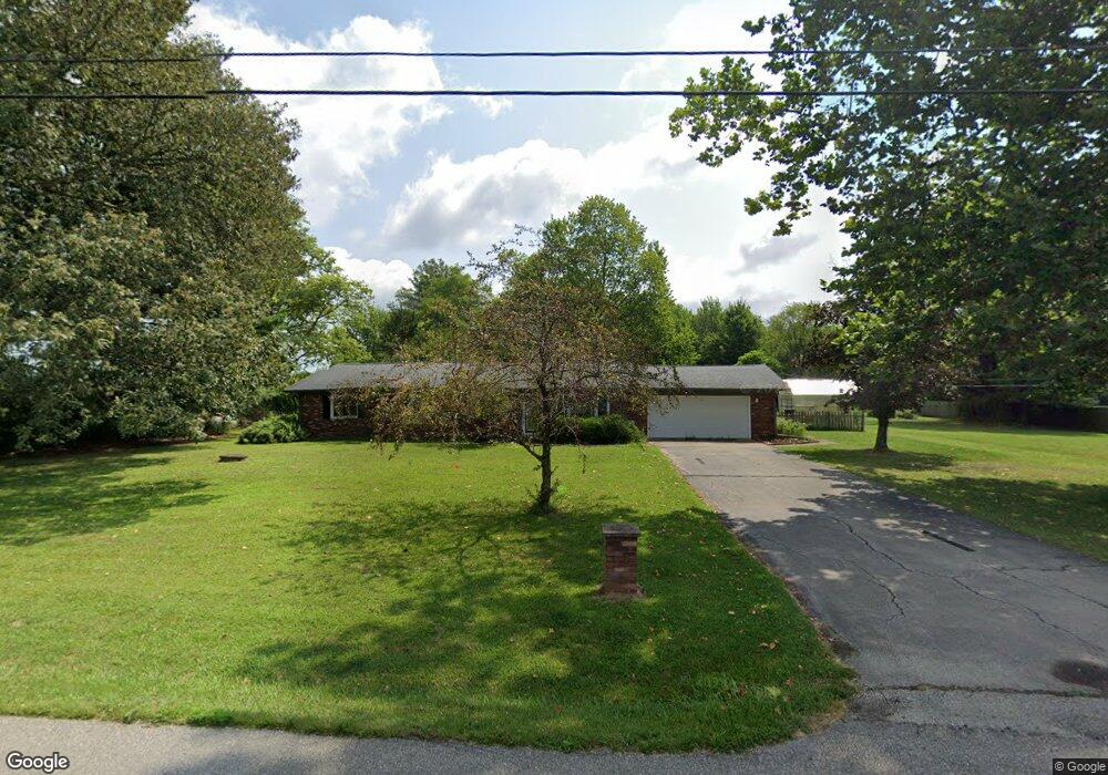
11175 S 100 W Columbus, IN 47201
Estimated Value: $278,000 - $290,000
4
Beds
2
Baths
1,568
Sq Ft
$181/Sq Ft
Est. Value
About This Home
This home is located at 11175 S 100 W, Columbus, IN 47201 and is currently estimated at $283,147, approximately $180 per square foot. 11175 S 100 W is a home located in Bartholomew County with nearby schools including Mount Healthy Elementary School, Central Middle School, and Columbus East High School.
Ownership History
Date
Name
Owned For
Owner Type
Purchase Details
Closed on
Aug 9, 2021
Sold by
Sherefkin Lara J and Bauer Jason
Bought by
Sherefkin Lara J
Current Estimated Value
Purchase Details
Closed on
May 26, 2005
Sold by
Sherefkin Lara J
Bought by
Sherefkin Lara J and Bauer Jason
Purchase Details
Closed on
May 24, 2005
Sold by
Peetz Shawn C and Peetz April E
Bought by
Sherefkin Lara J
Purchase Details
Closed on
Jun 19, 2000
Sold by
Dyer William L and Dyer Nancy S
Bought by
Peetz Shawn C and Peetz April E
Create a Home Valuation Report for This Property
The Home Valuation Report is an in-depth analysis detailing your home's value as well as a comparison with similar homes in the area
Home Values in the Area
Average Home Value in this Area
Purchase History
| Date | Buyer | Sale Price | Title Company |
|---|---|---|---|
| Sherefkin Lara J | -- | None Available | |
| Sherefkin Lara J | -- | Attorney | |
| Sherefkin Lara J | -- | Attorney | |
| Peetz Shawn C | -- | -- |
Source: Public Records
Tax History Compared to Growth
Tax History
| Year | Tax Paid | Tax Assessment Tax Assessment Total Assessment is a certain percentage of the fair market value that is determined by local assessors to be the total taxable value of land and additions on the property. | Land | Improvement |
|---|---|---|---|---|
| 2024 | $1,617 | $209,500 | $42,000 | $167,500 |
| 2023 | $1,538 | $197,300 | $42,000 | $155,300 |
| 2022 | $1,493 | $182,400 | $42,000 | $140,400 |
| 2021 | $1,319 | $162,400 | $36,000 | $126,400 |
| 2020 | $1,335 | $162,400 | $36,000 | $126,400 |
| 2019 | $1,177 | $0 | $0 | $0 |
| 2018 | $1,187 | $160,700 | $36,000 | $124,700 |
| 2017 | $1,102 | $152,200 | $34,000 | $118,200 |
| 2016 | $958 | $143,300 | $34,000 | $109,300 |
| 2014 | $1,097 | $146,200 | $35,000 | $111,200 |
Source: Public Records
Map
Nearby Homes
- 892 W 625 S
- 181 W 550 S
- 1001 E 450 S
- 16030 S Ferguson Rd
- 6594 S Jonesville Rd
- 6354 S Jonesville Rd
- 5974 S Jonesville Rd
- 619 Falcon Dr
- Lot 45 Taylor Dr at Taylor Ct
- 407 Mill St
- 1691 Wrenwood Dr
- 467 Dawson St
- 141 Dawson St
- 13525 W 700 S
- 234 Lincoln St
- 5403 S Vine St
- Lot 18 S Vine St
- 6951 W 450 S
- 5044 S Vine St
- 1951 Creek Bank Dr
- 11225 S 100 W
- 11180 S 100 W
- 11250 S 100 W
- 11300 S 100 W
- 11335 S 100 W
- 11002 S 100 W
- 10950 S 100 W
- 11420 S 100 W
- 11511 S 100 W
- 10880 S 100 W
- 11315 S 100 W
- 11470 S 100 W
- 10820 S 100 W
- 10770 S 100 W
- 100 W 700 S
- 0 S 100 W Unit 21502150S
- 0 S 100 W Unit 21502149S
- 0 S 100 W Unit MBR9994697S
- 0 S 100 W Unit MBR9992998S
- 0 S 100 W Unit MBR20600625S