Estimated Value: $195,000 - $216,000
4
Beds
2
Baths
1,299
Sq Ft
$159/Sq Ft
Est. Value
About This Home
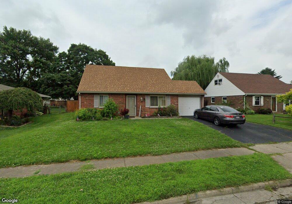
This home is located at 1118 Massachusetts Dr, Xenia, OH 45385 and is currently estimated at $206,701, approximately $159 per square foot. 1118 Massachusetts Dr is a home located in Greene County with nearby schools including Xenia High School and Summit Academy Community School for Alternative Learners - Xenia.
Ownership History
Date
Name
Owned For
Owner Type
Purchase Details
Closed on
Nov 20, 2017
Sold by
Griffith Roger D and Griffith Penny S
Bought by
Craft Joseph L
Current Estimated Value
Home Financials for this Owner
Home Financials are based on the most recent Mortgage that was taken out on this home.
Original Mortgage
$108,007
Outstanding Balance
$90,743
Interest Rate
3.95%
Mortgage Type
FHA
Estimated Equity
$115,958
Create a Home Valuation Report for This Property
The Home Valuation Report is an in-depth analysis detailing your home's value as well as a comparison with similar homes in the area
Home Values in the Area
Average Home Value in this Area
Purchase History
| Date | Buyer | Sale Price | Title Company |
|---|---|---|---|
| Craft Joseph L | $110,000 | -- |
Source: Public Records
Mortgage History
| Date | Status | Borrower | Loan Amount |
|---|---|---|---|
| Open | Craft Joseph L | $108,007 |
Source: Public Records
Tax History Compared to Growth
Tax History
| Year | Tax Paid | Tax Assessment Tax Assessment Total Assessment is a certain percentage of the fair market value that is determined by local assessors to be the total taxable value of land and additions on the property. | Land | Improvement |
|---|---|---|---|---|
| 2024 | $2,315 | $55,470 | $11,140 | $44,330 |
| 2023 | $2,315 | $55,470 | $11,140 | $44,330 |
| 2022 | $1,968 | $40,180 | $6,550 | $33,630 |
| 2021 | $1,995 | $40,180 | $6,550 | $33,630 |
| 2020 | $1,909 | $40,180 | $6,550 | $33,630 |
| 2019 | $1,777 | $35,200 | $6,370 | $28,830 |
| 2018 | $1,781 | $35,200 | $6,370 | $28,830 |
| 2017 | $1,217 | $35,200 | $6,370 | $28,830 |
| 2016 | $1,218 | $32,320 | $6,370 | $25,950 |
| 2015 | $1,221 | $32,320 | $6,370 | $25,950 |
| 2014 | $1,168 | $32,320 | $6,370 | $25,950 |
Source: Public Records
Map
Nearby Homes
- 1107 Arkansas Dr
- 2345 Tennessee Dr
- 2499 Jenny Marie Dr
- 1255 Colorado Dr
- 2421 Louisiana Dr
- 2540 Jenny Marie Dr
- 1908 Whitt St
- 2257 Maryland Dr
- 0 Berkshire Dr Unit 942854
- 2540 Cornwall Dr
- 1829 Gayhart Dr
- 1866 Roxbury Dr
- 1769 Gayhart Dr
- 2692 Kingman Dr
- 1403 Texas Dr
- 2142 Michigan Dr
- 2705 Tennessee Dr
- 2545 Harmony Dr
- 2784 Greystoke Dr
- 1213 Prem Place
- 1134 Massachusetts Dr
- 1102 Massachusetts Dr
- 2207 Tennessee Dr
- 1160 Massachusetts Dr
- 2221 Tennessee Dr
- 2193 Tennessee Dr
- 1078 Massachusetts Dr
- 1177 Massachusetts Dr
- 2235 Tennessee Dr
- 1193 Massachusetts Dr
- 1161 Massachusetts Dr
- 2179 Tennessee Dr
- 1176 Massachusetts Dr
- 1209 Massachusetts Dr
- 1145 Massachusetts Dr
- 2249 Tennessee Dr
- 1225 Massachusetts Dr
- 2263 Tennessee Dr
- 2218 Tennessee Dr
- 2136 Minnesota Dr