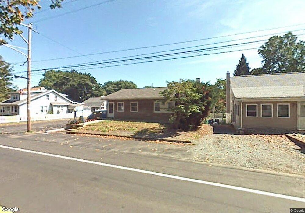
1118 State Rd Croydon, PA 19021
Estimated Value: $260,000 - $362,000
Studio
2
Baths
1,064
Sq Ft
$291/Sq Ft
Est. Value
About This Home
This home is located at 1118 State Rd, Croydon, PA 19021 and is currently estimated at $309,637, approximately $291 per square foot. 1118 State Rd is a home located in Bucks County with nearby schools including Truman Senior High School, School Lane Charter School, and St. Mark Elementary School.
Ownership History
Date
Name
Owned For
Owner Type
Purchase Details
Closed on
Mar 29, 2017
Sold by
Goldfard Irving and Goldfard Mariene
Bought by
Advanced Smiles Real Estate Llc
Current Estimated Value
Home Financials for this Owner
Home Financials are based on the most recent Mortgage that was taken out on this home.
Original Mortgage
$128,000
Outstanding Balance
$106,340
Interest Rate
4.15%
Mortgage Type
Future Advance Clause Open End Mortgage
Estimated Equity
$203,297
Purchase Details
Closed on
Jan 21, 1980
Sold by
Corn Philip D and Corn Elaine
Bought by
Goldfarb Irving and Goldfarb Marlene
Create a Home Valuation Report for This Property
The Home Valuation Report is an in-depth analysis detailing your home's value as well as a comparison with similar homes in the area
Home Values in the Area
Average Home Value in this Area
Purchase History
| Date | Buyer | Sale Price | Title Company |
|---|---|---|---|
| Advanced Smiles Real Estate Llc | $167,500 | None Available | |
| Goldfarb Irving | $35,000 | -- |
Source: Public Records
Mortgage History
| Date | Status | Borrower | Loan Amount |
|---|---|---|---|
| Open | Advanced Smiles Real Estate Llc | $128,000 |
Source: Public Records
Tax History Compared to Growth
Tax History
| Year | Tax Paid | Tax Assessment Tax Assessment Total Assessment is a certain percentage of the fair market value that is determined by local assessors to be the total taxable value of land and additions on the property. | Land | Improvement |
|---|---|---|---|---|
| 2025 | $3,585 | $13,200 | $1,560 | $11,640 |
| 2024 | $3,585 | $13,200 | $1,560 | $11,640 |
| 2023 | $3,558 | $13,200 | $1,560 | $11,640 |
| 2022 | $3,558 | $13,200 | $1,560 | $11,640 |
| 2021 | $3,558 | $13,200 | $1,560 | $11,640 |
| 2020 | $3,558 | $13,200 | $1,560 | $11,640 |
| 2019 | $3,545 | $13,200 | $1,560 | $11,640 |
| 2018 | $3,488 | $13,200 | $1,560 | $11,640 |
| 2017 | $3,435 | $13,200 | $1,560 | $11,640 |
| 2016 | $3,435 | $13,200 | $1,560 | $11,640 |
| 2015 | $2,664 | $13,200 | $1,560 | $11,640 |
| 2014 | $2,664 | $13,200 | $1,560 | $11,640 |
Source: Public Records
Map
Nearby Homes
- 716 Rosa Ave
- 811 Washington Ave
- 1005 Maryland Ave
- 1000 Main Ave
- 1206 Sycamore Ave
- 618 Cedar Ave
- 820 Keystone St
- 619 First Ave
- 405 Cedar Ave
- 910 Magnolia Ave
- 920 Third Ave
- 601 Fourth Ave
- 305 Miller Ave
- 200 Janet Ave
- 2307 State Rd
- 1000 Stephen Ave
- 1706 Spencer Dr
- 2506 State Rd
- 0 Newportville Rd Unit PABU487252
- 509 Neshaminy Rd