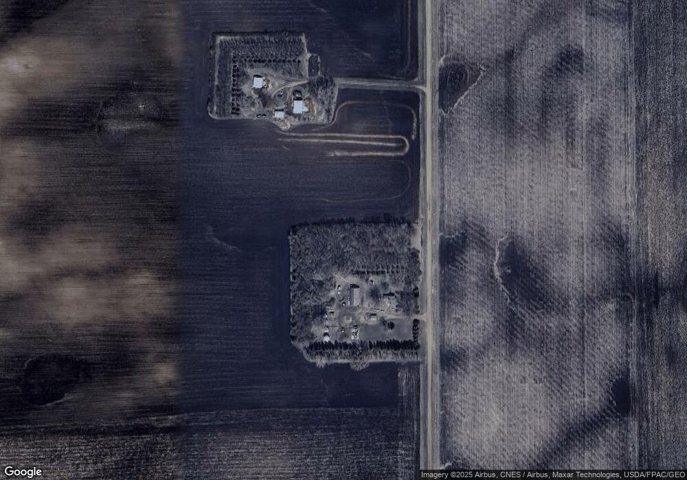
11183 280th Ave Comfrey, MN 56019
Estimated Value: $123,000 - $1,076,632
2
Beds
2
Baths
1,364
Sq Ft
$440/Sq Ft
Est. Value
About This Home
This home is located at 11183 280th Ave, Comfrey, MN 56019 and is currently estimated at $599,816, approximately $439 per square foot. 11183 280th Ave is a home located in Brown County with nearby schools including Comfrey Elementary School and Comfrey Secondary School.
Ownership History
Date
Name
Owned For
Owner Type
Purchase Details
Closed on
Jul 22, 2024
Sold by
Hesse Patricia and Hesse David
Bought by
Hesse Patricia and Hesse David
Current Estimated Value
Purchase Details
Closed on
May 13, 2023
Sold by
Lien Deborah and Lien Norell
Bought by
Hesse Patricia
Purchase Details
Closed on
Apr 25, 2023
Sold by
Hesse Patricia and Hesse David
Bought by
Lien Deborah
Create a Home Valuation Report for This Property
The Home Valuation Report is an in-depth analysis detailing your home's value as well as a comparison with similar homes in the area
Purchase History
| Date | Buyer | Sale Price | Title Company |
|---|---|---|---|
| Hesse Patricia | $500 | None Listed On Document | |
| Hesse Patricia | $3,000 | None Listed On Document | |
| Lien Deborah | $3,000 | None Listed On Document |
Source: Public Records
Tax History
| Year | Tax Paid | Tax Assessment Tax Assessment Total Assessment is a certain percentage of the fair market value that is determined by local assessors to be the total taxable value of land and additions on the property. | Land | Improvement |
|---|---|---|---|---|
| 2024 | $4,000 | $1,091,400 | $1,015,100 | $76,300 |
| 2023 | $4,000 | $939,200 | $872,000 | $67,200 |
| 2022 | $3,681 | $1,475,300 | $1,401,900 | $73,400 |
| 2021 | $3,822 | $1,256,900 | $1,202,600 | $54,300 |
| 2020 | $3,813 | $1,249,800 | $1,196,600 | $53,200 |
| 2019 | $3,670 | $1,284,500 | $1,232,400 | $52,100 |
| 2018 | $3,818 | $1,285,400 | $1,232,400 | $53,000 |
| 2017 | $3,811 | $1,336,400 | $1,282,900 | $53,500 |
| 2016 | $4,054 | $1,430,055 | $0 | $0 |
| 2015 | -- | $0 | $0 | $0 |
| 2014 | -- | $0 | $0 | $0 |
| 2013 | -- | $0 | $0 | $0 |
Source: Public Records
Map
Nearby Homes
- 0 Co Rd 20 at 300th Ave Unit NOC6334138
- 13384 300th Ave
- 0 St Unit 7033399
- 0 St Unit 7033398
- 0 Lot 2 135th St Unit 7033397
- 0 110th St at 213th Ave Unit NOC6334903
- 59347 County Road 17 E
- 73681 290th St
- 21599 170th St
- 109 White St N
- 19800 139th St
- 62328 340th St
- 0 Mn Hwy 30 at 580th Ave Unit NOC6334887
- 1013 Westwood Dr
- 1007 Westwood Dr
- 1106 4th Street Ct N
- 308 11th Ave N
- 1145 8th St N
- 1140 9th St N
- 1133 10th St N
Your Personal Tour Guide
Ask me questions while you tour the home.