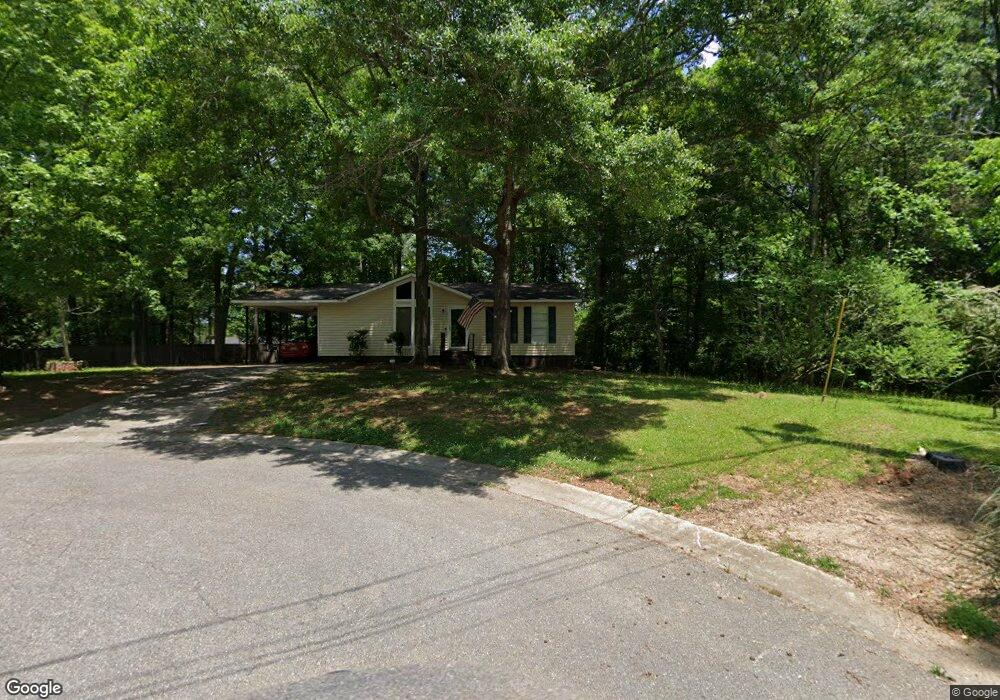
1119 Eagle Dr Alabaster, AL 35114
Estimated Value: $136,000 - $198,000
Studio
--
Bath
1,008
Sq Ft
$173/Sq Ft
Est. Value
About This Home
This home is located at 1119 Eagle Dr, Alabaster, AL 35114 and is currently estimated at $174,822, approximately $173 per square foot. 1119 Eagle Dr is a home with nearby schools including Thompson Intermediate School, Thompson Middle School, and Thompson High School.
Ownership History
Date
Name
Owned For
Owner Type
Purchase Details
Closed on
Mar 31, 2014
Sold by
Shelton James and Shelton Patricia A
Bought by
Pickett Ricky and Pickett Cindy
Current Estimated Value
Home Financials for this Owner
Home Financials are based on the most recent Mortgage that was taken out on this home.
Original Mortgage
$60,000
Outstanding Balance
$45,646
Interest Rate
4.36%
Mortgage Type
Seller Take Back
Estimated Equity
$129,176
Purchase Details
Closed on
Dec 1, 1997
Sold by
Payne John L and Payne Alice H
Bought by
Shelton James O and Shelton Patricia A
Create a Home Valuation Report for This Property
The Home Valuation Report is an in-depth analysis detailing your home's value as well as a comparison with similar homes in the area
Home Values in the Area
Average Home Value in this Area
Purchase History
| Date | Buyer | Sale Price | Title Company |
|---|---|---|---|
| Pickett Ricky | $60,000 | None Available | |
| Shelton James O | $72,000 | -- |
Source: Public Records
Mortgage History
| Date | Status | Borrower | Loan Amount |
|---|---|---|---|
| Open | Pickett Ricky | $60,000 |
Source: Public Records
Tax History
| Year | Tax Paid | Tax Assessment Tax Assessment Total Assessment is a certain percentage of the fair market value that is determined by local assessors to be the total taxable value of land and additions on the property. | Land | Improvement |
|---|---|---|---|---|
| 2024 | $1,577 | $29,200 | $0 | $0 |
| 2023 | $1,494 | $27,660 | $0 | $0 |
| 2022 | $1,417 | $26,240 | $0 | $0 |
| 2021 | $1,254 | $23,220 | $0 | $0 |
| 2020 | $1,110 | $0 | $0 | $0 |
| 2019 | $1,022 | $18,920 | $0 | $0 |
| 2017 | $902 | $16,700 | $0 | $0 |
| 2015 | $886 | $16,400 | $0 | $0 |
| 2014 | $870 | $16,120 | $0 | $0 |
Source: Public Records
Map
Nearby Homes
- 1143 Eagle Dr
- 1138 Eagle Dr
- 328 Sweet Leaf Dr
- 199 Red Bay Dr
- 221 Lacey Ave
- 257 Lacey Ave
- 125 Mountain Pkwy
- 1639 Caribbean Cir
- 132 Victoria Station
- 104 Kentwood Trail Cir
- 217 Kensington Ln
- 117 Big Oak Dr
- 9595 Highway 17
- 164 Kentwood Dr
- 413 Cornwall Dr
- 174 Cedar Grove Pkwy
- 108 Kentwood Ln
- 549 Ramsgate Dr
- 120 Sterling Gate Dr
- 545 Ramsgate Dr
- 916 Burnt Pine Dr
- 1121 Eagle Dr
- 1117 Eagle Dr
- 918 Burnt Pine Dr
- 1123 Eagle Dr
- 914 Burnt Pine Dr
- 1115 Eagle Dr
- 920 Burnt Pine Dr
- 912 Burnt Pine Dr
- 1127 Eagle Dr
- 1113 Eagle Dr
- 1131 Eagle Dr
- 1116 Eagle Dr
- 1135 Eagle Dr
- 910 Burnt Pine Dr
- 1111 Eagle Dr
- 1122 Eagle Dr
- 1114 Eagle Dr
- 1126 Eagle Dr
- 911 Burnt Pine Dr
Your Personal Tour Guide
Ask me questions while you tour the home.