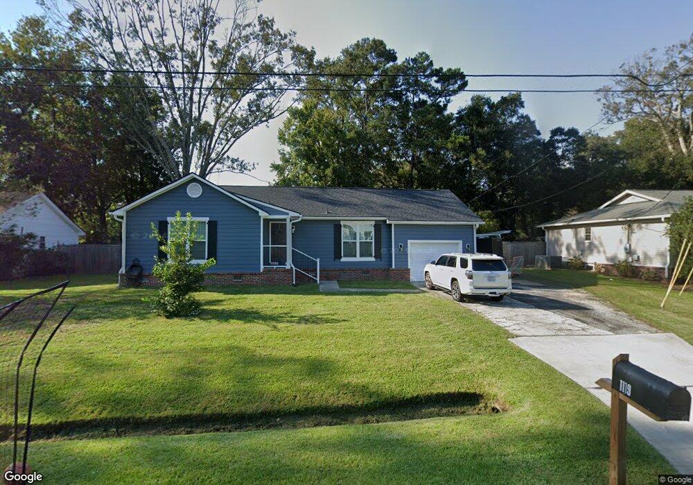
1119 Kentwood Cir Charleston, SC 29412
James Island NeighborhoodEstimated Value: $378,000 - $565,000
3
Beds
2
Baths
1,585
Sq Ft
$319/Sq Ft
Est. Value
About This Home
This home is located at 1119 Kentwood Cir, Charleston, SC 29412 and is currently estimated at $505,605, approximately $318 per square foot. 1119 Kentwood Cir is a home located in Charleston County with nearby schools including James Island Elementary School, Camp Road Middle, and James Island Charter High School.
Ownership History
Date
Name
Owned For
Owner Type
Purchase Details
Closed on
Dec 2, 2011
Sold by
Harvey Samuel B
Bought by
Maccargar Scott K and Maccargar Susan G
Current Estimated Value
Home Financials for this Owner
Home Financials are based on the most recent Mortgage that was taken out on this home.
Original Mortgage
$126,704
Outstanding Balance
$86,882
Interest Rate
4.06%
Mortgage Type
FHA
Estimated Equity
$418,723
Purchase Details
Closed on
Mar 15, 2005
Sold by
Weckenman Martin J
Bought by
Harvey Samuel B
Purchase Details
Closed on
Feb 20, 2002
Sold by
Robinson Jane L
Bought by
Weckenman Martin J
Purchase Details
Closed on
Dec 19, 2000
Sold by
Fortuna Eileen
Bought by
Robinson Jane L
Purchase Details
Closed on
Dec 8, 1999
Sold by
Perry Lynn
Bought by
Fortuna Eileen
Purchase Details
Closed on
Oct 28, 1999
Sold by
Sweeney Edward M and Sweeney Elizabeth E
Bought by
Perry Lynn
Create a Home Valuation Report for This Property
The Home Valuation Report is an in-depth analysis detailing your home's value as well as a comparison with similar homes in the area
Home Values in the Area
Average Home Value in this Area
Purchase History
| Date | Buyer | Sale Price | Title Company |
|---|---|---|---|
| Maccargar Scott K | $130,000 | -- | |
| Harvey Samuel B | $195,000 | -- | |
| Weckenman Martin J | $153,000 | -- | |
| Robinson Jane L | $110,000 | -- | |
| Fortuna Eileen | -- | -- | |
| Fortuna Eileen | -- | -- | |
| Perry Lynn | -- | -- |
Source: Public Records
Mortgage History
| Date | Status | Borrower | Loan Amount |
|---|---|---|---|
| Open | Maccargar Scott K | $126,704 |
Source: Public Records
Tax History Compared to Growth
Tax History
| Year | Tax Paid | Tax Assessment Tax Assessment Total Assessment is a certain percentage of the fair market value that is determined by local assessors to be the total taxable value of land and additions on the property. | Land | Improvement |
|---|---|---|---|---|
| 2024 | $1,159 | $9,060 | $0 | $0 |
| 2023 | $1,159 | $9,060 | $0 | $0 |
| 2022 | $1,042 | $9,060 | $0 | $0 |
| 2021 | $1,113 | $9,060 | $0 | $0 |
| 2020 | $1,125 | $9,060 | $0 | $0 |
| 2019 | $1,031 | $7,880 | $0 | $0 |
| 2017 | $1,092 | $7,880 | $0 | $0 |
| 2016 | $1,049 | $7,880 | $0 | $0 |
| 2015 | $1,084 | $7,880 | $0 | $0 |
| 2014 | $949 | $0 | $0 | $0 |
| 2011 | -- | $0 | $0 | $0 |
Source: Public Records
Map
Nearby Homes
- 1107 Secessionville Rd
- 1135 Bellwood Rd
- 1014 Arborwood Dr
- 1418 Kentwood Cir
- 1030 Pauline Ave
- 1129 Landsdowne Dr
- 1153 Pauline Ave
- 1232 Silverleaf Cir
- 1335 Camp Rd
- 1530 Fort Johnson Rd Unit 1E
- 1530 Fort Johnson Rd Unit 1L
- 1508 Swamp Fox Ln
- 1152 Bradford Ave
- 1402 Camp Rd Unit 5E
- 1402 Camp Rd Unit 6E
- 1402 Camp Rd Unit 1H
- 1402 Camp Rd Unit 8B
- 1402 Camp Rd Unit 9C
- 1402 Camp Rd Unit 12F
- 1453 Camp Rd
- 1115 Kentwood Cir
- 1123 Kentwood Cir
- 1102 Woodside Dr
- 1098 Woodside Dr
- 1106 Woodside Dr
- 1116 Kentwood Cir
- 1094 Woodside Dr
- 1120 Kentwood Cir
- 1127 Kentwood Cir
- 1112 Kentwood Cir
- 1124 Kentwood Cir
- 1110 Woodside Dr
- 1108 Kentwood Cir
- 1097 Woodside Dr
- 1415 Penwood Place
- 1112 Starwood Ct
- 1578 Kentwood Cir
- 1101 Woodside Dr
- 1093 Kentwood Cir
- 1116 Starwood Ct