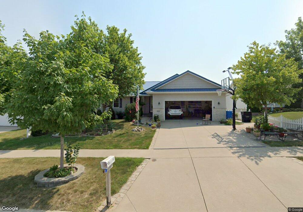
1119 Koudsi Blvd NW Cedar Rapids, IA 52405
Estimated Value: $342,000 - $401,000
3
Beds
4
Baths
1,493
Sq Ft
$242/Sq Ft
Est. Value
About This Home
This home is located at 1119 Koudsi Blvd NW, Cedar Rapids, IA 52405 and is currently estimated at $361,527, approximately $242 per square foot. 1119 Koudsi Blvd NW is a home located in Linn County with nearby schools including Maple Grove Elementary School, North Middletown Elementary School, and Ponderosa Elementary School.
Ownership History
Date
Name
Owned For
Owner Type
Purchase Details
Closed on
Dec 7, 2006
Sold by
Cbn Enterprises Inc
Bought by
Lathrop Robert L and Lathrop Coleen H
Current Estimated Value
Home Financials for this Owner
Home Financials are based on the most recent Mortgage that was taken out on this home.
Original Mortgage
$199,990
Outstanding Balance
$120,627
Interest Rate
6.47%
Mortgage Type
Purchase Money Mortgage
Estimated Equity
$240,900
Create a Home Valuation Report for This Property
The Home Valuation Report is an in-depth analysis detailing your home's value as well as a comparison with similar homes in the area
Home Values in the Area
Average Home Value in this Area
Purchase History
| Date | Buyer | Sale Price | Title Company |
|---|---|---|---|
| Lathrop Robert L | $249,500 | None Available |
Source: Public Records
Mortgage History
| Date | Status | Borrower | Loan Amount |
|---|---|---|---|
| Open | Lathrop Robert L | $199,990 |
Source: Public Records
Tax History Compared to Growth
Tax History
| Year | Tax Paid | Tax Assessment Tax Assessment Total Assessment is a certain percentage of the fair market value that is determined by local assessors to be the total taxable value of land and additions on the property. | Land | Improvement |
|---|---|---|---|---|
| 2025 | $5,340 | $349,600 | $58,000 | $291,600 |
| 2024 | $5,514 | $320,800 | $54,700 | $266,100 |
| 2023 | $5,514 | $320,800 | $54,700 | $266,100 |
| 2022 | $4,850 | $273,700 | $48,100 | $225,600 |
| 2021 | $4,940 | $246,500 | $41,500 | $205,000 |
| 2020 | $4,940 | $235,800 | $41,500 | $194,300 |
| 2019 | $4,378 | $214,900 | $33,200 | $181,700 |
| 2018 | $4,322 | $214,900 | $33,200 | $181,700 |
| 2017 | $4,300 | $206,000 | $33,200 | $172,800 |
| 2016 | $4,341 | $204,200 | $33,200 | $171,000 |
| 2015 | $4,415 | $207,463 | $33,168 | $174,295 |
| 2014 | $4,230 | $207,463 | $33,168 | $174,295 |
| 2013 | $4,064 | $207,463 | $33,168 | $174,295 |
Source: Public Records
Map
Nearby Homes
- 4819 Fruitwood Ln NW
- 1722 Gardner Dr NW
- 1608 Morris Ave NW
- 3802 Richland Dr NW
- 272 Peace Ave NW
- 4819 Ford Ave NW
- 281 Jacolyn Dr NW
- 208 Lenora Dr NW
- 4975 Kesler Rd NW
- 3313 Crestwood Dr NW
- 229 Jacolyn Dr NW
- 327* Edgewood Rd NW
- 3507 E Ave NW Unit F
- 3312 G Ave NW
- 3509 E Ave NW Unit D
- 5127 Holly Ave NW
- 4910 Gordon Ave NW
- 200 Cherry Park Dr NW
- 3600 Midway Dr NW
- 1613 Southview Dr NW
- 1113 Koudsi Blvd NW
- 1125 Koudsi Blvd NW
- 1112 Wolf Dr NW
- 1203 Koudsi Blvd NW
- 1107 Koudsi Blvd NW
- 1118 Wolf Dr NW
- 1106 Wolf Dr NW
- 1100 Wolf Dr NW
- 1124 Wolf Dr NW
- 1120 Koudsi Blvd NW
- 1114 Koudsi Blvd NW
- 1101 Koudsi Blvd NW
- 1209 Koudsi Blvd NW
- 1126 Koudsi Blvd NW
- 1108 Koudsi Blvd NW
- 1028 Wolf Dr NW
- 1202 Wolf Dr NW
- 1208 Koudsi Blvd NW
- 1029 Koudsi Blvd NW
- 1215 Koudsi Blvd NW