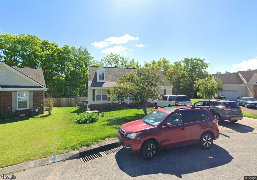
1119 Mcdonough Cir Thompsons Station, TN 37179
Estimated Value: $392,000 - $518,000
--
Bed
2
Baths
1,344
Sq Ft
$321/Sq Ft
Est. Value
About This Home
This home is located at 1119 Mcdonough Cir, Thompsons Station, TN 37179 and is currently estimated at $431,370, approximately $320 per square foot. 1119 Mcdonough Cir is a home located in Williamson County with nearby schools including Thompson's Station Middle School, Summit High School, and Primrose School of Spring Hill.
Ownership History
Date
Name
Owned For
Owner Type
Purchase Details
Closed on
May 7, 2024
Sold by
Powell Edgar Douglas and Lora Anne
Bought by
Powell Revocable Living Trust and Powell
Current Estimated Value
Purchase Details
Closed on
Sep 4, 2002
Sold by
John Maher Builders Inc
Bought by
Powell Edgar Douglas and Powell Lora Anne
Home Financials for this Owner
Home Financials are based on the most recent Mortgage that was taken out on this home.
Original Mortgage
$130,935
Interest Rate
6.31%
Create a Home Valuation Report for This Property
The Home Valuation Report is an in-depth analysis detailing your home's value as well as a comparison with similar homes in the area
Home Values in the Area
Average Home Value in this Area
Purchase History
| Date | Buyer | Sale Price | Title Company |
|---|---|---|---|
| Powell Revocable Living Trust | -- | None Listed On Document | |
| Powell Edgar Douglas | $132,000 | Mid State Title & Escrow Inc |
Source: Public Records
Mortgage History
| Date | Status | Borrower | Loan Amount |
|---|---|---|---|
| Previous Owner | Powell Edgar Douglas | $130,935 |
Source: Public Records
Tax History Compared to Growth
Tax History
| Year | Tax Paid | Tax Assessment Tax Assessment Total Assessment is a certain percentage of the fair market value that is determined by local assessors to be the total taxable value of land and additions on the property. | Land | Improvement |
|---|---|---|---|---|
| 2024 | $475 | $64,325 | $15,000 | $49,325 |
| 2023 | $475 | $64,325 | $15,000 | $49,325 |
| 2022 | $1,177 | $64,325 | $15,000 | $49,325 |
| 2021 | $1,177 | $64,325 | $15,000 | $49,325 |
| 2020 | $1,019 | $47,175 | $11,250 | $35,925 |
| 2019 | $1,019 | $47,175 | $11,250 | $35,925 |
| 2018 | $903 | $43,200 | $11,250 | $31,950 |
| 2017 | $894 | $43,200 | $11,250 | $31,950 |
| 2016 | $881 | $43,200 | $11,250 | $31,950 |
| 2015 | -- | $35,600 | $11,250 | $24,350 |
| 2014 | -- | $35,600 | $11,250 | $24,350 |
Source: Public Records
Map
Nearby Homes
- 1325 Branchside Ct
- 1317 Branchside Ct
- 1252 Annapolis Cir
- 1140 Summerville Cir
- 2131 Carlton Ln
- 458 Buckwood Ave W
- 311 Buckwood Ln N
- 452 Buckwood Ave W
- 465 Buckwood Ave
- 1528 Bunbury Dr
- 1710 Tellico Dr
- 2517 Tisdale Dr
- 2766 Trasbin Ct
- 1301 Saybrook Crossing
- 454 Buckwood Ave E
- 1409 Saybrook Trail
- 2104 Loudenslager Dr
- 466 Buckwood Ave W
- 462 Buckwood Ave W
- 2112 Loudenslager Dr
- 1121 Mcdonough Cir
- 1117 Mcdonough Cir
- 1123 Mcdonough Cir
- 1115 Mcdonough Cir
- 1114 Mcdonough Cir
- 1125 Mcdonough Cir
- 1113 Mcdonough Cir
- 1110 Mcdonough Cir
- 1109 Mcdonough Cir
- 1127 Mcdonough Cir
- 1329 Branchside Ct
- 1321 Branchside Ct
- 1108 Mcdonough Cir
- 1107 Mcdonough Cir
- 1106 Mcdonough Cir
- 1120 Mcdonough Cir
- 1105 Mcdonough Cir
- 1313 Branchside Ct
- 1131 Mcdonough Cir
- 1104 Mcdonough Cir