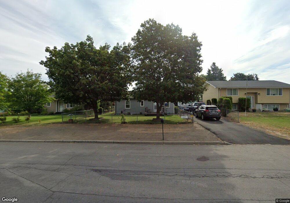
1119 S Lundstrom St Airway Heights, WA 99001
Estimated Value: $224,000 - $279,000
2
Beds
1
Bath
680
Sq Ft
$357/Sq Ft
Est. Value
About This Home
This home is located at 1119 S Lundstrom St, Airway Heights, WA 99001 and is currently estimated at $242,765, approximately $357 per square foot. 1119 S Lundstrom St is a home with nearby schools including Sunset Elementary School, Westwood Middle School, and Cheney High School.
Ownership History
Date
Name
Owned For
Owner Type
Purchase Details
Closed on
Mar 13, 2001
Sold by
Lane Brian C and Lane Danielle M
Bought by
Culnane Scott D and Culnane Betty I
Current Estimated Value
Home Financials for this Owner
Home Financials are based on the most recent Mortgage that was taken out on this home.
Original Mortgage
$62,518
Outstanding Balance
$22,679
Interest Rate
6.97%
Mortgage Type
FHA
Estimated Equity
$220,086
Create a Home Valuation Report for This Property
The Home Valuation Report is an in-depth analysis detailing your home's value as well as a comparison with similar homes in the area
Home Values in the Area
Average Home Value in this Area
Purchase History
| Date | Buyer | Sale Price | Title Company |
|---|---|---|---|
| Culnane Scott D | $63,500 | Transnation Title Insurance |
Source: Public Records
Mortgage History
| Date | Status | Borrower | Loan Amount |
|---|---|---|---|
| Open | Culnane Scott D | $62,518 |
Source: Public Records
Tax History Compared to Growth
Tax History
| Year | Tax Paid | Tax Assessment Tax Assessment Total Assessment is a certain percentage of the fair market value that is determined by local assessors to be the total taxable value of land and additions on the property. | Land | Improvement |
|---|---|---|---|---|
| 2025 | $2,158 | $201,900 | $70,000 | $131,900 |
| 2024 | $2,158 | $201,500 | $70,000 | $131,500 |
| 2023 | $1,564 | $197,700 | $70,000 | $127,700 |
| 2022 | $1,325 | $197,700 | $70,000 | $127,700 |
| 2021 | $1,280 | $118,500 | $28,000 | $90,500 |
| 2020 | $1,173 | $103,300 | $25,000 | $78,300 |
| 2019 | $1,013 | $91,300 | $25,000 | $66,300 |
| 2018 | $1,062 | $81,700 | $25,000 | $56,700 |
| 2017 | $957 | $78,900 | $25,000 | $53,900 |
| 2016 | $773 | $69,300 | $20,000 | $49,300 |
| 2015 | $803 | $70,200 | $20,000 | $50,200 |
| 2014 | -- | $71,200 | $20,000 | $51,200 |
| 2013 | -- | $0 | $0 | $0 |
Source: Public Records
Map
Nearby Homes
- 1008 S Beeman St
- NKA S Lundstrom St
- 1308 S Ziegler St
- 12823 W 13th Ave Unit 13
- 12814 W 13th Ave
- 12712 W 11th Ave
- 12715 W 10th Ave
- 13618 W 12th Ave
- 13514 W 8th Ct
- 12608 W 9th Ave
- 13609 W 8th Ct
- 13610 W 8th Ct
- 940 S Campbell St
- 0 S Campbell St
- 13614 W 8th Ct
- 13622 W 8th Ct
- 13618 W 8th Ct
- 12510 W 11th Ave
- 13813 W Redding Dr Unit 13811 W Redding Dr
- 524 S Joslin Place
- 1125 S Lundstrom St
- 1107 S Lundstrom St
- 1118 S Beeman St
- 1106 S Beeman St
- 1110 S Beeman St
- 1120 S Lundstrom St
- 1033 S Lundstrom St
- 1108 S Lundstrom St
- 1126 S Lundstrom St
- 1032 S Beeman St
- 1027 S Lundstrom St
- 1102 S Lundstrom St
- 13031 W 12th Ave
- 1032 S Lundstrom St
- 914 S Hazelwood Ct
- 1021 S Lundstrom St
- 13029 W 12th Ave
- 1026 S Beeman St
- 1026 S Lundstrom St
- 1113 S Beeman St