Estimated Value: $421,000 - $446,977
4
Beds
3
Baths
2,268
Sq Ft
$192/Sq Ft
Est. Value
About This Home
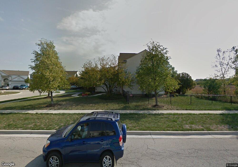
This home is located at 1119 Umbdenstock Rd Unit 9, Elgin, IL 60123 and is currently estimated at $434,994, approximately $191 per square foot. 1119 Umbdenstock Rd Unit 9 is a home located in Kane County with nearby schools including Fox Meadow Elementary School, Kenyon Woods Middle School, and South Elgin High School.
Ownership History
Date
Name
Owned For
Owner Type
Purchase Details
Closed on
Jun 26, 2001
Sold by
Pulte Homes
Bought by
Delisi Giovanni A and Delisi Daniela C
Current Estimated Value
Home Financials for this Owner
Home Financials are based on the most recent Mortgage that was taken out on this home.
Original Mortgage
$232,500
Interest Rate
6.87%
Create a Home Valuation Report for This Property
The Home Valuation Report is an in-depth analysis detailing your home's value as well as a comparison with similar homes in the area
Home Values in the Area
Average Home Value in this Area
Purchase History
| Date | Buyer | Sale Price | Title Company |
|---|---|---|---|
| Delisi Giovanni A | $259,000 | First American Title |
Source: Public Records
Mortgage History
| Date | Status | Borrower | Loan Amount |
|---|---|---|---|
| Previous Owner | Delisi Giovanni A | $232,500 |
Source: Public Records
Tax History Compared to Growth
Tax History
| Year | Tax Paid | Tax Assessment Tax Assessment Total Assessment is a certain percentage of the fair market value that is determined by local assessors to be the total taxable value of land and additions on the property. | Land | Improvement |
|---|---|---|---|---|
| 2024 | $10,327 | $137,043 | $28,317 | $108,726 |
| 2023 | $9,872 | $123,808 | $25,582 | $98,226 |
| 2022 | $9,269 | $112,891 | $23,326 | $89,565 |
| 2021 | $8,881 | $105,545 | $21,808 | $83,737 |
| 2020 | $8,642 | $100,759 | $20,819 | $79,940 |
| 2019 | $8,404 | $95,979 | $19,831 | $76,148 |
| 2018 | $8,346 | $90,418 | $18,682 | $71,736 |
| 2017 | $8,175 | $85,477 | $17,661 | $67,816 |
| 2016 | $7,818 | $79,300 | $16,385 | $62,915 |
| 2015 | -- | $72,685 | $15,018 | $57,667 |
| 2014 | -- | $65,629 | $14,833 | $50,796 |
| 2013 | -- | $67,360 | $15,224 | $52,136 |
Source: Public Records
Map
Nearby Homes
- 1141 Delta Ct Unit 255E
- 740 Fairview Ln
- 1044 Reserve Dr
- 1458 Woodland Dr
- 1410 Misthaven Ln
- 2464 Emily Ln
- 2527 Emily Ln
- 25 Kingsport Ct
- 761 Verde Vista Ct Unit 611F
- 522 Lowell Dr Unit 2
- 512 Lowell Dr Unit 2
- 1524 S Pembroke Dr
- 2038 College Green Dr
- 2525 Rolling Ridge
- 1236 Sandhurst Ln Unit 4
- 671 Fieldcrest Dr
- 2452 Daybreak Ct Unit 2452
- 9N621 Flora Dr Unit 1
- 611 Woodbridge Dr
- 1063 Manchester Ct Unit 1
- 1117 Umbdenstock Rd Unit 9
- 1115 Umbdenstock Rd
- 1113 Umbdenstock Rd
- 1111 Umbdenstock Rd
- 2355 Cove Ct Unit 163C
- 2359 Cove Ct Unit 165A
- 2357 Cove Ct Unit 164B
- 2353 Cove Ct Unit 162D
- 2351 Cove Ct Unit 161E
- 2358 Cove Ct Unit 122B
- 2354 Cove Ct Unit 124D
- 2356 Cove Ct Unit 123C
- 2360 Cove Ct Unit 121
- 2350 Cove Ct
- 1106 Cottage Cove
- 2350 Camden Bay Unit 176A
- 2352 Camden Bay Unit 175B
- 2354 Camden Bay Unit 174D
- 2356 Camden Bay Unit 173C
- 2358 Camden Bay Unit 172B