11199 Walmort Rd Wilton, CA 95693
Estimated Value: $786,000 - $1,582,000
7
Beds
5
Baths
3,988
Sq Ft
$317/Sq Ft
Est. Value
About This Home
This home is located at 11199 Walmort Rd, Wilton, CA 95693 and is currently estimated at $1,265,811, approximately $317 per square foot. 11199 Walmort Rd is a home with nearby schools including C.W. Dillard Elementary School, Katherine L. Albiani Middle School, and Pleasant Grove High School.
Ownership History
Date
Name
Owned For
Owner Type
Purchase Details
Closed on
Feb 25, 2016
Sold by
Morgan Robert O B and Morgan Shirley K
Bought by
Morgan Robert O B and Morgan Shirley K
Current Estimated Value
Purchase Details
Closed on
Feb 25, 2013
Sold by
Indymac Venture Llc
Bought by
Morgan Robert O B and Morgan Shirley K
Purchase Details
Closed on
Feb 11, 2013
Sold by
Salvador Ryan P
Bought by
Indymac Vneture Llc
Purchase Details
Closed on
Oct 24, 2005
Sold by
Salvador Ryan P
Bought by
Salvador R
Create a Home Valuation Report for This Property
The Home Valuation Report is an in-depth analysis detailing your home's value as well as a comparison with similar homes in the area
Home Values in the Area
Average Home Value in this Area
Purchase History
| Date | Buyer | Sale Price | Title Company |
|---|---|---|---|
| Morgan Robert O B | -- | None Available | |
| Morgan Robert O B | $104,000 | Ticor Title | |
| Indymac Vneture Llc | $50,000 | First American Title Insuran | |
| Salvador R | -- | -- |
Source: Public Records
Tax History
| Year | Tax Paid | Tax Assessment Tax Assessment Total Assessment is a certain percentage of the fair market value that is determined by local assessors to be the total taxable value of land and additions on the property. | Land | Improvement |
|---|---|---|---|---|
| 2025 | $10,197 | $969,743 | $128,064 | $841,679 |
| 2024 | $10,197 | $950,729 | $125,553 | $825,176 |
| 2023 | $9,891 | $932,089 | $123,092 | $808,997 |
| 2022 | $9,716 | $913,814 | $120,679 | $793,135 |
| 2021 | $9,612 | $895,897 | $118,313 | $777,584 |
| 2020 | $9,478 | $886,711 | $117,100 | $769,611 |
| 2019 | $9,300 | $869,325 | $114,804 | $754,521 |
| 2018 | $8,115 | $764,045 | $112,553 | $651,492 |
| 2017 | $7,969 | $749,065 | $110,347 | $638,718 |
| 2016 | $7,148 | $694,579 | $108,184 | $586,395 |
| 2015 | $3,113 | $290,155 | $106,559 | $183,596 |
| 2014 | $1,112 | $104,472 | $104,472 | $0 |
Source: Public Records
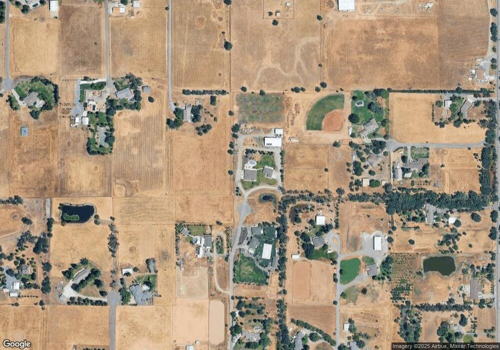
Map
Nearby Homes
- 0 Davis Rd Unit 226005785
- 0 Parcel D Unit 226001796
- 11529 Arno Rd
- 10600 Colony Rd
- 11276 Randolph Rd
- 0 Colony Hill Ln
- 7770 Dillard Rd
- 0 Blake Rd
- #1 Alta Mesa Rd
- 0 Alta Mesa Rd Unit 224117427
- 11213 Colony Rd
- 11490 Arno Rd
- 11343-2 Arno Rd
- 11343-4 Arno Rd
- 10676 Wilton Rd
- 9777 Tavernor Rd
- 0 Woods Rd Unit SR25200996
- 5-acres Hobday Rd
- 9425 Montevideo Dr
- 10412 Sheldon Rd
- 11050 Mann Rd
- 11185 Walmort Rd
- 11221 Walmort Rd
- 10270 Davis Rd
- 10260 Davis Rd
- 11225 Walmort Rd
- 11020 Mann Rd
- 11177 Walmort Rd
- 10290 Davis Rd
- 11129 Walmort Rd
- 11207 Walmort Rd
- 11010 Mann Rd
- 10312 Davis Rd
- 11248 Mann Rd
- 11248 Mann Rd
- 11109 Walmort Rd
- 11231 Walmort Rd
- 11173 Walmort Rd
- 11168 Mann Rd
- 10250 Davis Rd
Your Personal Tour Guide
Ask me questions while you tour the home.