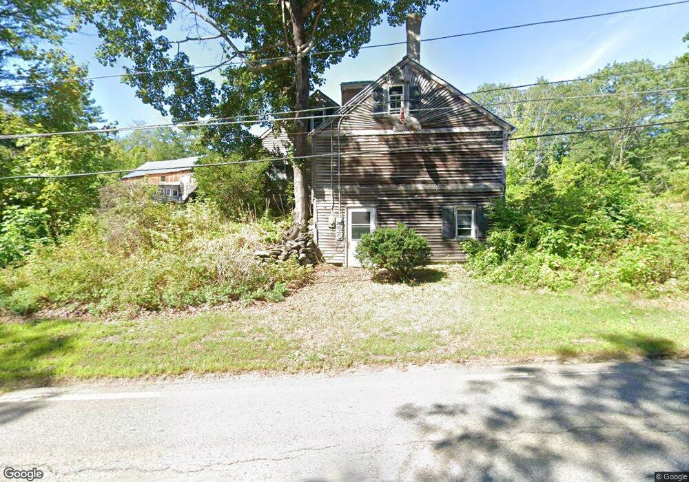
112 Ashburnham State Rd Westminster, MA 01473
Estimated Value: $331,000 - $545,000
2
Beds
3
Baths
1,941
Sq Ft
$229/Sq Ft
Est. Value
About This Home
This home is located at 112 Ashburnham State Rd, Westminster, MA 01473 and is currently estimated at $443,643, approximately $228 per square foot. 112 Ashburnham State Rd is a home located in Worcester County with nearby schools including Oakmont Regional High School, Applewild School, and Cushing Academy.
Ownership History
Date
Name
Owned For
Owner Type
Purchase Details
Closed on
Nov 3, 1983
Bought by
Patry Robert
Current Estimated Value
Create a Home Valuation Report for This Property
The Home Valuation Report is an in-depth analysis detailing your home's value as well as a comparison with similar homes in the area
Home Values in the Area
Average Home Value in this Area
Purchase History
| Date | Buyer | Sale Price | Title Company |
|---|---|---|---|
| Patry Robert | $5,000 | -- |
Source: Public Records
Tax History
| Year | Tax Paid | Tax Assessment Tax Assessment Total Assessment is a certain percentage of the fair market value that is determined by local assessors to be the total taxable value of land and additions on the property. | Land | Improvement |
|---|---|---|---|---|
| 2025 | $3,724 | $302,800 | $116,200 | $186,600 |
| 2024 | $3,582 | $292,200 | $116,200 | $176,000 |
| 2023 | $3,465 | $265,300 | $108,700 | $156,600 |
| 2022 | $3,432 | $217,200 | $94,800 | $122,400 |
| 2021 | $3,283 | $195,900 | $78,400 | $117,500 |
| 2020 | $3,317 | $189,000 | $71,500 | $117,500 |
| 2019 | $3,236 | $177,300 | $59,800 | $117,500 |
| 2018 | $2,968 | $160,000 | $59,800 | $100,200 |
| 2017 | $2,745 | $150,900 | $52,700 | $98,200 |
| 2016 | $2,620 | $139,500 | $44,200 | $95,300 |
| 2015 | $2,458 | $129,700 | $44,200 | $85,500 |
| 2014 | $2,384 | $125,600 | $44,200 | $81,400 |
Source: Public Records
Map
Nearby Homes
- 210 Bean Porridge Hill Rd
- 196 Sheldon Rd
- 149 Bragg Hill Rd
- 77 Barrel Rd
- Lot 25 Ashburnham St
- 609 Ashby West Rd
- 15 Kirali Ct
- 57 Highview St
- 2 Taymax Rd
- 75 Willard Rd
- 122 Sanborn St
- 18 Downy Cir
- 0 Grand St
- 19 Ashburnham St
- 204 Roosevelt St
- 9 Willard Rd
- 170 N Common Rd
- 7 Valleyview Ct Unit 7
- Lot 3 Fairmount St
- 56 Nijal Ct
- 276 Bean Porridge Hill Rd
- 269 Bean Porridge Hill Rd
- 270 Bean Porridge Hill Rd
- 282 Bean Porridge Hill Rd
- 97 Ashburnham State Rd
- 280 Bean Porridge Hill Rd
- 261 Bean Porridge Hill Rd
- 122 Ashburnham State Rd
- 0 Fred Smith Rd
- 7 Fred Smith Rd
- 15 Fred Smith Rd
- 260 Bean Porridge Hill Rd
- 124 Ashburnham State Rd
- 91 Ashburnham State Rd
- 257 Bean Porridge Hill Rd
- 255 Bean Porridge Hill Rd
- 254 Bean Porridge Hill Rd
- 86 Ashburnham State Rd
- 19 Fred Smith Rd
- 251 Bean Porridge Hill Rd
Your Personal Tour Guide
Ask me questions while you tour the home.