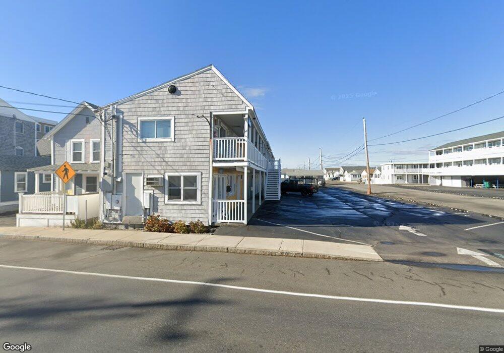
112 Ashworth Ave Hampton, NH 03842
Estimated Value: $4,148,821
20
Beds
20
Baths
15,886
Sq Ft
$261/Sq Ft
Est. Value
About This Home
This home is located at 112 Ashworth Ave, Hampton, NH 03842 and is currently priced at $4,148,821, approximately $261 per square foot. 112 Ashworth Ave is a home located in Rockingham County with nearby schools including Hampton Centre School, Adeline C. Marston Elementary School, and Hampton Academy.
Ownership History
Date
Name
Owned For
Owner Type
Purchase Details
Closed on
May 15, 2008
Sold by
Donovan Brian
Bought by
112 Ashworth Ave Rlty
Current Estimated Value
Home Financials for this Owner
Home Financials are based on the most recent Mortgage that was taken out on this home.
Original Mortgage
$1,320,000
Outstanding Balance
$829,813
Interest Rate
5.91%
Mortgage Type
Commercial
Create a Home Valuation Report for This Property
The Home Valuation Report is an in-depth analysis detailing your home's value as well as a comparison with similar homes in the area
Home Values in the Area
Average Home Value in this Area
Purchase History
| Date | Buyer | Sale Price | Title Company |
|---|---|---|---|
| 112 Ashworth Ave Rlty | $2,159,300 | -- |
Source: Public Records
Mortgage History
| Date | Status | Borrower | Loan Amount |
|---|---|---|---|
| Open | 112 Ashworth Ave Rlty | $867,000 | |
| Open | 112 Ashworth Ave Rlty | $1,320,000 |
Source: Public Records
Tax History Compared to Growth
Tax History
| Year | Tax Paid | Tax Assessment Tax Assessment Total Assessment is a certain percentage of the fair market value that is determined by local assessors to be the total taxable value of land and additions on the property. | Land | Improvement |
|---|---|---|---|---|
| 2024 | $21,874 | $1,775,500 | $706,700 | $1,068,800 |
| 2023 | $22,954 | $1,370,400 | $474,500 | $895,900 |
| 2022 | $21,707 | $1,370,400 | $474,500 | $895,900 |
| 2021 | $21,707 | $1,370,400 | $474,500 | $895,900 |
| 2020 | $21,267 | $1,335,000 | $474,500 | $860,500 |
| 2019 | $21,373 | $1,335,000 | $474,500 | $860,500 |
| 2018 | $20,935 | $1,230,000 | $456,100 | $773,900 |
| 2017 | $20,135 | $1,230,000 | $456,100 | $773,900 |
| 2016 | $19,778 | $1,230,000 | $456,100 | $773,900 |
Source: Public Records
Map
Nearby Homes
- 22 1/2 I St Unit 2
- 27 Hobson Ave
- 128 Ashworth Ave Unit 303
- 89 Ashworth Ave Unit 7
- 22 Perkins Ave
- 3 Perkins Ave Unit 1
- 19 F St
- 27 Perkins Ave
- 17 Johnson Ave
- 19 Riverview Terrace
- 10 Haverhill Ave Unit 1
- 10 Haverhill Ave Unit 2
- 5 Fellows Ave
- 3 Harris Ave
- 15 Ocean Blvd
- 13 Ocean Blvd
- 13-15 Ocean Blvd
- 10 Kentville Terrace
- 12 Kentville Terrace
- 190 Island Path
- 106 Ashworth Ave Unit 12
- 106 Ashworth Ave Unit 9
- 106 Ashworth Ave Unit 7
- 106 Ashworth Ave Unit 6
- 106 Ashworth Ave Unit 5
- 106 Ashworth Ave Unit 2
- 106 Ashworth Ave Unit 17
- 106 Ashworth Ave Unit 15
- 106 Ashworth Ave Unit 10
- 106 Ashworth Ave Unit 1
- 106 Ashworth Ave Unit 3
- 106 Ashworth Ave Unit 11
- 106 Ashworth Ave
- 106 Ashworth Ave Unit 13
- 106 Ashworth Ave Unit 8
- 106 Ashworth Ave Unit 4
- 8 Keefe Ave Unit 1
- 8 Keefe Ave Unit 8A
- 8 Keefe Ave Unit A
- 7 Keefe Ave