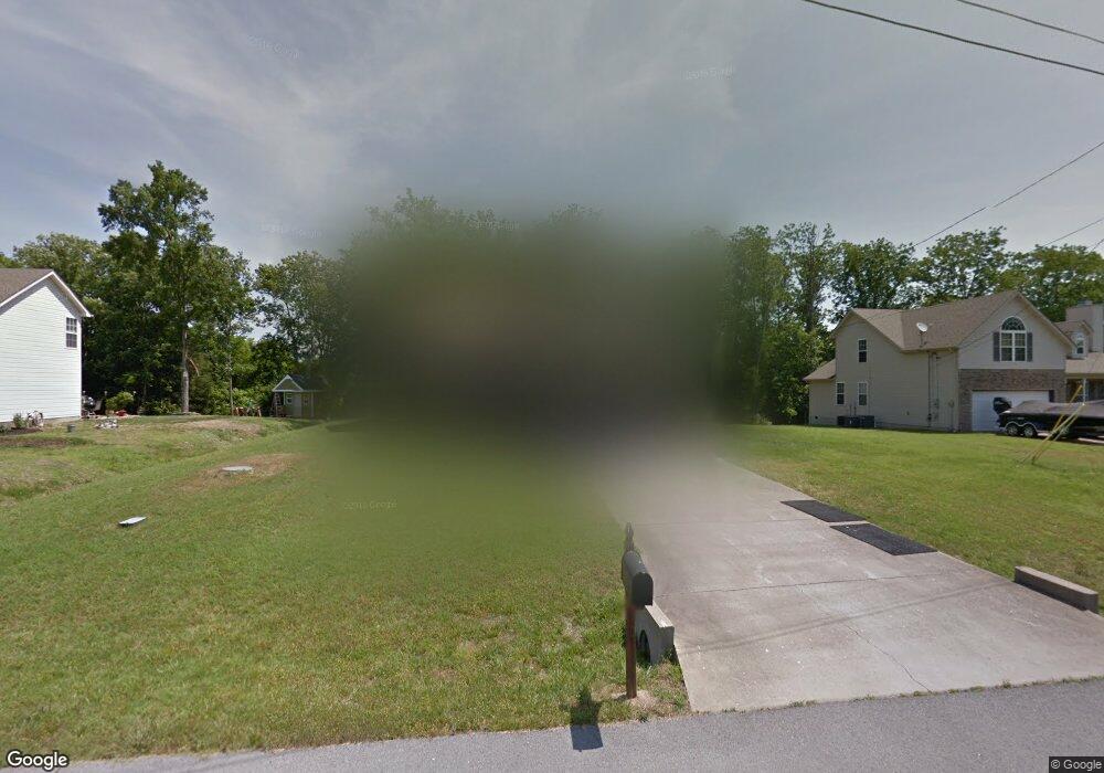
112 Bankside Dr Smyrna, TN 37167
Estimated Value: $362,234 - $443,000
--
Bed
--
Bath
1,710
Sq Ft
$233/Sq Ft
Est. Value
About This Home
This home is located at 112 Bankside Dr, Smyrna, TN 37167 and is currently estimated at $398,309, approximately $232 per square foot. 112 Bankside Dr is a home located in Rutherford County with nearby schools including Stewarts Creek Elementary School, Stewarts Creek Middle School, and Stewarts Creek High School.
Ownership History
Date
Name
Owned For
Owner Type
Purchase Details
Closed on
Aug 30, 2005
Sold by
Jerry Butler Builders Llc
Bought by
Hadley Gerald L and Hadley Sonya E
Current Estimated Value
Home Financials for this Owner
Home Financials are based on the most recent Mortgage that was taken out on this home.
Original Mortgage
$158,547
Outstanding Balance
$84,396
Interest Rate
5.77%
Estimated Equity
$313,913
Create a Home Valuation Report for This Property
The Home Valuation Report is an in-depth analysis detailing your home's value as well as a comparison with similar homes in the area
Home Values in the Area
Average Home Value in this Area
Purchase History
| Date | Buyer | Sale Price | Title Company |
|---|---|---|---|
| Hadley Gerald L | $159,800 | -- |
Source: Public Records
Mortgage History
| Date | Status | Borrower | Loan Amount |
|---|---|---|---|
| Open | Hadley Gerald L | $158,547 |
Source: Public Records
Tax History Compared to Growth
Tax History
| Year | Tax Paid | Tax Assessment Tax Assessment Total Assessment is a certain percentage of the fair market value that is determined by local assessors to be the total taxable value of land and additions on the property. | Land | Improvement |
|---|---|---|---|---|
| 2025 | $1,764 | $73,425 | $13,750 | $59,675 |
| 2024 | $1,764 | $73,425 | $13,750 | $59,675 |
| 2023 | $1,764 | $73,425 | $13,750 | $59,675 |
| 2022 | $1,573 | $73,425 | $13,750 | $59,675 |
| 2021 | $1,526 | $52,275 | $9,375 | $42,900 |
| 2020 | $1,526 | $52,275 | $9,375 | $42,900 |
| 2019 | $1,526 | $52,275 | $9,375 | $42,900 |
| 2018 | $1,463 | $52,275 | $0 | $0 |
| 2017 | $1,319 | $37,025 | $0 | $0 |
| 2016 | $1,319 | $37,025 | $0 | $0 |
| 2015 | $1,319 | $37,025 | $0 | $0 |
| 2014 | $916 | $37,025 | $0 | $0 |
| 2013 | -- | $37,025 | $0 | $0 |
Source: Public Records
Map
Nearby Homes
- 420 Multrees Place
- 425 Multrees Place
- 1014 Carnation Dr
- 907 Caywood Rd
- 903 Carnation Dr
- 654 Meadowlark Dr
- 1215 Westbourne Dr
- 806 Mill Tree Ct
- 802 Carnation Dr
- 1614 Shenstone Dr
- 708 Amberton Dr
- 364 Almont Dr
- 833 Clematis Dr
- 1401 Kennebec Dr
- 6313 Loudwater Ct
- 6208 Kenwyn Pass
- 6256 Kenwyn Pass
- 6209 Kenwyn Pass
- 907 Coral Bells Ct
- 520 Blue Olive Dr
- 108 Bankside Dr
- 116 Bankside Dr
- 120 Bankside Dr
- 104 Bankside Dr
- 100 Bankside Dr
- 124 Bankside Dr
- 123 Bankside Dr
- 128 Bankside Dr
- 127 Bankside Dr
- 132 Bankside Dr
- 409 Wabash Ct
- 131 Bankside Dr
- 306 Jericho St
- 413 Wabash Ct
- 202 Bankside Dr
- 208 Jericho St
- 208 Jericho St Unit 8
- 414 Wabash Ct
- 204 Jericho St
- 204 Jericho St Unit 7
