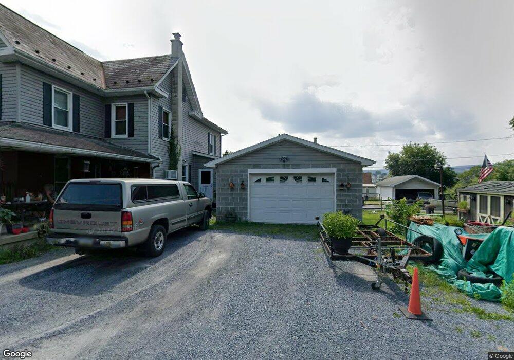
112 Circle Dr Lehighton, PA 18235
Estimated Value: $130,000 - $163,000
2
Beds
1
Bath
1,290
Sq Ft
$116/Sq Ft
Est. Value
About This Home
This home is located at 112 Circle Dr, Lehighton, PA 18235 and is currently estimated at $150,003, approximately $116 per square foot. 112 Circle Dr is a home located in Carbon County with nearby schools including Lehighton Area High School, Sts. Peter & Paul School, and Valley Ridge Academy.
Ownership History
Date
Name
Owned For
Owner Type
Purchase Details
Closed on
Dec 8, 2021
Sold by
Dsv Spv3 Llc
Bought by
Rhodes Elease C and Rhodes Scott Barry
Current Estimated Value
Purchase Details
Closed on
Jun 14, 2017
Sold by
Kaja Holdings 2 Llc
Bought by
Dsv Spv3 Llc
Purchase Details
Closed on
Nov 5, 2014
Sold by
Jpmorgan Chase Bank National Association
Bought by
Kaja Holdings 2 Llc
Purchase Details
Closed on
Jan 31, 2014
Sold by
Richards Thomas S and Richards Todd S
Bought by
Jpmorgan Chase Bank National Association
Purchase Details
Closed on
Jan 10, 2008
Sold by
Richards Thomas S
Bought by
Richards Thomas S and Richards Todd S
Home Financials for this Owner
Home Financials are based on the most recent Mortgage that was taken out on this home.
Original Mortgage
$83,448
Interest Rate
6.17%
Mortgage Type
FHA
Create a Home Valuation Report for This Property
The Home Valuation Report is an in-depth analysis detailing your home's value as well as a comparison with similar homes in the area
Home Values in the Area
Average Home Value in this Area
Purchase History
| Date | Buyer | Sale Price | Title Company |
|---|---|---|---|
| Rhodes Elease C | -- | None Available | |
| Dsv Spv3 Llc | $1,000 | Attorney | |
| Kaja Holdings 2 Llc | $10,803 | None Available | |
| Jpmorgan Chase Bank National Association | $2,833 | None Available | |
| Richards Thomas S | -- | None Available |
Source: Public Records
Mortgage History
| Date | Status | Borrower | Loan Amount |
|---|---|---|---|
| Previous Owner | Richards Thomas S | $83,448 |
Source: Public Records
Tax History Compared to Growth
Tax History
| Year | Tax Paid | Tax Assessment Tax Assessment Total Assessment is a certain percentage of the fair market value that is determined by local assessors to be the total taxable value of land and additions on the property. | Land | Improvement |
|---|---|---|---|---|
| 2025 | $1,904 | $24,850 | $6,250 | $18,600 |
| 2024 | $1,804 | $24,850 | $6,250 | $18,600 |
| 2023 | $1,786 | $24,850 | $6,250 | $18,600 |
| 2022 | $1,786 | $24,850 | $6,250 | $18,600 |
| 2021 | $1,689 | $24,850 | $6,250 | $18,600 |
| 2020 | $1,689 | $24,850 | $6,250 | $18,600 |
| 2019 | $1,614 | $24,850 | $6,250 | $18,600 |
| 2018 | $1,614 | $24,850 | $6,250 | $18,600 |
| 2017 | $1,614 | $24,850 | $6,250 | $18,600 |
| 2016 | -- | $24,850 | $6,250 | $18,600 |
| 2015 | -- | $24,850 | $6,250 | $18,600 |
| 2014 | -- | $24,850 | $6,250 | $18,600 |
Source: Public Records
Map
Nearby Homes
- 438 White St
- 201 Fairview St
- 361 Court St Unit REAR
- 361 Court St
- 0 Fairyland Rd Unit PM-136987
- 142 Bankway St
- 12 2nd Ave
- 236 S 2nd St
- 230 S 2nd St
- 193 S 4th St
- 193 S 4th St Unit 191-193
- 117 N 4th St
- 231 Coal St
- 215 N 4th St
- 522 Iron St
- 639 Iron St
- 344 Ochre St
- 230 Carbon St
- 410 S 8th St
- 600 N Harrity Rd
- 110 Circle Dr
- 125 State Rd
- 115 State Rd
- 109 State Rd
- 117 Circle Dr
- 111 Circle Dr
- 129 State Rd
- 131 State Rd
- 105 State Rd
- 101 Circle Dr
- 100 Court St
- Lot 5 Interchange Rd
- 139 State Rd
- 147 State Rd
- 1 Interchange Rd
- 112 Union Hill Rd
- 48 Maple Rd
- 59 Maple Rd
- 0 Lot A1-A7 Interchange Rd Unit 351730
- 0 Lot A1-A7 Interchange Rd Unit 404317