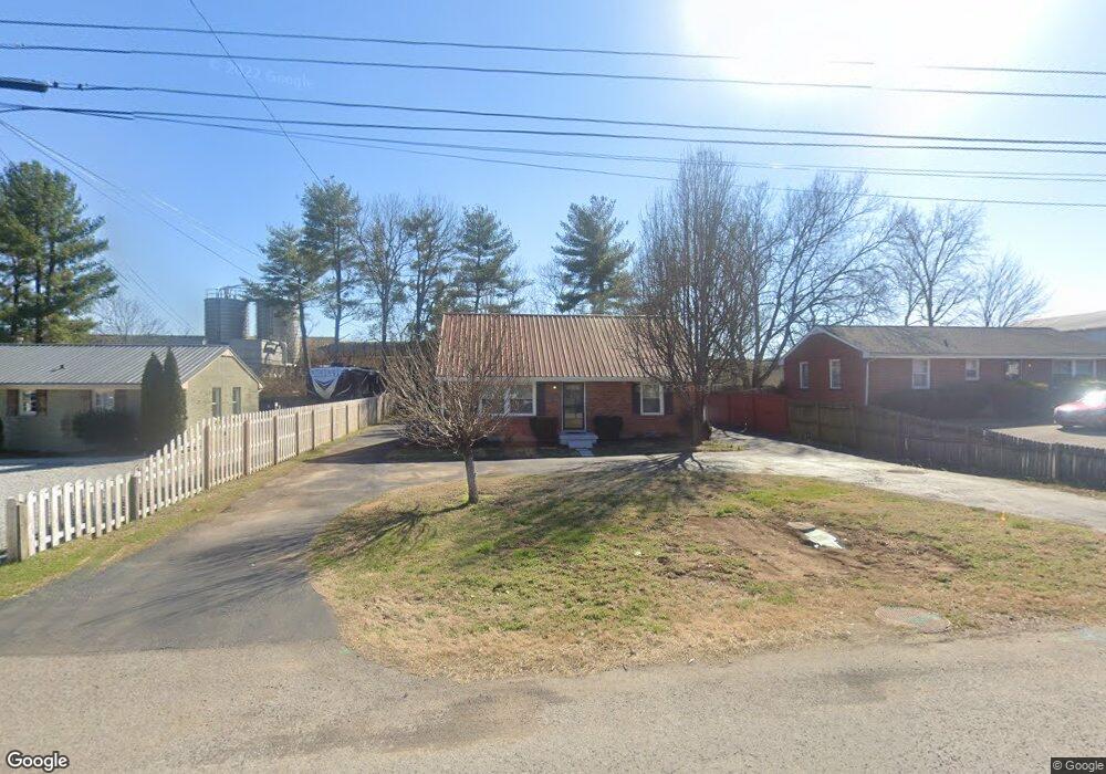
112 Confederate Dr Franklin, TN 37064
Southall NeighborhoodEstimated Value: $388,000 - $700,309
--
Bed
1
Bath
1,531
Sq Ft
$376/Sq Ft
Est. Value
About This Home
This home is located at 112 Confederate Dr, Franklin, TN 37064 and is currently estimated at $576,103, approximately $376 per square foot. 112 Confederate Dr is a home located in Williamson County with nearby schools including Franklin Elementary School, Freedom Intermediate School, and Freedom Middle School.
Ownership History
Date
Name
Owned For
Owner Type
Purchase Details
Closed on
Mar 13, 2020
Sold by
Beard Calvin and Beard Vanessa
Bought by
Battleground Properties Llc
Current Estimated Value
Home Financials for this Owner
Home Financials are based on the most recent Mortgage that was taken out on this home.
Original Mortgage
$340,000
Outstanding Balance
$233,697
Interest Rate
3.5%
Mortgage Type
Commercial
Estimated Equity
$342,406
Purchase Details
Closed on
Jan 27, 1997
Sold by
Beard Calvin
Bought by
Sun Construction Inc
Purchase Details
Closed on
Feb 7, 1996
Bought by
Beard Calvin
Create a Home Valuation Report for This Property
The Home Valuation Report is an in-depth analysis detailing your home's value as well as a comparison with similar homes in the area
Home Values in the Area
Average Home Value in this Area
Purchase History
| Date | Buyer | Sale Price | Title Company |
|---|---|---|---|
| Battleground Properties Llc | $419,000 | Heritage T&E Co Inc | |
| Sun Construction Inc | $42,500 | -- | |
| Beard Calvin | $62,600 | -- |
Source: Public Records
Mortgage History
| Date | Status | Borrower | Loan Amount |
|---|---|---|---|
| Open | Battleground Properties Llc | $340,000 |
Source: Public Records
Tax History Compared to Growth
Tax History
| Year | Tax Paid | Tax Assessment Tax Assessment Total Assessment is a certain percentage of the fair market value that is determined by local assessors to be the total taxable value of land and additions on the property. | Land | Improvement |
|---|---|---|---|---|
| 2025 | $3,114 | $261,575 | $225,000 | $36,575 |
| 2024 | $3,114 | $109,975 | $81,250 | $28,725 |
| 2023 | $2,993 | $109,975 | $81,250 | $28,725 |
| 2022 | $2,993 | $109,975 | $81,250 | $28,725 |
| 2021 | $2,993 | $109,975 | $81,250 | $28,725 |
| 2020 | $996 | $30,875 | $19,725 | $11,150 |
| 2019 | $996 | $30,875 | $19,725 | $11,150 |
| 2018 | $975 | $30,875 | $19,725 | $11,150 |
| 2017 | $959 | $30,875 | $19,725 | $11,150 |
| 2016 | $956 | $30,875 | $19,725 | $11,150 |
| 2015 | -- | $25,325 | $14,375 | $10,950 |
| 2014 | -- | $25,325 | $14,375 | $10,950 |
Source: Public Records
Map
Nearby Homes
- 219 Ribbon Ln
- 444 Herringbone Ct
- 207 Ribbon Ln
- 450 Herringbone Ct
- 456 Herringbone Ct
- 402 Herringbone Ct
- 468 Herringbone Ct
- 520 Herringbone Ct
- 514 Herringbone Ct
- 409 Herringbone Ct
- 508 Herringbone Ct
- 425 Herringbone Ct
- 437 Herringbone Ct
- 453 Herringbone Ct
- 200 James Ave
- 314 James Ave
- 1557 Kinnard Dr
- 108 Carolyn Ave
- 250 Sontag Dr
- 1408 Adams St
- 110 Confederate Dr
- 114 Confederate Dr
- 116 Confederate Dr
- 113 Confederate Dr
- 115 Confederate Dr
- 118 Confederate Dr
- 100 Confederate Dr
- 103 Confederate Dr Unit 1
- 106 Carr Ave
- 122 Confederate Dr
- 104 Carr Ave
- 104 Carr Ave Suite 7&8
- 1605 Columbia Ave
- 115 Carr Ave
- 1561 Columbia Ave
- 243 Ribbon Ln
- 237 Ribbon Ln
- 1715 Columbia Ave
- 231 Ribbon Ln
- 438 Herringbone Ct