Estimated Value: $243,378 - $334,000
4
Beds
2
Baths
2,470
Sq Ft
$118/Sq Ft
Est. Value
About This Home
This home is located at 112 Crow Rd, Dover, TN 37058 and is currently estimated at $291,845, approximately $118 per square foot. 112 Crow Rd is a home located in Stewart County with nearby schools including Dover Elementary School, Stewart County Middle School, and Stewart County High School.
Ownership History
Date
Name
Owned For
Owner Type
Purchase Details
Closed on
Jul 21, 2016
Sold by
Earhart Ryan W
Bought by
Earhart Ryan W and Earhart Derek W
Current Estimated Value
Purchase Details
Closed on
Jun 26, 2014
Sold by
Gordon Robert A
Bought by
Earhart Ryan W
Purchase Details
Closed on
Oct 3, 2005
Sold by
Not Provided
Bought by
Gordon Robert A
Home Financials for this Owner
Home Financials are based on the most recent Mortgage that was taken out on this home.
Original Mortgage
$135,500
Interest Rate
5.66%
Mortgage Type
VA
Purchase Details
Closed on
Nov 19, 2001
Bought by
Kryszak David J and Kryszak Kathy W
Purchase Details
Closed on
Jul 16, 1993
Bought by
Earhart Derek and Earhart Dana
Purchase Details
Closed on
Feb 13, 1993
Purchase Details
Closed on
Sep 18, 1990
Bought by
Bogard Ed
Create a Home Valuation Report for This Property
The Home Valuation Report is an in-depth analysis detailing your home's value as well as a comparison with similar homes in the area
Purchase History
| Date | Buyer | Sale Price | Title Company |
|---|---|---|---|
| Earhart Ryan W | -- | -- | |
| Earhart Ryan W | $130,600 | -- | |
| Gordon Robert A | $135,500 | -- | |
| Kryszak David J | $78,000 | -- | |
| Earhart Derek | $67,500 | -- | |
| -- | $4,500 | -- | |
| Bogard Ed | -- | -- |
Source: Public Records
Mortgage History
| Date | Status | Borrower | Loan Amount |
|---|---|---|---|
| Previous Owner | Gordon Robert A | $135,500 |
Source: Public Records
Tax History
| Year | Tax Paid | Tax Assessment Tax Assessment Total Assessment is a certain percentage of the fair market value that is determined by local assessors to be the total taxable value of land and additions on the property. | Land | Improvement |
|---|---|---|---|---|
| 2025 | $840 | $56,550 | $5,625 | $50,925 |
| 2024 | $840 | $56,550 | $5,625 | $50,925 |
| 2023 | $789 | $33,425 | $3,750 | $29,675 |
| 2022 | $789 | $33,425 | $3,750 | $29,675 |
| 2021 | $789 | $33,425 | $3,750 | $29,675 |
| 2020 | $837 | $33,425 | $3,750 | $29,675 |
| 2019 | $837 | $32,825 | $3,750 | $29,075 |
| 2018 | $837 | $32,825 | $3,750 | $29,075 |
| 2017 | $837 | $32,825 | $3,750 | $29,075 |
| 2016 | $837 | $32,825 | $3,750 | $29,075 |
| 2015 | $811 | $32,825 | $3,750 | $29,075 |
| 2014 | $912 | $32,825 | $3,750 | $29,075 |
| 2013 | $912 | $36,922 | $0 | $0 |
Source: Public Records
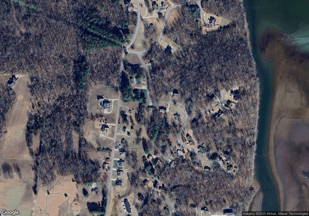
Map
Nearby Homes
- 118 Colson Rd
- 110 Colson Village Ct
- 1225 Spring St
- 225 Hickory Hill Dr
- 301 Wildlife Rd
- 1 Trin Hill Dr
- 2 Trin Hill Dr
- 254 Shane Lee Cir
- 270 Country Ln
- 54 Ridge Top Rd
- 241 Castle Ln
- 544 E Church St
- 419 Church St
- 250 Old Highway 79
- 232 Church St
- Donelson Pkwy Rt 79 and 232
- 105 General Rice St
- 1 Church St
- 105 Rose Dr
- 601 Anglin Ridge Rd
Your Personal Tour Guide
Ask me questions while you tour the home.