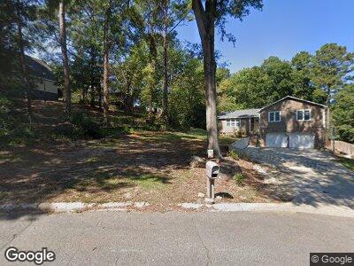
112 Dinton Ct Columbia, SC 29212
Northwest Columbia NeighborhoodEstimated Value: $220,000 - $244,000
3
Beds
2
Baths
1,770
Sq Ft
$134/Sq Ft
Est. Value
About This Home
This home is located at 112 Dinton Ct, Columbia, SC 29212 and is currently estimated at $236,830, approximately $133 per square foot. 112 Dinton Ct is a home located in Lexington County with nearby schools including Irmo Middle and Irmo High.
Ownership History
Date
Name
Owned For
Owner Type
Purchase Details
Closed on
May 4, 2022
Sold by
Webb Thomas
Bought by
Mcalhany Wesley Richard and Burnette Bethany Hope
Current Estimated Value
Home Financials for this Owner
Home Financials are based on the most recent Mortgage that was taken out on this home.
Original Mortgage
$164,800
Outstanding Balance
$149,794
Interest Rate
4.42%
Mortgage Type
Balloon
Estimated Equity
$100,097
Purchase Details
Closed on
Nov 6, 2016
Sold by
King Franklin S and King Michelle M
Bought by
Webb Thomas and Webb Michael
Purchase Details
Closed on
Feb 16, 2000
Sold by
Staples James W
Bought by
King Franklin S
Purchase Details
Closed on
Jan 27, 2000
Sold by
Hud
Bought by
Staples James W
Create a Home Valuation Report for This Property
The Home Valuation Report is an in-depth analysis detailing your home's value as well as a comparison with similar homes in the area
Home Values in the Area
Average Home Value in this Area
Purchase History
| Date | Buyer | Sale Price | Title Company |
|---|---|---|---|
| Mcalhany Wesley Richard | $206,000 | -- | |
| Webb Thomas | $102,700 | None Available | |
| King Franklin S | $89,900 | -- | |
| Staples James W | $75,500 | -- |
Source: Public Records
Mortgage History
| Date | Status | Borrower | Loan Amount |
|---|---|---|---|
| Open | Mcalhany Wesley Richard | $164,800 | |
| Previous Owner | Webb Thomas | $112,000 | |
| Previous Owner | King Michelle M | $131,537 | |
| Previous Owner | King Franklin S | $15,817 | |
| Previous Owner | King Franklin S | $127,890 |
Source: Public Records
Tax History Compared to Growth
Tax History
| Year | Tax Paid | Tax Assessment Tax Assessment Total Assessment is a certain percentage of the fair market value that is determined by local assessors to be the total taxable value of land and additions on the property. | Land | Improvement |
|---|---|---|---|---|
| 2024 | $1,263 | $8,240 | $1,200 | $7,040 |
| 2023 | $1,263 | $5,516 | $1,173 | $4,343 |
| 2020 | $2,096 | $4,980 | $1,800 | $3,180 |
| 2019 | $798 | $4,797 | $1,000 | $3,797 |
| 2018 | $701 | $4,797 | $1,000 | $3,797 |
| 2017 | $682 | $4,797 | $1,000 | $3,797 |
| 2016 | $701 | $4,796 | $1,000 | $3,796 |
| 2014 | $702 | $4,779 | $1,000 | $3,779 |
| 2013 | -- | $4,780 | $1,000 | $3,780 |
Source: Public Records
Map
Nearby Homes
- 525 Smiths Market Rd
- 110 Thornhill Rd
- 119 Bishopgate Rd
- 148 Rodborough Rd
- 111 Cannon Dale Ct
- 106 Guild Hall Dr
- 110 Melville Rd
- 184 Ripley Station Rd
- 101 Old Home Place
- 221 Canterfield Rd
- 264 Conrad Cir
- 111 Rusty Barn Rd
- 406 White Falls Dr
- 123 Stephenson Ln
- 329 Old Wood Dr
- 345 Old Wood Dr
- 338 Old Wood Dr
- 101 Stephenson Ln
- 112 Muirfield Dr
- 225 Doulton Way