Estimated Value: $408,000 - $485,000
2
Beds
2
Baths
989
Sq Ft
$443/Sq Ft
Est. Value
About This Home
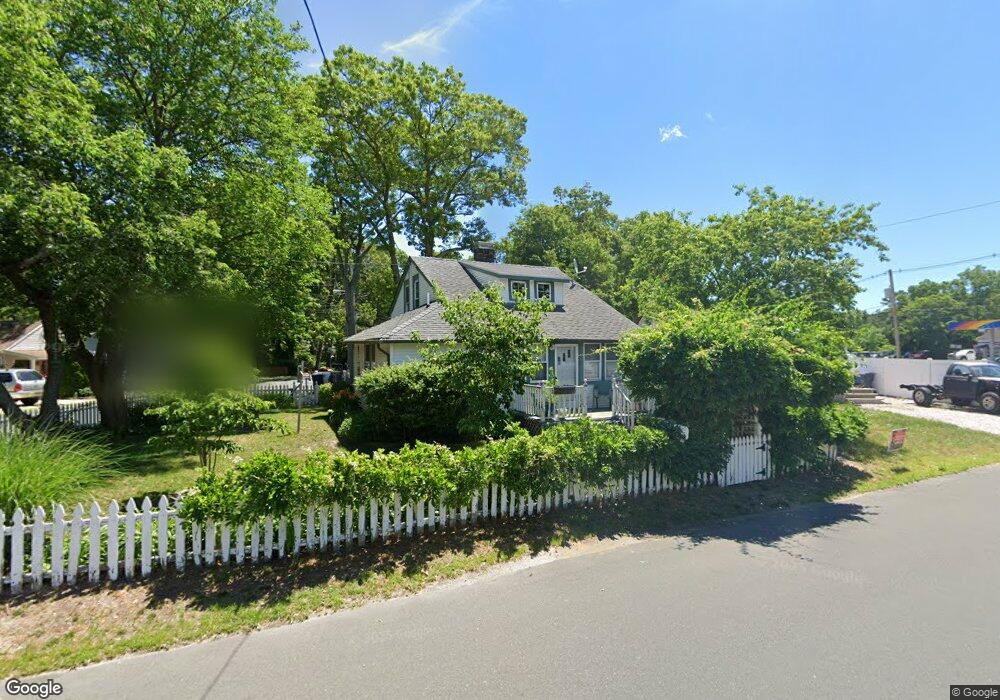
This home is located at 112 Dock Rd, Brick, NJ 08723 and is currently estimated at $438,541, approximately $443 per square foot. 112 Dock Rd is a home located in Ocean County with nearby schools including Emma Havens Young Elementary School, Lake Riviera Middle School, and Brick Township High School.
Ownership History
Date
Name
Owned For
Owner Type
Purchase Details
Closed on
Mar 10, 2010
Sold by
Steele Margaret L
Bought by
Durkin Richard Patrick and Durkin Judith
Current Estimated Value
Home Financials for this Owner
Home Financials are based on the most recent Mortgage that was taken out on this home.
Original Mortgage
$183,150
Outstanding Balance
$122,541
Interest Rate
5.25%
Mortgage Type
FHA
Estimated Equity
$316,000
Purchase Details
Closed on
Feb 28, 1997
Sold by
Toth Ernest
Bought by
Steele Margaret
Home Financials for this Owner
Home Financials are based on the most recent Mortgage that was taken out on this home.
Original Mortgage
$80,000
Interest Rate
7.77%
Mortgage Type
FHA
Create a Home Valuation Report for This Property
The Home Valuation Report is an in-depth analysis detailing your home's value as well as a comparison with similar homes in the area
Home Values in the Area
Average Home Value in this Area
Purchase History
| Date | Buyer | Sale Price | Title Company |
|---|---|---|---|
| Durkin Richard Patrick | $225,000 | None Available | |
| Steele Margaret | $80,000 | -- |
Source: Public Records
Mortgage History
| Date | Status | Borrower | Loan Amount |
|---|---|---|---|
| Open | Durkin Richard Patrick | $183,150 | |
| Previous Owner | Steele Margaret | $80,000 |
Source: Public Records
Tax History
| Year | Tax Paid | Tax Assessment Tax Assessment Total Assessment is a certain percentage of the fair market value that is determined by local assessors to be the total taxable value of land and additions on the property. | Land | Improvement |
|---|---|---|---|---|
| 2025 | $4,859 | $188,100 | $115,300 | $72,800 |
| 2024 | $4,618 | $188,100 | $115,300 | $72,800 |
Source: Public Records
Map
Nearby Homes
- 35 Hampton Rd
- 638 Ivanhoe Rd
- 4 Mayfair Ct
- 683 Mantoloking Rd
- 19 Moholo Ct Unit 19
- 592 Kingfisher Cir
- 580 Kingfisher Cir
- 578 Kingfisher Cir
- 11 Cedar Rd
- 458 E End Ave
- 307 Drum Point Rd
- 24 Unity Dr
- 9 Bayberry Ave
- 230 Drum Point Rd
- 3 Metedeconk Rd
- 299 Huppert Dr
- 23 Island Dr
- 0 Island Ct
- 10 Riverside Dr W
- 494 Manchester Ave
- 114 Dock Rd
- 14 Liverpool Rd
- 18 Liverpool Rd
- 9 Liverpool Rd
- 100 Dock Rd
- 113 Dock Rd
- 17 Liverpool Rd
- 644 Mantoloking Rd
- 16 Eaton Place
- 107 Dock Rd
- 20 Lancaster Rd
- 26 Lancaster Rd
- 26 Liverpool Rd
- 30 Lancaster Rd
- 29 Liverpool Rd
- 34 Lancaster Rd
- 91 Dock Rd
- 38 Lancaster Rd
- 34 Liverpool Rd
- 632 Mantoloking Rd
Your Personal Tour Guide
Ask me questions while you tour the home.