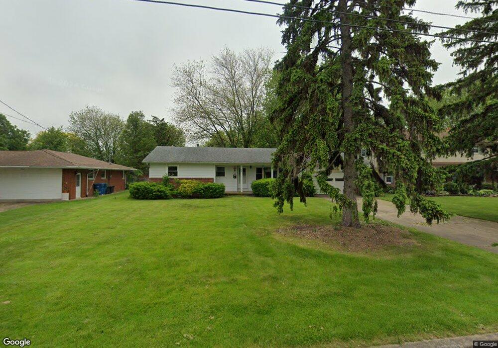
112 E 10th St Port Clinton, OH 43452
Estimated Value: $145,000 - $188,000
3
Beds
2
Baths
1,051
Sq Ft
$163/Sq Ft
Est. Value
About This Home
This home is located at 112 E 10th St, Port Clinton, OH 43452 and is currently estimated at $171,690, approximately $163 per square foot. 112 E 10th St is a home located in Ottawa County with nearby schools including Bataan Memorial Primary School, Bataan Memorial Intermediate School, and Port Clinton Middle School.
Ownership History
Date
Name
Owned For
Owner Type
Purchase Details
Closed on
Dec 6, 2025
Sold by
Johnson Jeffrey T and Johnson Colleen E
Bought by
Johnson Jeffrey T
Current Estimated Value
Home Financials for this Owner
Home Financials are based on the most recent Mortgage that was taken out on this home.
Original Mortgage
$147,334
Outstanding Balance
$147,334
Interest Rate
6.17%
Mortgage Type
FHA
Estimated Equity
$24,356
Purchase Details
Closed on
Mar 19, 2024
Sold by
Podgurski John A
Bought by
Johnson Jeffrey T and Johnson Colleen E
Home Financials for this Owner
Home Financials are based on the most recent Mortgage that was taken out on this home.
Original Mortgage
$100,000
Interest Rate
6.64%
Mortgage Type
New Conventional
Create a Home Valuation Report for This Property
The Home Valuation Report is an in-depth analysis detailing your home's value as well as a comparison with similar homes in the area
Home Values in the Area
Average Home Value in this Area
Purchase History
| Date | Buyer | Sale Price | Title Company |
|---|---|---|---|
| Johnson Jeffrey T | -- | Amt Title Services | |
| Johnson Jeffrey T | $125,000 | Tri Coast Title |
Source: Public Records
Mortgage History
| Date | Status | Borrower | Loan Amount |
|---|---|---|---|
| Open | Johnson Jeffrey T | $147,334 | |
| Previous Owner | Johnson Jeffrey T | $100,000 |
Source: Public Records
Tax History
| Year | Tax Paid | Tax Assessment Tax Assessment Total Assessment is a certain percentage of the fair market value that is determined by local assessors to be the total taxable value of land and additions on the property. | Land | Improvement |
|---|---|---|---|---|
| 2024 | $1,583 | $45,490 | $14,980 | $30,510 |
| 2023 | $1,236 | $43,351 | $9,982 | $33,369 |
| 2022 | $1,342 | $43,351 | $9,982 | $33,369 |
| 2021 | $1,341 | $43,350 | $9,980 | $33,370 |
| 2020 | $1,369 | $37,000 | $7,980 | $29,020 |
| 2019 | $1,355 | $37,000 | $7,980 | $29,020 |
| 2018 | $1,352 | $37,000 | $7,980 | $29,020 |
| 2017 | $1,327 | $35,730 | $7,980 | $27,750 |
| 2016 | $1,330 | $35,730 | $7,980 | $27,750 |
| 2015 | $1,335 | $35,730 | $7,980 | $27,750 |
| 2014 | $673 | $35,730 | $7,980 | $27,750 |
| 2013 | $1,349 | $35,730 | $7,980 | $27,750 |
Source: Public Records
Map
Nearby Homes
- 111 E 10th St
- 322 E 6th St
- 900 S Madison St
- 229 W 4th St
- 2593 N Peachtree Lane # Sublot 2
- 619 Alice St
- 713 Clinton St
- 415 Fremont Rd
- 614 Clinton St
- 413 W 3rd St
- 2621 N Peachtree Lane # Sublot 1
- 2453 N Peachtree Lane # Sublot 7
- 2481 N Peachtree Lane # Sublot 6
- 2565 N Peachtree Lane # Sublot 3
- 0 Mouse Island Unit 20252634
- 2369 N Peachtree Lane # Sublot 10
- 2397 N Peachtree Lane # Sublot 9
- 2509 N Peachtree Lane # Sublot 5
- 0 Mouse Island Unit 5139279
- 2425 N Peachtree Lane # Sublot 8
- 108 E 10th St
- 120 E 10th St
- 835 Madison St
- 104 E Tenth (10th) St
- 104 E 10th St
- 837 Madison St
- 1004 Jefferson St
- 115 E 10th St
- 1010 Jefferson St
- 119 E 10th St
- 839 Madison St
- 115 E 11th St
- 105 E 10th St
- 119 E 11th St
- 841 Madison St
- 1022 Jefferson St
- 830 Madison St
- 826 Madison St
- 832 Madison St
- 824 Madison St
Your Personal Tour Guide
Ask me questions while you tour the home.