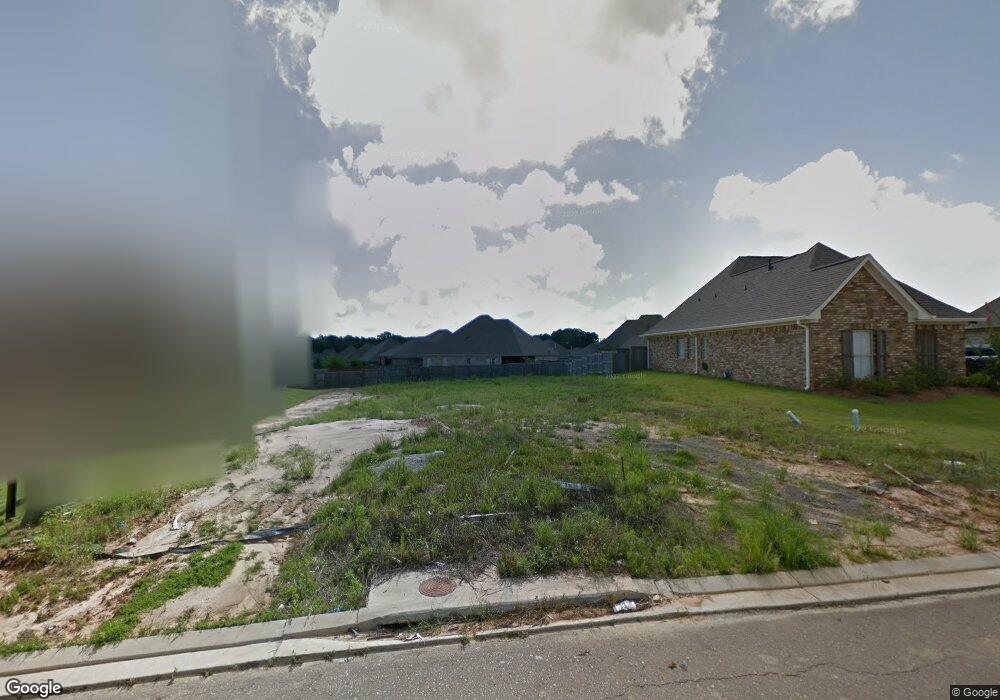
112 Emerald Dr Brandon, MS 39047
Estimated Value: $360,000 - $370,203
4
Beds
2
Baths
2,170
Sq Ft
$169/Sq Ft
Est. Value
About This Home
This home is located at 112 Emerald Dr, Brandon, MS 39047 and is currently estimated at $365,801, approximately $168 per square foot. 112 Emerald Dr is a home located in Rankin County with nearby schools including Highland Bluff Elementary School, Northwest Rankin Middle School, and Northwest Rankin High School.
Ownership History
Date
Name
Owned For
Owner Type
Purchase Details
Closed on
Apr 30, 2018
Sold by
Akins Randy W
Bought by
Cox David A and Walshock-Cox Kristin
Current Estimated Value
Purchase Details
Closed on
Nov 17, 2017
Sold by
Signature Homescope Llc
Bought by
Akins Randy William
Home Financials for this Owner
Home Financials are based on the most recent Mortgage that was taken out on this home.
Original Mortgage
$265,010
Interest Rate
3.75%
Mortgage Type
FHA
Purchase Details
Closed on
Oct 21, 2013
Bought by
Signature Homescape Llc
Create a Home Valuation Report for This Property
The Home Valuation Report is an in-depth analysis detailing your home's value as well as a comparison with similar homes in the area
Purchase History
| Date | Buyer | Sale Price | Title Company |
|---|---|---|---|
| Cox David A | -- | -- | |
| Akins Randy William | -- | None Available | |
| Signature Homescape Llc | -- | -- |
Source: Public Records
Mortgage History
| Date | Status | Borrower | Loan Amount |
|---|---|---|---|
| Previous Owner | Akins Randy William | $265,010 |
Source: Public Records
Tax History
| Year | Tax Paid | Tax Assessment Tax Assessment Total Assessment is a certain percentage of the fair market value that is determined by local assessors to be the total taxable value of land and additions on the property. | Land | Improvement |
|---|---|---|---|---|
| 2025 | $3,148 | $26,052 | $0 | $0 |
| 2024 | $2,996 | $26,052 | $0 | $0 |
| 2023 | $3,023 | $23,297 | $0 | $0 |
| 2022 | $2,988 | $23,297 | $0 | $0 |
| 2021 | $3,038 | $23,297 | $0 | $0 |
| 2020 | $3,063 | $23,297 | $0 | $0 |
| 2019 | $2,797 | $20,715 | $0 | $0 |
| 2018 | $2,398 | $20,715 | $0 | $0 |
| 2017 | $1,147 | $5,250 | $0 | $0 |
| 2016 | $1,121 | $5,250 | $0 | $0 |
| 2015 | $1,121 | $5,250 | $0 | $0 |
| 2014 | $1,015 | $5,250 | $0 | $0 |
Source: Public Records
Map
Nearby Homes
- 301 Siltstone Ridge
- 303 Siltstone Ridge
- 125 Emerald Dr
- 601 Emerald Ct
- 600 Bauxite Cove
- 613 Emerald Ct
- 123 Cumberland Rd
- 154 Cumberland Rd
- 1028 Honeysuckle Trail
- 735 Cotton Creek Trail
- 201 Greenfield Place
- 131 Bellegrove Cir
- 0 Grants Ferry Rd Unit Part 1
- 1 Brandy Village Cove
- 229 Greenfield Place
- 233 Greenfield Place
- 322 Millcreek Dr
- 300 Deer Hollow
- 109 Brandy Run Rd
- 118 Fairfax Cir Unit A
- 112 Emerald Dr
- 110 Emerald Dr
- 114 Emerald Dr
- 110 Emerald Dr
- 218 Emerald Cir
- 108 Emerald Dr
- 116 Emerald Dr
- 116 Emerald Dr
- 218 Emerald Cir
- 220 Emerald Cr
- 220 Emerald Cir
- 220 Emerald Cir
- 111 Emerald Dr
- 113 Emerald Dr
- 222 Emerald Cir
- 222 Emerald Cir
- 118 Emerald Dr
- 106 Emerald Dr
- 216 Emerald Cir
- 300 Emerald Way
Your Personal Tour Guide
Ask me questions while you tour the home.