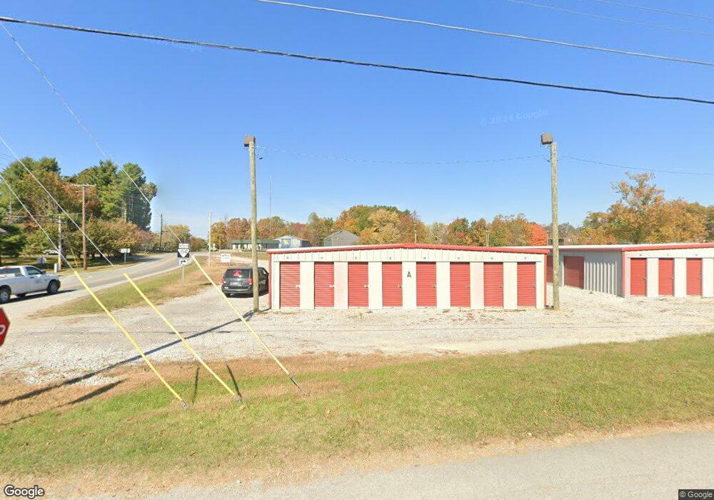
112 Enterprise Dr Jamestown, TN 38556
Estimated Value: $35,909 - $120,000
--
Bed
1
Bath
1,617
Sq Ft
$59/Sq Ft
Est. Value
About This Home
This home is located at 112 Enterprise Dr, Jamestown, TN 38556 and is currently estimated at $94,977, approximately $58 per square foot. 112 Enterprise Dr is a home located in Fentress County.
Ownership History
Date
Name
Owned For
Owner Type
Purchase Details
Closed on
Aug 14, 2019
Sold by
Ward Carolyn Joan
Bought by
Beaty Lumber Inc
Current Estimated Value
Purchase Details
Closed on
Apr 23, 2012
Sold by
Delk Lyle
Bought by
Larue Larue Joe Nelson Jo Blan Joe Nelson Jo Blan and Larue Joe Nelson Jo Blan
Purchase Details
Closed on
Mar 20, 2008
Bought by
Tennessee Wood Resources Llc
Home Financials for this Owner
Home Financials are based on the most recent Mortgage that was taken out on this home.
Original Mortgage
$25,000
Interest Rate
5.97%
Mortgage Type
Cash
Purchase Details
Closed on
Oct 24, 2002
Bought by
Walter Dimension Co
Create a Home Valuation Report for This Property
The Home Valuation Report is an in-depth analysis detailing your home's value as well as a comparison with similar homes in the area
Home Values in the Area
Average Home Value in this Area
Purchase History
| Date | Buyer | Sale Price | Title Company |
|---|---|---|---|
| Beaty Lumber Inc | $15,000 | None Available | |
| Larue Larue Joe Nelson Jo Blan Joe Nelson Jo Blan | -- | -- | |
| Tennessee Wood Resources Llc | $1,000,000 | -- | |
| Walter Dimension Co | $27,500 | -- |
Source: Public Records
Mortgage History
| Date | Status | Borrower | Loan Amount |
|---|---|---|---|
| Previous Owner | Walter Dimension Co | $25,000 |
Source: Public Records
Tax History Compared to Growth
Tax History
| Year | Tax Paid | Tax Assessment Tax Assessment Total Assessment is a certain percentage of the fair market value that is determined by local assessors to be the total taxable value of land and additions on the property. | Land | Improvement |
|---|---|---|---|---|
| 2025 | $103 | $7,625 | $0 | $0 |
| 2024 | $103 | $7,625 | $3,750 | $3,875 |
| 2023 | $103 | $7,625 | $3,750 | $3,875 |
| 2022 | $88 | $4,600 | $2,500 | $2,100 |
| 2021 | $88 | $4,600 | $2,500 | $2,100 |
| 2020 | $88 | $4,600 | $2,500 | $2,100 |
| 2019 | $88 | $4,600 | $2,500 | $2,100 |
| 2018 | $88 | $4,600 | $2,500 | $2,100 |
| 2017 | $83 | $4,200 | $2,500 | $1,700 |
| 2016 | $83 | $4,200 | $2,500 | $1,700 |
| 2015 | $83 | $4,189 | $0 | $0 |
| 2014 | $83 | $4,189 | $0 | $0 |
Source: Public Records
Map
Nearby Homes
- 0 N York Hwy
- 1041 Roysden Rd
- 150 Fw Tate Ln
- 1009 Roysden Rd
- 107 Billy Ridge Rd
- 2100 Old Wolf River Rd
- 0 Old Wolf River Rd
- 1100 N York Hwy
- 114 Ashley Rd
- 598 Ted Brooks Rd
- 121 Ashley Rd
- 0 Pickett Park Hwy Unit 1319738
- 0 Pickett Park Hwy Unit 1303598
- n/a Pickett Park Hwy
- 0 Pickett Park Hwy Unit 1296019
- 115 Copley Ave
- 501 Hill Rd
- 850 N York Hwy
- 000 Highway 154
- 865 N York Hwy
- 817 N York Hwy
- 127 N York Hwy
- 818 N York Hwy
- 901 N York Hwy
- 105 Myrtle Selby Rd
- 860 N York Hwy
- 1001 Pickett Park Hwy
- 177 AC N York Hwy
- 00 N York Hwy
- 814 N York Hwy
- 815 N York Hwy
- 1100 N North York Hwy
- 1.1 Acres N York Hwy
- 1019 Pickett Park Hwy
- 123 Myrtle Selby Rd
- 909 N York Hwy
- 105 Fw Tate Ln