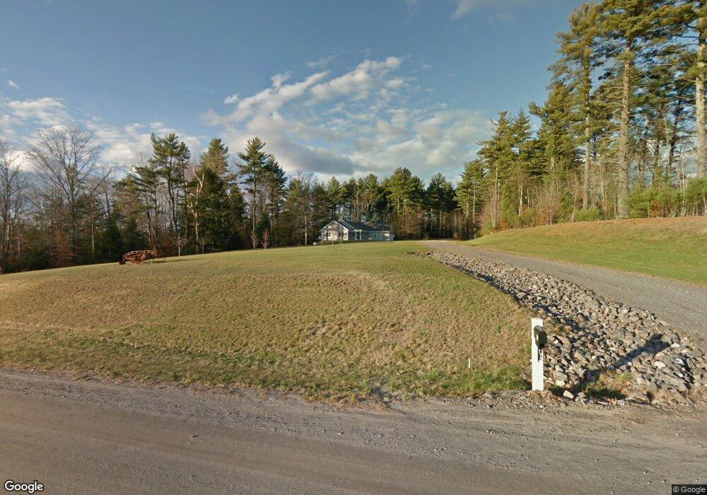
112 Farrington Rd Gorham, ME 04038
Estimated Value: $561,000 - $648,000
2
Beds
2
Baths
1,980
Sq Ft
$312/Sq Ft
Est. Value
About This Home
This home is located at 112 Farrington Rd, Gorham, ME 04038 and is currently estimated at $617,513, approximately $311 per square foot. 112 Farrington Rd is a home with nearby schools including Great Falls Elementary School, Gorham Middle School, and Gorham High School.
Create a Home Valuation Report for This Property
The Home Valuation Report is an in-depth analysis detailing your home's value as well as a comparison with similar homes in the area
Home Values in the Area
Average Home Value in this Area
Tax History
| Year | Tax Paid | Tax Assessment Tax Assessment Total Assessment is a certain percentage of the fair market value that is determined by local assessors to be the total taxable value of land and additions on the property. | Land | Improvement |
|---|---|---|---|---|
| 2025 | $8,380 | $566,200 | $145,900 | $420,300 |
| 2024 | $6,672 | $453,900 | $145,900 | $308,000 |
| 2023 | $6,241 | $453,900 | $145,900 | $308,000 |
| 2022 | $5,833 | $453,900 | $145,900 | $308,000 |
| 2021 | $5,259 | $271,100 | $105,000 | $166,100 |
| 2020 | $5,151 | $271,100 | $105,000 | $166,100 |
| 2019 | $5,137 | $271,100 | $105,000 | $166,100 |
| 2018 | $4,934 | $271,100 | $105,000 | $166,100 |
| 2017 | $4,636 | $271,100 | $105,000 | $166,100 |
| 2016 | $4,612 | $271,300 | $105,200 | $166,100 |
| 2015 | $4,109 | $252,100 | $86,000 | $166,100 |
| 2014 | $4,359 | $250,500 | $78,900 | $171,600 |
| 2013 | $1,365 | $78,900 | $78,900 | $0 |
Source: Public Records
Map
Nearby Homes
- 555 Fort Hill Rd
- 4 Musket Dr
- 16 Norway Rd
- 16 Daniel St
- 35 Rust Rd
- 116 Dingley Spring Rd
- 8 Martin Dr
- 696 Fort Hill Rd
- 697 Fort Hill Rd
- 761 Fort Hill Rd
- 42 Brandons Way
- 866 Parker Farm Lot B Rd
- 866 Parker Farm Lot A Rd
- 866 Parker Farm Rd Unit A
- 866 Parker Farm Rd Unit B
- 46 Sebago Lake Rd
- 68 Woodbrey Ln
- 182 Falcon Crest Dr Unit 56
- LOT #34 Woodbrey Ln
- 188 Falcon Crest Dr Unit 58
Your Personal Tour Guide
Ask me questions while you tour the home.