112 Forest Shore Dr Semora, NC 27343
Estimated Value: $984,593 - $1,196,000
3
Beds
3
Baths
3,028
Sq Ft
$367/Sq Ft
Est. Value
About This Home
This home is located at 112 Forest Shore Dr, Semora, NC 27343 and is currently estimated at $1,111,198, approximately $366 per square foot. 112 Forest Shore Dr is a home with nearby schools including Person High School.
Ownership History
Date
Name
Owned For
Owner Type
Purchase Details
Closed on
Feb 23, 2018
Sold by
Powell Joel W and Powell Susan Coble
Bought by
Powell Joel W and Powell Susan Coble
Current Estimated Value
Purchase Details
Closed on
May 10, 2006
Sold by
Powell Roberta G
Bought by
Powell Joel W
Home Financials for this Owner
Home Financials are based on the most recent Mortgage that was taken out on this home.
Original Mortgage
$200,000
Interest Rate
6.33%
Mortgage Type
Purchase Money Mortgage
Create a Home Valuation Report for This Property
The Home Valuation Report is an in-depth analysis detailing your home's value as well as a comparison with similar homes in the area
Purchase History
| Date | Buyer | Sale Price | Title Company |
|---|---|---|---|
| Powell Joel W | -- | None Available | |
| Powell Joel W | -- | -- |
Source: Public Records
Mortgage History
| Date | Status | Borrower | Loan Amount |
|---|---|---|---|
| Previous Owner | Powell Joel W | $200,000 |
Source: Public Records
Tax History
| Year | Tax Paid | Tax Assessment Tax Assessment Total Assessment is a certain percentage of the fair market value that is determined by local assessors to be the total taxable value of land and additions on the property. | Land | Improvement |
|---|---|---|---|---|
| 2025 | $6,468 | $909,044 | $0 | $0 |
| 2024 | $5,382 | $636,945 | $0 | $0 |
| 2023 | $5,223 | $612,224 | $0 | $0 |
| 2022 | $5,206 | $612,224 | $0 | $0 |
| 2021 | $5,107 | $612,224 | $0 | $0 |
| 2020 | $4,390 | $560,096 | $0 | $0 |
| 2019 | $4,174 | $528,626 | $0 | $0 |
| 2018 | $3,910 | $528,626 | $0 | $0 |
| 2017 | $3,861 | $528,607 | $0 | $0 |
| 2016 | $3,897 | $528,607 | $0 | $0 |
| 2015 | $3,912 | $528,607 | $0 | $0 |
| 2014 | $3,923 | $528,607 | $0 | $0 |
Source: Public Records
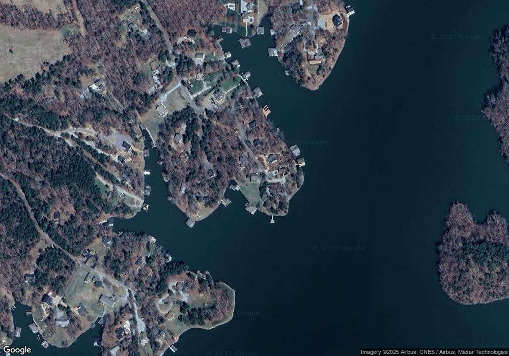
Map
Nearby Homes
- 594 Beaver Dam Rd
- 454 Southpoint Trail
- Tbd Quail Roost Dr
- 350 Fox Lair Trail
- 232 Hardy Hollow Rd
- 154 Spinnaker Ln
- 471 Pinesborough Estates Rd
- 28 Greenway Dr
- 431 Estate Rd
- 117 N Stillwood Ln
- 19 Whitetail Ln
- 785 Glennie Irvin Rd
- 1050 Crystal Forest Dr
- 00 Scott Rd
- 935 Estate Rd
- 976 Estate Rd
- Lot #6 Deer Meadow Rd
- Lot #7A Deer Meadow Rd
- Lot 26 Peninsula Dr
- Lot 25 Peninsula Dr
- 102 Forest Shore Dr
- 123 Forest Shore Dr
- 115 Forest Shore Dr
- 85 Forest Shore Dr
- 115 Forrest Shores
- 63 Forest Shore Dr
- 680 Beaver Dam Rd
- 663 Beaver Dam Rd
- 676 Beaver Dam Rd
- 624 Beaver Dam Rd
- 37 Forest Shore Dr
- 27 Forest Shore Dr
- 562 Beaver Dam Rd
- 569 Beaver Dam Rd
- 136 Audobon Dr
- 811 Coon Ridge Trail
- 515 Beaver Dam Rd
- 123 Audobon Dr
- 105 Audobon Dr
- 491 S Point Trail
Your Personal Tour Guide
Ask me questions while you tour the home.