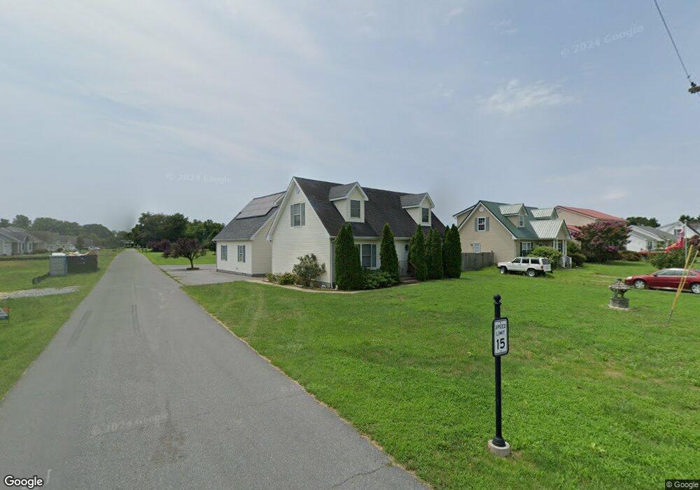
112 High St Bethel, DE 19931
Estimated Value: $125,967 - $386,000
4
Beds
2
Baths
1,820
Sq Ft
$162/Sq Ft
Est. Value
About This Home
This home is located at 112 High St, Bethel, DE 19931 and is currently estimated at $294,742, approximately $161 per square foot. 112 High St is a home located in Sussex County with nearby schools including North Laurel Elementary School, Laurel Elementary School, and Laurel Intermediate Middle School.
Ownership History
Date
Name
Owned For
Owner Type
Purchase Details
Closed on
Jun 19, 2020
Sold by
Andrews Dale L and Andrews Crystal R
Bought by
Andrews Dale L
Current Estimated Value
Purchase Details
Closed on
Mar 31, 2011
Bought by
Andrews Dale L Crystal R Andrews
Purchase Details
Closed on
Feb 2, 2011
Bought by
Andrews Dale L Crystal R Andrews
Create a Home Valuation Report for This Property
The Home Valuation Report is an in-depth analysis detailing your home's value as well as a comparison with similar homes in the area
Home Values in the Area
Average Home Value in this Area
Purchase History
| Date | Buyer | Sale Price | Title Company |
|---|---|---|---|
| Andrews Dale L | -- | None Available | |
| Andrews Dale L Crystal R Andrews | $144,500 | -- | |
| Andrews Dale L Crystal R Andrews | $144,500 | -- |
Source: Public Records
Tax History Compared to Growth
Tax History
| Year | Tax Paid | Tax Assessment Tax Assessment Total Assessment is a certain percentage of the fair market value that is determined by local assessors to be the total taxable value of land and additions on the property. | Land | Improvement |
|---|---|---|---|---|
| 2025 | $977 | $13,500 | $1,500 | $12,000 |
| 2024 | $710 | $13,500 | $1,500 | $12,000 |
| 2023 | $808 | $13,500 | $1,500 | $12,000 |
| 2022 | $703 | $13,500 | $1,500 | $12,000 |
| 2021 | $697 | $13,500 | $1,500 | $12,000 |
| 2020 | $738 | $13,500 | $1,500 | $12,000 |
| 2019 | $741 | $13,500 | $1,500 | $12,000 |
| 2018 | $805 | $13,500 | $0 | $0 |
| 2017 | $781 | $13,500 | $0 | $0 |
| 2016 | $828 | $13,500 | $0 | $0 |
| 2015 | $721 | $13,500 | $0 | $0 |
| 2014 | $644 | $13,500 | $0 | $0 |
Source: Public Records
Map
Nearby Homes
- Lot C Sailors Path
- 509 Vine St
- 7857 Holly Branch Dr
- Drake Plan at Cypress Pointe
- Jerry Plan at Cypress Pointe
- Whatley Plan at Cypress Pointe
- Peterman II Plan at Cypress Pointe
- Brenner Plan at Cypress Pointe
- Reston Plan at Cypress Pointe
- Cartwright Plan at Cypress Pointe
- Lloyd Plan at Cypress Pointe
- Elaine Plan at Cypress Pointe
- Frank Plan at Cypress Pointe
- Nelson Plan at Cypress Pointe
- Kramer Plan at Cypress Pointe
- 8525 Portsville Rd
- 0
- 8617 Portsville Rd
- 8807 Woodland Ferry Rd
- 30738 Old Sailors Rd
- 110 High St
- lot1 High St
- Lot 6 School Rd
- 108 High St
- 120 High St
- 106 High St Unit 4
- 122 High St
- 104 High St
- 210 School Rd
- 210 School Rd Unit Lot 13
- 124 High St Unit 6S
- 102 High St
- 213 School Rd
- 0 School Rd Unit 13 1001166052
- 0 School Rd Unit 1001160778
- 0 School Rd Unit 1001153920
- 0 School Rd Unit 1001066170
- 0 School Rd Unit 1001012620
- 212 School Rd Unit 11
- 126 High St