Estimated Value: $138,000 - $177,730
6
Beds
1
Bath
2,814
Sq Ft
$56/Sq Ft
Est. Value
About This Home
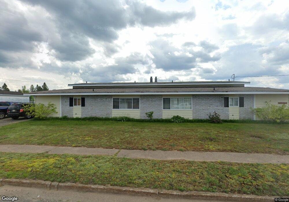
This home is located at 112 Lancer St Unit 114, Gwinn, MI 49841 and is currently estimated at $157,577, approximately $55 per square foot. 112 Lancer St Unit 114 is a home located in Marquette County with nearby schools including K.I. Sawyer Elementary School and Gwinn Middle/High School.
Ownership History
Date
Name
Owned For
Owner Type
Purchase Details
Closed on
Nov 7, 2023
Sold by
Morford William and Morford Kathleen
Bought by
Mesraje David
Current Estimated Value
Home Financials for this Owner
Home Financials are based on the most recent Mortgage that was taken out on this home.
Original Mortgage
$106,400
Outstanding Balance
$99,018
Interest Rate
7.79%
Mortgage Type
New Conventional
Estimated Equity
$58,559
Purchase Details
Closed on
Jul 23, 2014
Bought by
Morford Ii William and Morford Kathleen
Create a Home Valuation Report for This Property
The Home Valuation Report is an in-depth analysis detailing your home's value as well as a comparison with similar homes in the area
Home Values in the Area
Average Home Value in this Area
Purchase History
| Date | Buyer | Sale Price | Title Company |
|---|---|---|---|
| Mesraje David | $133,000 | None Listed On Document | |
| Morford Ii William | $45,000 | -- |
Source: Public Records
Mortgage History
| Date | Status | Borrower | Loan Amount |
|---|---|---|---|
| Open | Mesraje David | $106,400 |
Source: Public Records
Tax History Compared to Growth
Tax History
| Year | Tax Paid | Tax Assessment Tax Assessment Total Assessment is a certain percentage of the fair market value that is determined by local assessors to be the total taxable value of land and additions on the property. | Land | Improvement |
|---|---|---|---|---|
| 2025 | $10 | $79,300 | $0 | $0 |
| 2024 | $10 | $63,600 | $0 | $0 |
| 2023 | $361 | $40,700 | $0 | $0 |
| 2022 | $1,127 | $31,000 | $0 | $0 |
| 2021 | $1,092 | $35,600 | $0 | $0 |
| 2020 | $1,076 | $31,000 | $0 | $0 |
| 2019 | $1,029 | $25,200 | $0 | $0 |
| 2018 | $1,003 | $20,850 | $0 | $0 |
| 2017 | $957 | $20,850 | $0 | $0 |
| 2016 | $766 | $20,400 | $0 | $0 |
| 2015 | -- | $20,400 | $0 | $0 |
| 2014 | -- | $20,700 | $0 | $0 |
| 2012 | -- | $22,100 | $0 | $0 |
Source: Public Records
Map
Nearby Homes
- 117 Provider St
- 102 Caribou St
- 317 319 Skybolt St
- 136 Crusader Ave
- TBD E Martin Lake Rd
- TBD E Provost Lake Rd
- 1591 Millyard Rd
- 1687 E M35
- 1681 E M35
- 1400 Setter Rd
- 115 N Marshall Dr
- 1882 1st St
- 171 E Sands St
- 148 E Sands St
- 115 N M553
- TBD Co Rd Eeb Pohlman Rd
- 215 Driftwood Dr
- 71 E Stephenson Ave
- TBD Ln
- Lot F Maple Wood Ln
- 112 and 114 Lancer
- 109 Destroyer St Unit 111
- 105 Destroyer St Unit 107
- 116 Lancer St Unit 118
- 108 Lancer St Unit 110
- 113 Destroyer St
- 111 Lancer St Unit 113
- 104 Lancer St Unit 106
- 101 Tarzon St
- 101/103 Lancer
- 105 Tarzon St
- 108 Lancer St
- 101 Lancer St Unit 103
- 115 Lancer St Unit 117
- 101 Destroyer St
- 112 Destroyer St Unit 114
- 104 Destroyer St Unit 106
- 100 Destroyer St Unit 102
- 104 Destroyer St
- 105 Destroyer St