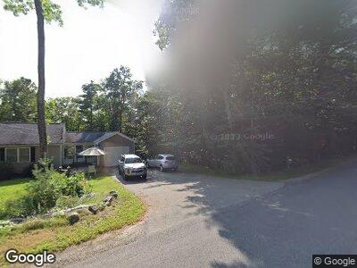
112 Libby Rd Litchfield, ME 04350
Estimated Value: $294,000 - $449,000
3
Beds
2
Baths
1,400
Sq Ft
$258/Sq Ft
Est. Value
About This Home
This home is located at 112 Libby Rd, Litchfield, ME 04350 and is currently estimated at $361,332, approximately $258 per square foot. 112 Libby Rd is a home located in Kennebec County with nearby schools including Libby-Tozier School, Sabattus Primary School, and Carrie Ricker School.
Ownership History
Date
Name
Owned For
Owner Type
Purchase Details
Closed on
May 8, 2019
Sold by
Aronson Joanne and Aronson John H
Bought by
Martinson Bruce W and Martinson Dorothy D
Current Estimated Value
Home Financials for this Owner
Home Financials are based on the most recent Mortgage that was taken out on this home.
Original Mortgage
$208,550
Outstanding Balance
$186,034
Interest Rate
4%
Mortgage Type
New Conventional
Estimated Equity
$220,959
Create a Home Valuation Report for This Property
The Home Valuation Report is an in-depth analysis detailing your home's value as well as a comparison with similar homes in the area
Home Values in the Area
Average Home Value in this Area
Purchase History
| Date | Buyer | Sale Price | Title Company |
|---|---|---|---|
| Martinson Bruce W | -- | -- |
Source: Public Records
Mortgage History
| Date | Status | Borrower | Loan Amount |
|---|---|---|---|
| Open | Martinson Bruce W | $50,000 | |
| Open | Martinson Bruce W | $208,550 | |
| Previous Owner | Aronson John H | $22,000 |
Source: Public Records
Tax History Compared to Growth
Tax History
| Year | Tax Paid | Tax Assessment Tax Assessment Total Assessment is a certain percentage of the fair market value that is determined by local assessors to be the total taxable value of land and additions on the property. | Land | Improvement |
|---|---|---|---|---|
| 2024 | $3,535 | $248,100 | $58,000 | $190,100 |
| 2023 | $3,349 | $248,100 | $58,000 | $190,100 |
| 2022 | $3,251 | $206,800 | $48,300 | $158,500 |
| 2021 | $2,922 | $206,800 | $48,300 | $158,500 |
| 2020 | $2,937 | $206,800 | $48,300 | $158,500 |
| 2019 | $3,629 | $259,200 | $84,600 | $174,600 |
| 2018 | $3,694 | $228,737 | $82,000 | $146,737 |
| 2017 | $3,702 | $229,238 | $82,000 | $147,238 |
| 2016 | $3,720 | $230,335 | $82,000 | $148,335 |
| 2015 | $3,589 | $230,834 | $82,000 | $148,834 |
| 2014 | $3,309 | $232,202 | $82,000 | $150,202 |
| 2013 | $2,859 | $232,432 | $82,000 | $150,432 |
Source: Public Records
Map
Nearby Homes
- 20 Lucien Ln
- 75 Grant Rd
- 0 Rd Unit 1590643
- 2793 Hallowell Rd
- 0 Route 9-126 Litchfield Dr Unit 1604469
- Lot 13A Ridley Ln
- 1-70 Maine 197
- 51 Forest Ln
- 69 Scott Dr
- 64 Ferrin Rd
- 57 Nutting Ln
- 47 Fickett Dr
- 0 Academy Rd Unit 1502594
- 17 Brookwood Ln
- 30 Pamrok Ln
- 86-A Kenway Dr
- 543 Dead River Rd
- 18 Garland Lane Extension
- 12 Cattail Ln
- 0 Pleasant Ridge Ln