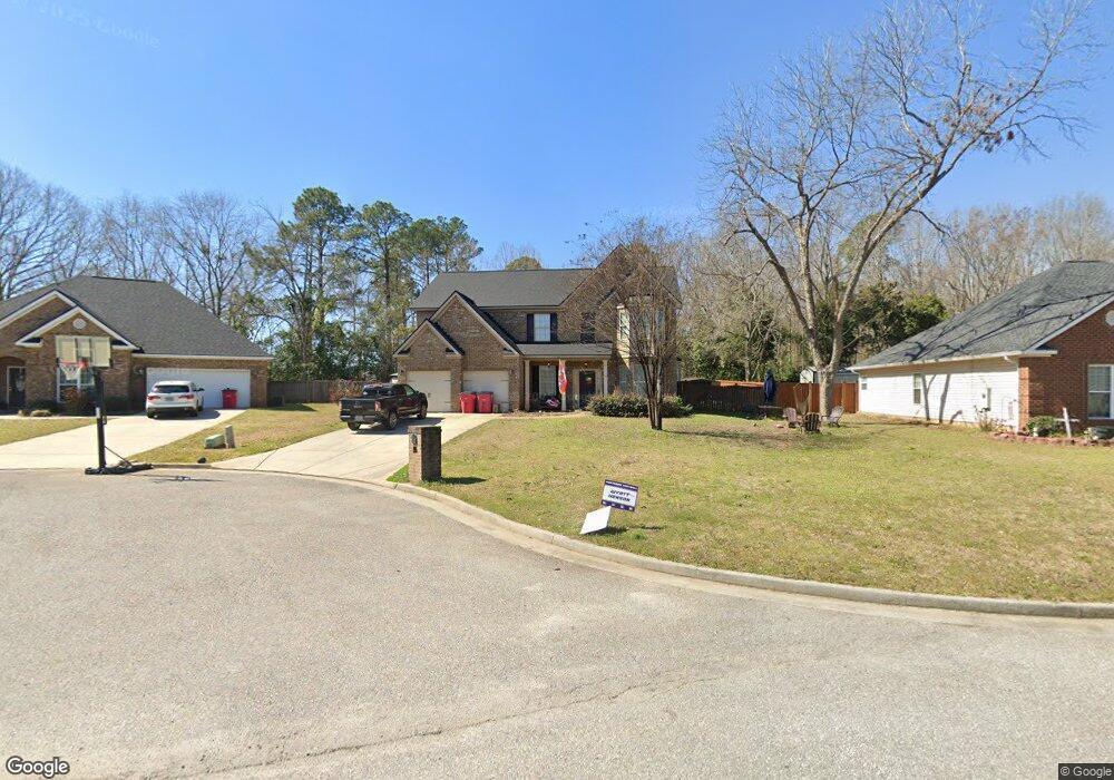
112 Limestone Trail Warner Robins, GA 31093
Estimated Value: $318,000 - $378,000
4
Beds
3
Baths
2,791
Sq Ft
$121/Sq Ft
Est. Value
About This Home
This home is located at 112 Limestone Trail, Warner Robins, GA 31093 and is currently estimated at $339,002, approximately $121 per square foot. 112 Limestone Trail is a home located in Houston County with nearby schools including Centerville Elementary School, Thomson Middle School, and Northside High School.
Ownership History
Date
Name
Owned For
Owner Type
Purchase Details
Closed on
Sep 15, 2011
Sold by
D R Horton Inc
Bought by
Henson Lance Michael
Current Estimated Value
Home Financials for this Owner
Home Financials are based on the most recent Mortgage that was taken out on this home.
Original Mortgage
$177,741
Outstanding Balance
$120,189
Interest Rate
4.38%
Mortgage Type
VA
Estimated Equity
$218,813
Create a Home Valuation Report for This Property
The Home Valuation Report is an in-depth analysis detailing your home's value as well as a comparison with similar homes in the area
Home Values in the Area
Average Home Value in this Area
Purchase History
| Date | Buyer | Sale Price | Title Company |
|---|---|---|---|
| Henson Lance Michael | $174,000 | None Available |
Source: Public Records
Mortgage History
| Date | Status | Borrower | Loan Amount |
|---|---|---|---|
| Open | Henson Lance Michael | $177,741 |
Source: Public Records
Tax History
| Year | Tax Paid | Tax Assessment Tax Assessment Total Assessment is a certain percentage of the fair market value that is determined by local assessors to be the total taxable value of land and additions on the property. | Land | Improvement |
|---|---|---|---|---|
| 2025 | $3,349 | $115,200 | $10,000 | $105,200 |
| 2024 | $3,721 | $107,280 | $10,000 | $97,280 |
| 2023 | $3,603 | $103,120 | $10,000 | $93,120 |
| 2022 | $1,948 | $84,720 | $8,000 | $76,720 |
| 2021 | $1,697 | $73,400 | $7,000 | $66,400 |
| 2020 | $1,702 | $73,280 | $7,000 | $66,280 |
| 2019 | $1,702 | $73,280 | $7,000 | $66,280 |
| 2018 | $1,702 | $73,280 | $7,000 | $66,280 |
| 2017 | $1,654 | $71,120 | $7,000 | $64,120 |
| 2016 | $1,656 | $71,120 | $7,000 | $64,120 |
| 2015 | $1,660 | $71,120 | $7,000 | $64,120 |
| 2014 | -- | $70,160 | $9,800 | $60,360 |
| 2013 | -- | $70,160 | $9,800 | $60,360 |
Source: Public Records
Map
Nearby Homes
- 104 Sourwood Ln
- 101 Kent Dr
- 116 Majestic Trail
- 207 Cambridge Dr
- 175 Arbor Creek
- 123 Logan's Mill Trail
- 918 Collins Ave Unit 36
- 805 N Houston Lake Blvd
- 4001 U S 41 Unit LOT 65
- 118 Ridgewood Dr
- 223 River Birch Way
- 113 Calpurnia St
- 205 River Birch Way
- 106 Winged Elm Grove
- 204 S Cambridge Dr
- 305 Brantley Rd Unit 14
- 305 Brantley Rd Unit 37
- 305 Brantley Rd Unit 6
- 222 Ridgewood Dr
- 308 Air View Dr Unit 5
- 110 Limestone Trail
- 114 Limestone Trail
- 116 Limestone Trail
- 108 Limestone Trail
- 111 Limestone Trail
- 109 Limestone Trail
- 118 Limestone Trail
- 106 Limestone Trail
- 107 Limestone Trail
- 120 Limestone Trail
- 121 Limestone Trail
- 104 Limestone Trail
- 105 Limestone Trail
- 103 Clay Stone Ct
- 122 Limestone Trail
- 103 Limestone Trail
- 103 Limestone Trail Unit LOT 1
- 102 Limestone Trail
- 123 Limestone Trail
- 105 Clay Stone Ct
Your Personal Tour Guide
Ask me questions while you tour the home.