112 Lunt's Hill Rd Litchfield, ME 04350
Estimated Value: $374,999 - $505,000
3
Beds
2
Baths
2,474
Sq Ft
$174/Sq Ft
Est. Value
About This Home
This home is located at 112 Lunt's Hill Rd, Litchfield, ME 04350 and is currently estimated at $429,333, approximately $173 per square foot. 112 Lunt's Hill Rd is a home located in Kennebec County with nearby schools including Libby-Tozier School, Sabattus Primary School, and Carrie Ricker School.
Ownership History
Date
Name
Owned For
Owner Type
Purchase Details
Closed on
Oct 18, 2019
Sold by
Pfeffer Mary B
Bought by
Polhemus John W and Polhemus Mercy R
Current Estimated Value
Home Financials for this Owner
Home Financials are based on the most recent Mortgage that was taken out on this home.
Original Mortgage
$157,950
Outstanding Balance
$138,087
Interest Rate
3.4%
Mortgage Type
New Conventional
Estimated Equity
$291,246
Purchase Details
Closed on
Apr 17, 2007
Sold by
Gardiner Saving Inst Fsb
Bought by
Pfeffer Mary B
Create a Home Valuation Report for This Property
The Home Valuation Report is an in-depth analysis detailing your home's value as well as a comparison with similar homes in the area
Home Values in the Area
Average Home Value in this Area
Purchase History
| Date | Buyer | Sale Price | Title Company |
|---|---|---|---|
| Polhemus John W | -- | -- | |
| Pfeffer Mary B | -- | -- |
Source: Public Records
Mortgage History
| Date | Status | Borrower | Loan Amount |
|---|---|---|---|
| Open | Polhemus John W | $157,950 |
Source: Public Records
Tax History Compared to Growth
Tax History
| Year | Tax Paid | Tax Assessment Tax Assessment Total Assessment is a certain percentage of the fair market value that is determined by local assessors to be the total taxable value of land and additions on the property. | Land | Improvement |
|---|---|---|---|---|
| 2024 | $3,755 | $263,500 | $63,400 | $200,100 |
| 2023 | $3,557 | $263,500 | $63,400 | $200,100 |
| 2022 | $3,454 | $219,700 | $52,800 | $166,900 |
| 2021 | $3,104 | $219,700 | $52,800 | $166,900 |
| 2020 | $3,120 | $219,700 | $52,800 | $166,900 |
| 2019 | $4,442 | $317,300 | $150,400 | $166,900 |
| 2018 | $5,746 | $355,772 | $216,665 | $139,107 |
| 2017 | $5,756 | $356,391 | $216,665 | $139,726 |
| 2016 | $5,756 | $356,391 | $216,665 | $139,726 |
| 2015 | $5,551 | $357,008 | $216,665 | $140,343 |
| 2014 | $5,087 | $357,008 | $216,665 | $140,343 |
| 2013 | $4,399 | $357,628 | $216,665 | $140,963 |
Source: Public Records
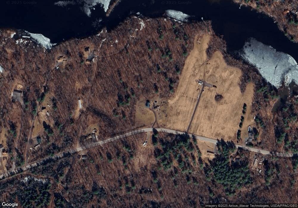
Map
Nearby Homes
- 3 Balsam Ln
- 58 Military Ln
- 1145 Brunswick Rd
- 998 Lewiston Rd
- 90 Mallard Dr
- 857 Brunswick Rd
- 525 Plains Rd
- 1178 Brunswick Ave
- 766 Brunswick Rd
- Lot 4 Cobbo Ln
- Lot 5 Cobbo Ln
- Lot 6 Cobbo Ln
- Lot 7 Cobbo Ln
- Lot 12 Hallowell Rd
- 0 Hallowell Rd Unit 1627507
- 476 Pine Tree Rd
- Lot 8D Hallowell Rd
- 301 Pond Rd
- 47 Adams Ln
- TBD Pond Rd
- 112 Lunts Hill Rd
- 88 Lunts Hill Rd
- 141 Lunts Hill Rd
- 85 Lunts Hill Rd
- 34 Buffee Landing Ln
- 149 Lunts Hill Rd
- 35 Buffee Landing Ln
- 7 Gordon Ln
- 150 Lunts Hill Rd
- 21 Lunts Hill Rd
- 23 Gordon Ln
- 153 Lunts Hill Rd
- LOT 72 Lunts Hill Rd
- 39 Gordon Ln
- 0 Lunt's Hill Rd Unit 1469959
- 10 Trout Ln
- 0 Lunts Hill Road Parcel 1 & 2 Rd Unit 1444138
- 30 Davis Ln
- 39 Penney Ln
- 58 Lunts Hill Rd