112 Meaderboro Rd New Durham, NH 03855
Estimated Value: $438,000 - $470,000
3
Beds
2
Baths
1,792
Sq Ft
$257/Sq Ft
Est. Value
About This Home
This home is located at 112 Meaderboro Rd, New Durham, NH 03855 and is currently estimated at $460,238, approximately $256 per square foot. 112 Meaderboro Rd is a home located in Strafford County with nearby schools including New Durham Elementary School, Kingswood Regional Middle School, and Kingswood Regional High School.
Ownership History
Date
Name
Owned For
Owner Type
Purchase Details
Closed on
Feb 2, 2007
Sold by
Bank Of New York Tr
Bought by
Moran Matthew J
Current Estimated Value
Home Financials for this Owner
Home Financials are based on the most recent Mortgage that was taken out on this home.
Original Mortgage
$171,200
Outstanding Balance
$102,541
Interest Rate
6.16%
Mortgage Type
Purchase Money Mortgage
Estimated Equity
$357,697
Purchase Details
Closed on
Oct 11, 2006
Sold by
Dunbar Troy and Dunbar Dianna
Bought by
Bank Of New York
Create a Home Valuation Report for This Property
The Home Valuation Report is an in-depth analysis detailing your home's value as well as a comparison with similar homes in the area
Home Values in the Area
Average Home Value in this Area
Purchase History
| Date | Buyer | Sale Price | Title Company |
|---|---|---|---|
| Moran Matthew J | $214,000 | -- | |
| Bank Of New York | $201,600 | -- |
Source: Public Records
Mortgage History
| Date | Status | Borrower | Loan Amount |
|---|---|---|---|
| Open | Bank Of New York | $171,200 |
Source: Public Records
Tax History Compared to Growth
Tax History
| Year | Tax Paid | Tax Assessment Tax Assessment Total Assessment is a certain percentage of the fair market value that is determined by local assessors to be the total taxable value of land and additions on the property. | Land | Improvement |
|---|---|---|---|---|
| 2024 | $4,595 | $236,500 | $75,400 | $161,100 |
| 2023 | $4,730 | $236,500 | $75,400 | $161,100 |
| 2022 | $4,238 | $236,500 | $75,400 | $161,100 |
| 2021 | $4,224 | $236,500 | $75,400 | $161,100 |
| 2020 | $6,360 | $236,500 | $75,400 | $161,100 |
| 2019 | $6,332 | $173,400 | $43,000 | $130,400 |
| 2018 | $4,049 | $173,400 | $43,000 | $130,400 |
| 2017 | $6,013 | $173,400 | $43,000 | $130,400 |
| 2016 | $3,942 | $173,200 | $43,000 | $130,200 |
| 2015 | $3,836 | $173,200 | $43,000 | $130,200 |
| 2014 | $4,119 | $188,500 | $57,200 | $131,300 |
Source: Public Records
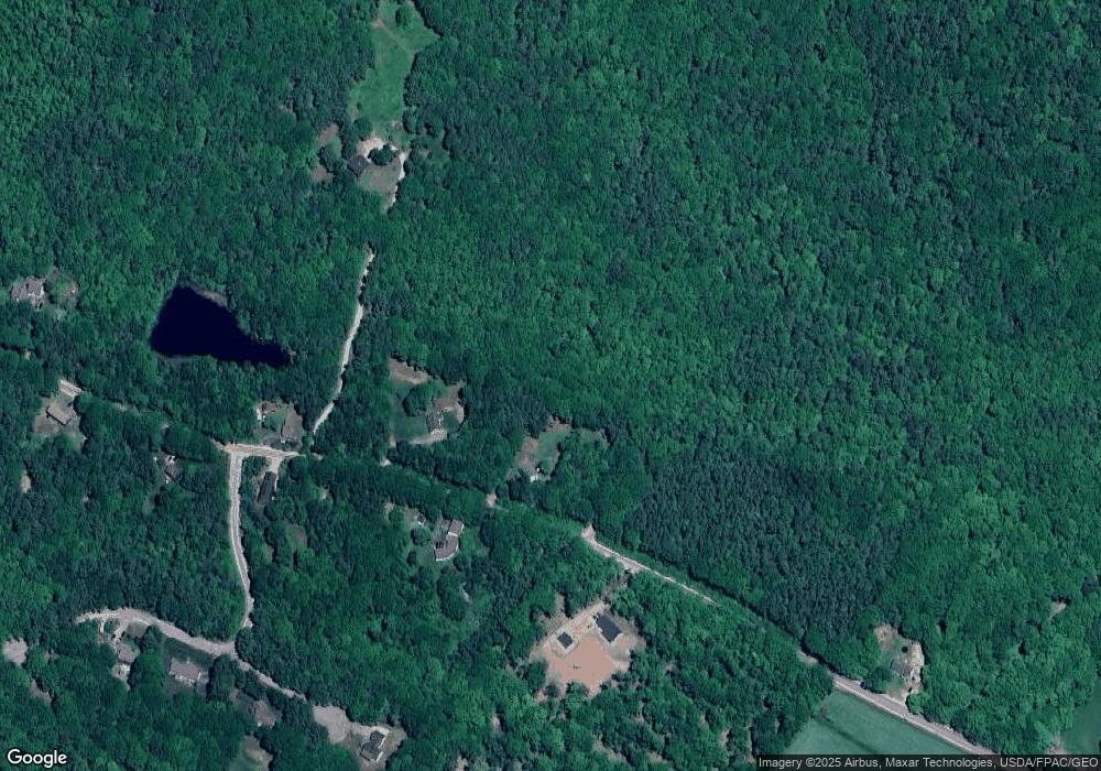
Map
Nearby Homes
- Lot 3 Ridge Rd
- 24 Ragged Mountain Rd
- 22 Stonewall Dr
- 301 Muchado Hill Rd
- 171 Berry Rd
- 16 Quaker Rd
- 400 New Hampshire 11
- 1204 Nh Route 11
- 956 N Barnstead Rd
- M 3 - L 15-2 Prospect Mountain Rd
- 176 Valley Rd
- 0 Chamberlain Rd Unit 11 5061842
- 46 Beaver Pond Rd Unit 21
- 8 Marshall Ln
- 77 Holmes Rd
- 39 Cameron Dr
- 163 Central St
- 30 Walker Rd
- 112 Win-Wood Dr
- 1 Jackson Ln
- 110 Meaderboro Rd
- 104 Meaderboro Rd
- 5 Merderboro Rd
- 108 Meaderboro Rd
- 103 Meaderboro Rd
- 00 Meaderboro Rd Unit Lot 5
- 00 Meaderboro Rd
- Lot 6 Meaderboro Rd
- Lot 4 Meaderboro Rd
- Lot 1 Meaderboro Rd
- Lot 2 Meaderboro Rd
- 99 Meaderboro Rd
- 6 Nipmuck Trail
- 8 Nipmuck Trail
- 1285 Meaderboro Rd
- 87 Meaderboro Rd
- 12 Nipmuck Trail
- 84 Meaderboro Rd
- 2 Nipmuck Trail
- 16 Nipmuck Trail