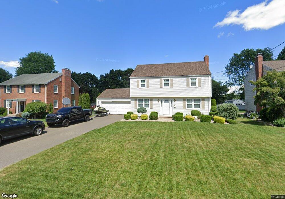
112 Midwell Rd Wethersfield, CT 06109
Estimated Value: $431,000 - $450,029
4
Beds
2
Baths
1,617
Sq Ft
$274/Sq Ft
Est. Value
About This Home
This home is located at 112 Midwell Rd, Wethersfield, CT 06109 and is currently estimated at $443,007, approximately $273 per square foot. 112 Midwell Rd is a home located in Hartford County with nearby schools including Emerson-Williams School, Woodcrest Elementary School, and Silas Deane Middle School.
Ownership History
Date
Name
Owned For
Owner Type
Purchase Details
Closed on
Sep 1, 2006
Sold by
Atwood Gerald M and Atwood Marilou T
Bought by
Capasso Joseph and Capasso Anastasia
Current Estimated Value
Home Financials for this Owner
Home Financials are based on the most recent Mortgage that was taken out on this home.
Original Mortgage
$220,000
Interest Rate
6.83%
Purchase Details
Closed on
Jul 5, 1989
Sold by
Masdonald Beverly H
Bought by
Atwood Gerald M
Create a Home Valuation Report for This Property
The Home Valuation Report is an in-depth analysis detailing your home's value as well as a comparison with similar homes in the area
Home Values in the Area
Average Home Value in this Area
Purchase History
| Date | Buyer | Sale Price | Title Company |
|---|---|---|---|
| Capasso Joseph | $301,500 | -- | |
| Atwood Gerald M | $193,500 | -- |
Source: Public Records
Mortgage History
| Date | Status | Borrower | Loan Amount |
|---|---|---|---|
| Open | Atwood Gerald M | $170,000 | |
| Closed | Atwood Gerald M | $220,000 | |
| Closed | Atwood Gerald M | $220,000 |
Source: Public Records
Tax History Compared to Growth
Tax History
| Year | Tax Paid | Tax Assessment Tax Assessment Total Assessment is a certain percentage of the fair market value that is determined by local assessors to be the total taxable value of land and additions on the property. | Land | Improvement |
|---|---|---|---|---|
| 2025 | $11,451 | $277,810 | $95,680 | $182,130 |
| 2024 | $7,797 | $180,400 | $74,230 | $106,170 |
| 2023 | $7,537 | $180,400 | $74,230 | $106,170 |
| 2022 | $7,411 | $180,400 | $74,230 | $106,170 |
| 2021 | $7,337 | $180,400 | $74,230 | $106,170 |
| 2020 | $7,340 | $180,400 | $74,230 | $106,170 |
| 2019 | $7,349 | $180,400 | $74,230 | $106,170 |
| 2018 | $7,312 | $179,300 | $72,300 | $107,000 |
| 2017 | $7,131 | $179,300 | $72,300 | $107,000 |
| 2016 | $6,910 | $179,300 | $72,300 | $107,000 |
| 2015 | $6,847 | $179,300 | $72,300 | $107,000 |
| 2014 | $6,587 | $179,300 | $72,300 | $107,000 |
Source: Public Records
Map
Nearby Homes
- 106 Midwell Rd
- 118 Midwell Rd
- 100 Midwell Rd
- 124 Midwell Rd
- 113 Mapleside Dr
- 107 Mapleside Dr
- 119 Mapleside Dr
- 111 Midwell Rd
- 101 Mapleside Dr
- 94 Midwell Rd
- 125 Mapleside Dr
- 132 Midwell Rd
- 117 Midwell Rd
- 105 Midwell Rd
- 123 Midwell Rd
- 99 Midwell Rd
- 95 Mapleside Dr
- 138 Midwell Rd
- 129 Midwell Rd
- 135 Mapleside Dr