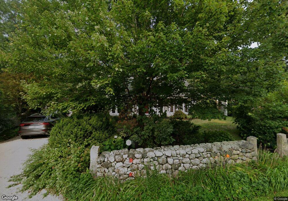
112 Myrtle St Norfolk, MA 02056
Estimated Value: $849,943 - $1,129,000
5
Beds
2
Baths
3,494
Sq Ft
$277/Sq Ft
Est. Value
About This Home
This home is located at 112 Myrtle St, Norfolk, MA 02056 and is currently estimated at $966,986, approximately $276 per square foot. 112 Myrtle St is a home located in Norfolk County with nearby schools including H. Olive Day School, Freeman-Kennedy School, and Woodside Montessori Academy.
Ownership History
Date
Name
Owned For
Owner Type
Purchase Details
Closed on
Oct 22, 2024
Sold by
Mcneely Theresa M
Bought by
Schworer-Mcneely Ret and Mcneely
Current Estimated Value
Purchase Details
Closed on
Oct 8, 1999
Sold by
Lang Herbert C and Lang Patricia M
Bought by
Mcneely Theresa
Home Financials for this Owner
Home Financials are based on the most recent Mortgage that was taken out on this home.
Original Mortgage
$200,400
Interest Rate
7.81%
Mortgage Type
Purchase Money Mortgage
Create a Home Valuation Report for This Property
The Home Valuation Report is an in-depth analysis detailing your home's value as well as a comparison with similar homes in the area
Home Values in the Area
Average Home Value in this Area
Purchase History
| Date | Buyer | Sale Price | Title Company |
|---|---|---|---|
| Schworer-Mcneely Ret | -- | None Available | |
| Schworer-Mcneely Ret | -- | None Available | |
| Mcneely Theresa | $245,000 | -- |
Source: Public Records
Mortgage History
| Date | Status | Borrower | Loan Amount |
|---|---|---|---|
| Previous Owner | Mcneely Theresa | $179,000 | |
| Previous Owner | Mcneely Theresa | $202,000 | |
| Previous Owner | Mcneely Theresa | $200,400 |
Source: Public Records
Tax History Compared to Growth
Tax History
| Year | Tax Paid | Tax Assessment Tax Assessment Total Assessment is a certain percentage of the fair market value that is determined by local assessors to be the total taxable value of land and additions on the property. | Land | Improvement |
|---|---|---|---|---|
| 2025 | $11,878 | $743,800 | $270,600 | $473,200 |
| 2024 | $10,331 | $663,500 | $270,600 | $392,900 |
| 2023 | $9,702 | $591,200 | $270,600 | $320,600 |
| 2022 | $9,320 | $512,100 | $255,200 | $256,900 |
| 2021 | $9,880 | $549,200 | $248,600 | $300,600 |
| 2020 | $9,251 | $496,300 | $228,800 | $267,500 |
| 2019 | $8,887 | $485,900 | $228,800 | $257,100 |
| 2018 | $8,584 | $461,000 | $228,800 | $232,200 |
| 2017 | $8,461 | $464,400 | $228,800 | $235,600 |
| 2016 | $7,715 | $426,700 | $236,500 | $190,200 |
| 2015 | $6,780 | $383,900 | $223,900 | $160,000 |
| 2014 | $6,740 | $386,700 | $223,900 | $162,800 |
Source: Public Records
Map
Nearby Homes
- 98 Myrtle St
- 12 Ariana Ln
- 48 River Rd
- 1 Granite Dr
- 29 Wildwood Rd Unit 29
- 99 Leland Rd
- 41 Myrtle St
- 10 Populatic Street Extension
- 10 Silver Fox Rd
- 145 Acorn St
- 312 Eagles Nest Way Unit 312
- 292 Main St
- 16 Lexington Ln
- 56 Fuller Place
- 10 Medway St
- 0 Toils End Rd
- 33 Daniels St
- 37 Daniels St
- 16 Keeney Pond Rd
- 18 Keeney Pond Rd