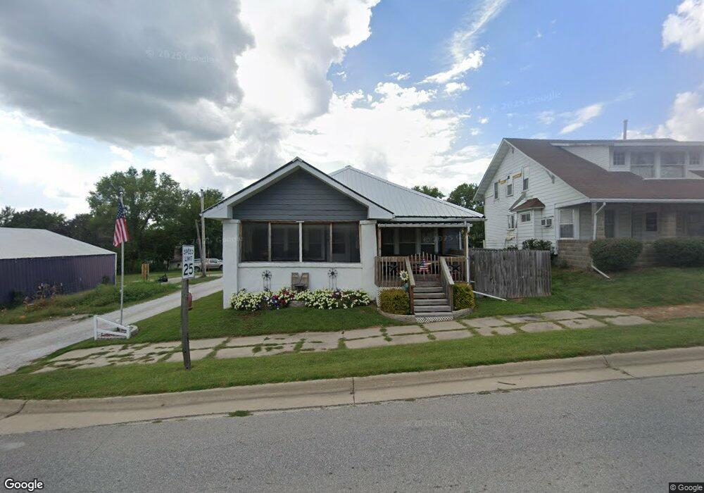
112 N Barnes St What Cheer, IA 50268
Estimated Value: $44,000 - $120,000
2
Beds
1
Bath
1,344
Sq Ft
$60/Sq Ft
Est. Value
About This Home
This home is located at 112 N Barnes St, What Cheer, IA 50268 and is currently estimated at $80,138, approximately $59 per square foot. 112 N Barnes St is a home located in Keokuk County with nearby schools including Tri-County Elementary School and Tri-County High School.
Ownership History
Date
Name
Owned For
Owner Type
Purchase Details
Closed on
Sep 6, 2023
Sold by
Thomas Matthew W and Thomas Adrianne L
Bought by
Metz Eric James
Current Estimated Value
Home Financials for this Owner
Home Financials are based on the most recent Mortgage that was taken out on this home.
Original Mortgage
$25,000
Outstanding Balance
$24,430
Interest Rate
6.81%
Mortgage Type
New Conventional
Estimated Equity
$55,708
Purchase Details
Closed on
Aug 23, 2013
Sold by
Thomas Matthew W and Thomas Adrianne L
Bought by
Metz Eric James
Purchase Details
Closed on
Jul 21, 2006
Sold by
Cheney Melva J and Cheney Kenneth
Bought by
Thomas Richard Dean
Home Financials for this Owner
Home Financials are based on the most recent Mortgage that was taken out on this home.
Original Mortgage
$30,000
Interest Rate
6.73%
Mortgage Type
New Conventional
Create a Home Valuation Report for This Property
The Home Valuation Report is an in-depth analysis detailing your home's value as well as a comparison with similar homes in the area
Purchase History
| Date | Buyer | Sale Price | Title Company |
|---|---|---|---|
| Metz Eric James | $37,500 | None Listed On Document | |
| Metz Eric James | $37,500 | None Available | |
| Thomas Richard Dean | -- | -- |
Source: Public Records
Mortgage History
| Date | Status | Borrower | Loan Amount |
|---|---|---|---|
| Open | Metz Eric James | $25,000 | |
| Previous Owner | Thomas Richard Dean | $30,000 | |
| Closed | Metz Eric James | $0 |
Source: Public Records
Tax History
| Year | Tax Paid | Tax Assessment Tax Assessment Total Assessment is a certain percentage of the fair market value that is determined by local assessors to be the total taxable value of land and additions on the property. | Land | Improvement |
|---|---|---|---|---|
| 2025 | $666 | $61,360 | $4,600 | $56,760 |
| 2024 | $666 | $52,680 | $2,710 | $49,970 |
| 2023 | $488 | $52,680 | $2,710 | $49,970 |
| 2022 | $544 | $36,010 | $2,710 | $33,300 |
| 2021 | $544 | $36,010 | $2,710 | $33,300 |
| 2020 | $528 | $34,360 | $2,170 | $32,190 |
| 2019 | $610 | $34,360 | $0 | $0 |
| 2018 | $596 | $37,100 | $0 | $0 |
| 2017 | $596 | $37,270 | $0 | $0 |
| 2016 | $624 | $37,270 | $0 | $0 |
| 2015 | $624 | $37,270 | $0 | $0 |
| 2014 | $630 | $37,270 | $0 | $0 |
Source: Public Records
Map
Nearby Homes
- 405 E Broadway St
- 701 W Fairgrounds St
- 19773 Highway 21
- 20177 173rd Ave
- 306 N 1st St E
- 3081 150th St
- 302 S High St
- 0000 163rd Ave
- 3083 150th St
- 209 Highway 22
- 105 J St
- 220 N Irons St
- 311 E Churchill St
- 102 S L St
- 3119 230th St
- 1007 W Spring St
- 419 W Jackson St
- 202 N West St
- 603 W Pleasant Valley St
- 220 W Washington St
- 110 N Barnes St
- 114 N Barnes St
- 105 N King St Unit 322
- 106 W Porter St
- 103 N King St
- 104 W Porter St
- 105 W Briney St
- 109 N Barnes St
- 113 N Barnes St
- 202 N Barnes St
- 102 N Barnes St
- 106 N King St
- 105 W Porter St
- 201 W Briney St
- 110 N King St
- 201 N Barnes St
- 109 W Porter St
- 101 S Barnes St
- 203 W Briney St
- 106 W Briney St
Your Personal Tour Guide
Ask me questions while you tour the home.