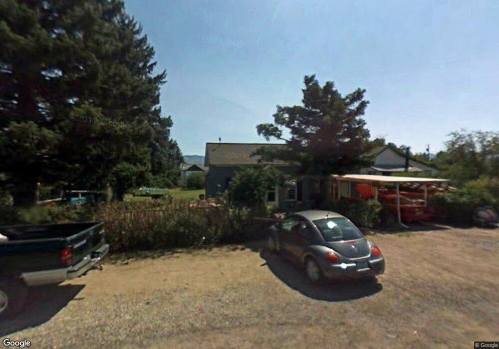
112 N Jefferson St Boulder, MT 59632
Estimated Value: $269,000 - $331,000
3
Beds
1
Bath
1,336
Sq Ft
$222/Sq Ft
Est. Value
About This Home
This home is located at 112 N Jefferson St, Boulder, MT 59632 and is currently estimated at $296,004, approximately $221 per square foot. 112 N Jefferson St is a home with nearby schools including Jefferson High School.
Ownership History
Date
Name
Owned For
Owner Type
Purchase Details
Closed on
Nov 15, 2017
Sold by
Eder Charles F
Bought by
Fossil Properierss
Current Estimated Value
Purchase Details
Closed on
Jun 16, 2009
Sold by
Scott Sam
Bought by
Eder Charles E and Eder Terri L
Purchase Details
Closed on
Mar 7, 2006
Sold by
Gollobit Richard D and Gollobit Susan M
Bought by
Eder Charles and Eder Terri
Home Financials for this Owner
Home Financials are based on the most recent Mortgage that was taken out on this home.
Original Mortgage
$46,000
Interest Rate
6.18%
Mortgage Type
New Conventional
Create a Home Valuation Report for This Property
The Home Valuation Report is an in-depth analysis detailing your home's value as well as a comparison with similar homes in the area
Home Values in the Area
Average Home Value in this Area
Purchase History
| Date | Buyer | Sale Price | Title Company |
|---|---|---|---|
| Fossil Properierss | -- | None Available | |
| Eder Charles E | -- | Surety Title Llc | |
| Eder Charles | -- | Surety Title Llc |
Source: Public Records
Mortgage History
| Date | Status | Borrower | Loan Amount |
|---|---|---|---|
| Previous Owner | Eder Charles | $46,000 |
Source: Public Records
Tax History Compared to Growth
Tax History
| Year | Tax Paid | Tax Assessment Tax Assessment Total Assessment is a certain percentage of the fair market value that is determined by local assessors to be the total taxable value of land and additions on the property. | Land | Improvement |
|---|---|---|---|---|
| 2025 | $1,802 | $297,400 | $0 | $0 |
| 2024 | $2,052 | $215,600 | $0 | $0 |
| 2023 | $1,979 | $215,600 | $0 | $0 |
| 2022 | $1,537 | $137,000 | $0 | $0 |
| 2021 | $1,343 | $137,000 | $0 | $0 |
| 2020 | $1,318 | $116,100 | $0 | $0 |
| 2019 | $1,299 | $116,100 | $0 | $0 |
| 2018 | $1,418 | $126,400 | $0 | $0 |
| 2017 | $1,173 | $126,400 | $0 | $0 |
| 2016 | $957 | $86,000 | $0 | $0 |
| 2015 | $895 | $86,000 | $0 | $0 |
| 2014 | $579 | $32,330 | $0 | $0 |
Source: Public Records
Map
Nearby Homes
- 218 S Madison St
- 301 S Elder St
- 114 N Washington St
- 510 Garden Dr
- 306 S Adams St Unit 13
- 303 N Adams St
- 400 S Adams St Unit 12
- 508 & 510 W 1st Ave
- 125 S Cleveland St
- 3 Hanging Wall Rd
- TBD Lot16a -Idaho Lode
- 75 Foothill Rd
- 31 Rogers Ln
- TBD (12.7+/- acres) High Ore Rd
- TBD (12.7 +/- Acres High Ore Rd
- TBD (28.6 +/- Acres) High Ore Rd
- TBD (28.6+/- acres) High Ore Rd
- 0 Tbd High Ore Rd Unit 23845743
- 0 Tbd High Ore Rd Unit LotWP003
- 0 Tbd High Ore Rd Unit 23863048
- 110 N Jefferson St
- 309 Second Ave E
- 305 E 2nd Ave
- 303 E 2nd Ave
- 100 N Jefferson St
- 109 N Jefferson St
- 211 E 2nd Ave
- 307 E 2nd Ave
- 309 E 2nd Ave
- 311 E 2nd Ave
- 207 E Centennial Ave
- 300 E Centennial Ave
- 204 E 2nd Ave
- 313 2nd Ave
- 207 E 2nd Ave
- 100 N Elder St
- 202 E 2nd Ave
- 404 E 2nd Ave
- 218 E Centennial Ave
- 200 N Madison St