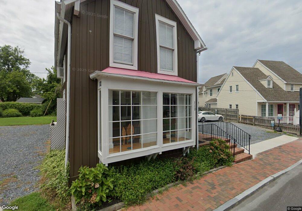
112 N Talbot St Saint Michaels, MD 21663
Estimated Value: $746,232
--
Bed
--
Bath
2,640
Sq Ft
$283/Sq Ft
Est. Value
About This Home
This home is located at 112 N Talbot St, Saint Michaels, MD 21663 and is currently estimated at $746,232, approximately $282 per square foot. 112 N Talbot St is a home located in Talbot County with nearby schools including St. Michaels Elementary School, St. Michaels Middle/High School, and Easton High School.
Ownership History
Date
Name
Owned For
Owner Type
Purchase Details
Closed on
Feb 22, 1996
Sold by
Kennard H Hunter H and Kennard Shirley K
Bought by
Leisure Aida
Current Estimated Value
Purchase Details
Closed on
Dec 31, 1984
Sold by
Thomas Robert B and Thomas Arlene M
Bought by
Kennard Kennard H and Kennard Shirley K
Home Financials for this Owner
Home Financials are based on the most recent Mortgage that was taken out on this home.
Original Mortgage
$28,000
Interest Rate
13.14%
Create a Home Valuation Report for This Property
The Home Valuation Report is an in-depth analysis detailing your home's value as well as a comparison with similar homes in the area
Home Values in the Area
Average Home Value in this Area
Purchase History
| Date | Buyer | Sale Price | Title Company |
|---|---|---|---|
| Leisure Aida | $187,000 | -- | |
| Kennard Kennard H | $49,000 | -- |
Source: Public Records
Mortgage History
| Date | Status | Borrower | Loan Amount |
|---|---|---|---|
| Previous Owner | Kennard Kennard H | $28,000 |
Source: Public Records
Tax History Compared to Growth
Tax History
| Year | Tax Paid | Tax Assessment Tax Assessment Total Assessment is a certain percentage of the fair market value that is determined by local assessors to be the total taxable value of land and additions on the property. | Land | Improvement |
|---|---|---|---|---|
| 2025 | $7,055 | $602,800 | $396,800 | $206,000 |
| 2024 | $7,055 | $571,433 | $0 | $0 |
| 2023 | $6,414 | $540,067 | $0 | $0 |
| 2022 | $5,833 | $508,700 | $355,400 | $153,300 |
| 2021 | $5,621 | $501,800 | $0 | $0 |
| 2020 | $5,621 | $494,900 | $0 | $0 |
| 2019 | $5,543 | $488,000 | $355,400 | $132,600 |
| 2018 | $5,442 | $488,000 | $355,400 | $132,600 |
| 2017 | $5,269 | $488,000 | $0 | $0 |
| 2016 | $5,103 | $530,200 | $0 | $0 |
| 2015 | $6,518 | $530,200 | $0 | $0 |
| 2014 | $6,518 | $530,200 | $0 | $0 |
Source: Public Records
Map
Nearby Homes
- 102 Gloria Ave
- 408 Spinnaker Ln
- 207 Dodson Ave
- 209 Webb Ln
- 300 Perry St
- 100 Grace St
- 107 E Chestnut St
- 25500 Chance Farm Rd
- 216 Brooks Ln
- 222 E Chestnut St
- 0 Grace St Unit MDTA2012346
- 216 E Chew Ave
- 704 Meadow St
- Lot 16A Meadow St
- 105 Seymour Ave
- 807 Radcliff Ave
- 912 Calvert Ave
- 228 Tyler Ave
- 9171 Deepwater Point Rd
- 24390 Oakwood Park Rd
- 103 Freemont St Unit 1ST FLOOR
- 103 Freemont St
- 110 N Talbot St
- 116 N Talbot St
- 103 Freemont St
- 108 N Talbot St
- 101 Freemont St
- 0 Talbot St N Unit MDTA138216
- 203 N Talbot St
- 100 North St
- 101 Fremont St
- 106 N Talbot St
- 104 N Talbot St
- 105 N Talbot St
- 103 Railroad Ave
- 103 Railroad Ave Unit 1
- 211 N Talbot St
- 204 N Talbot St
- 102 Freemont St
- 100 Freemont St