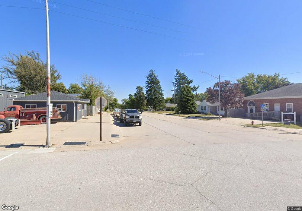
112 N West St Elmwood, NE 68349
Estimated Value: $217,000 - $297,927
2
Beds
1
Bath
1,053
Sq Ft
$234/Sq Ft
Est. Value
About This Home
This home is located at 112 N West St, Elmwood, NE 68349 and is currently estimated at $245,982, approximately $233 per square foot. 112 N West St is a home located in Cass County with nearby schools including Elmwood-Murdock Elementary School and Elmwood-Murdock Junior/Senior High School.
Ownership History
Date
Name
Owned For
Owner Type
Purchase Details
Closed on
Jun 21, 2022
Sold by
Safe Harbour Eat - Xxxv Llc
Bought by
Jean Zylstra Trust
Current Estimated Value
Purchase Details
Closed on
Mar 1, 2022
Sold by
Civic Peak Properties Llc
Bought by
Safe Harbour-Eat Xxxv Llc
Purchase Details
Closed on
Feb 29, 2020
Sold by
Peterson Chad A
Bought by
Civic Peak Properties Llc
Purchase Details
Closed on
May 1, 2017
Sold by
Miller Barbara A
Bought by
Peterson Chad A
Create a Home Valuation Report for This Property
The Home Valuation Report is an in-depth analysis detailing your home's value as well as a comparison with similar homes in the area
Home Values in the Area
Average Home Value in this Area
Purchase History
| Date | Buyer | Sale Price | Title Company |
|---|---|---|---|
| Jean Zylstra Trust | -- | None Listed On Document | |
| Safe Harbour-Eat Xxxv Llc | $260,000 | Nebraska Title | |
| Civic Peak Properties Llc | $133,000 | None Available | |
| Peterson Chad A | $101,000 | None Available |
Source: Public Records
Tax History Compared to Growth
Tax History
| Year | Tax Paid | Tax Assessment Tax Assessment Total Assessment is a certain percentage of the fair market value that is determined by local assessors to be the total taxable value of land and additions on the property. | Land | Improvement |
|---|---|---|---|---|
| 2024 | $2,460 | $176,740 | $29,500 | $147,240 |
| 2023 | $3,037 | $171,415 | $25,650 | $145,765 |
| 2022 | $2,890 | $160,021 | $26,933 | $133,088 |
| 2021 | $2,623 | $143,513 | $16,763 | $126,750 |
| 2020 | $2,587 | $127,052 | $18,439 | $108,613 |
| 2019 | $2,370 | $115,502 | $16,763 | $98,739 |
| 2018 | $2,431 | $115,502 | $16,763 | $98,739 |
| 2017 | $2,439 | $115,502 | $16,763 | $98,739 |
| 2016 | $2,324 | $115,502 | $16,763 | $98,739 |
| 2015 | $1,916 | $96,993 | $17,900 | $79,093 |
| 2014 | -- | $96,993 | $17,900 | $79,093 |
Source: Public Records
Map
Nearby Homes
- 204 S 2nd St
- 209 E D St
- 1.13 Acres, E H St
- 301 E H St
- 5103 322nd St
- 501 E 1st St
- 105 Washington St
- 8206 310th St
- 35408 34 Hwy
- TBD Tbd
- 116 Kansas St
- 815 S 358th St
- 125 S 1st St Unit 30
- 125 S 1st St Unit 6
- Lot 18 Eagles Landing
- Lot 20 Eagles Landing
- Lot 26 Eagles Landing
- Lot 19 Eagles Landing
- Lot 25 Eagles Landing
- Lot 27 Eagles Landing
- 114 N West St
- 108 N West St
- 0 Tbd B1-L3 Unit 10131476
- 0 Tbd B3-L1 Unit 10131493
- 504 W D St
- 117 N West St
- 421 W E St
- 424 W D St
- 0 Tbd B1-L2 Unit 10131475
- 516 W D St
- 213 217 N W
- 204 N West St
- 0 Tbd B3-L3 Unit 10131495
- 420 W E St
- 517 W D St
- 0 Tbd B2-L3 Unit 10131482
- 0 Tbd B2-L8 Unit 10131491
- 0 Tbd B3-L6 Unit 10131498
- 512 W E St
- 0 Tbd B3-L7 Unit 10131499
