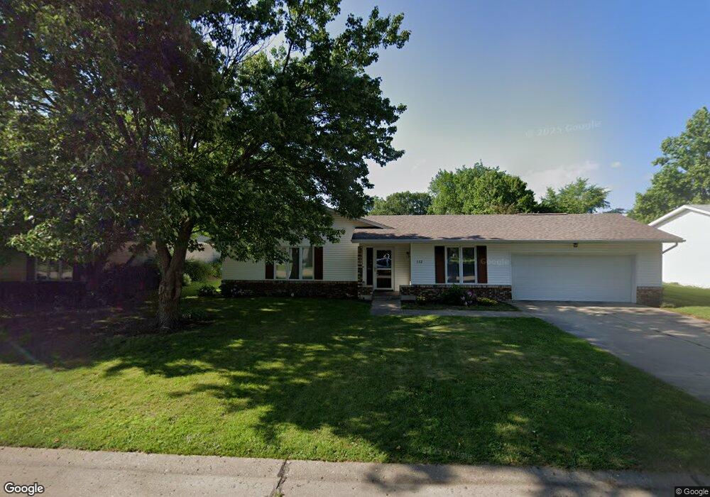
112 Pam Ln Macomb, IL 61455
Estimated Value: $132,000 - $158,000
3
Beds
--
Bath
1,380
Sq Ft
$105/Sq Ft
Est. Value
About This Home
This home is located at 112 Pam Ln, Macomb, IL 61455 and is currently estimated at $145,364, approximately $105 per square foot. 112 Pam Ln is a home located in McDonough County with nearby schools including Edison Elementary School, Lincoln Elementary School, and Macomb Junior High School.
Ownership History
Date
Name
Owned For
Owner Type
Purchase Details
Closed on
Nov 16, 2018
Sold by
Kugler Mark and Kugler Sara
Bought by
Magee Sadie
Current Estimated Value
Home Financials for this Owner
Home Financials are based on the most recent Mortgage that was taken out on this home.
Original Mortgage
$118,000
Interest Rate
4.95%
Mortgage Type
Future Advance Clause Open End Mortgage
Purchase Details
Closed on
May 2, 2018
Sold by
Provine Elizabeth A and Beck Elizabeth A
Bought by
Kugler Mark and Kugler Sara
Purchase Details
Closed on
Jul 3, 2008
Sold by
Powell Daniel O and Powell Mary Jane
Bought by
Provine Elizabeth A
Create a Home Valuation Report for This Property
The Home Valuation Report is an in-depth analysis detailing your home's value as well as a comparison with similar homes in the area
Home Values in the Area
Average Home Value in this Area
Purchase History
| Date | Buyer | Sale Price | Title Company |
|---|---|---|---|
| Magee Sadie | $118,000 | None Available | |
| Kugler Mark | $120,000 | None Available | |
| Provine Elizabeth A | $110,000 | None Available |
Source: Public Records
Mortgage History
| Date | Status | Borrower | Loan Amount |
|---|---|---|---|
| Closed | Magee Sadie | $118,000 |
Source: Public Records
Tax History
| Year | Tax Paid | Tax Assessment Tax Assessment Total Assessment is a certain percentage of the fair market value that is determined by local assessors to be the total taxable value of land and additions on the property. | Land | Improvement |
|---|---|---|---|---|
| 2024 | $4,312 | $43,478 | $4,994 | $38,484 |
| 2023 | $4,391 | $41,669 | $4,786 | $36,883 |
| 2022 | $4,062 | $40,373 | $4,637 | $35,736 |
| 2021 | $3,897 | $40,373 | $4,637 | $35,736 |
| 2020 | $3,847 | $44,902 | $4,626 | $40,276 |
| 2019 | $4,507 | $41,390 | $4,754 | $36,636 |
| 2018 | $3,677 | $41,390 | $4,754 | $36,636 |
| 2017 | $3,597 | $41,390 | $4,754 | $36,636 |
| 2016 | $3,448 | $40,952 | $4,704 | $36,248 |
| 2015 | $3,380 | $40,015 | $4,596 | $35,419 |
| 2014 | $3,311 | $39,416 | $4,527 | $34,889 |
| 2013 | $3,246 | $39,416 | $4,527 | $34,889 |
Source: Public Records
Map
Nearby Homes
- 1823 S Madison St
- 413 Evergreen Dr
- 201 Evergreen Dr
- 1905 S Madison St
- 2005 S Madison St
- 1 Marty Ln
- 439 E Yeiser St
- 301 E Summit St
- 802 Bobby Ave
- 1218 Joseph St
- 239 W Fisk St
- 644 S Randolph St
- 703 E Franklin St
- 704 S Lafayette St
- 404 W Kelly St
- 236 W Fisk St
- 6 Marty Ln
- 329 W Fisk St
- 1009 S Candy Ln
- 604 S Randolph St