112 Red Bird Ln Clarkrange, TN 38553
Estimated Value: $83,075 - $191,000
About This Home
This home is located at 112 Red Bird Ln, Clarkrange, TN 38553 and is currently estimated at $150,019, approximately $150 per square foot. 112 Red Bird Ln is a home located in Fentress County.
Ownership History
We collect this data history from publicly available records. To have your information removed, we recommend requesting removal directly through your county’s website.
Purchase Details
Purchase Details
Purchase Details
Purchase Details
Purchase Details
Purchase History
We collect this data history from publicly available records. To have your information removed, we recommend requesting removal directly through your county’s website.
| Date | Buyer | Sale Price | Title Company |
|---|---|---|---|
| $25,000 | -- | ||
| $500 | -- | ||
| -- | -- | ||
| $39,500 | -- | ||
| $16,500 | -- |
Tax History
We collect this data history from publicly available records. To have your information removed, we recommend requesting removal directly through your county’s website.
| Year | Tax Paid | Tax Assessment Tax Assessment Total Assessment is a certain percentage of the fair market value that is determined by local assessors to be the total taxable value of land and additions on the property. | Land | Improvement |
|---|---|---|---|---|
| 2025 | $165 | $12,200 | $875 | $11,325 |
| 2024 | $165 | $12,200 | $875 | $11,325 |
| 2023 | $165 | $12,200 | $875 | $11,325 |
| 2022 | $132 | $6,925 | $750 | $6,175 |
| 2021 | $132 | $6,925 | $750 | $6,175 |
| 2020 | $132 | $6,925 | $750 | $6,175 |
| 2019 | $132 | $6,925 | $750 | $6,175 |
| 2018 | $132 | $6,925 | $750 | $6,175 |
| 2017 | $123 | $6,200 | $750 | $5,450 |
| 2016 | $123 | $6,200 | $750 | $5,450 |
| 2015 | $123 | $6,193 | $0 | $0 |
| 2014 | $123 | $6,193 | $0 | $0 |
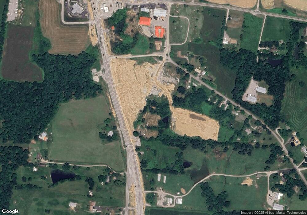
Map
- 6940 S York Hwy
- 6986 S York Hwy
- 6986 S York Hwy
- 6986 S York Highway 6986 Hwy
- 1188 Clarkrange Monterey Hwy
- 515 Ferry Bend Trail Unit 18
- 515 Ferry Bend Trail
- 469 Ferry Bend Trail
- 6604 S York Hwy
- 0 Old Martha Washington Rd
- 229 Craig Rd
- 219 N Lowe Rd
- 74 Farmer Rd
- 74 Farmer Rd
- 911 Spearhead Cir
- 841 Spearhead Cir
- 1 Smith Rd
- 2 Smith Rd
- 3 Smith Rd
- 4 Smith Rd
- 6955 S York Hwy
- 106 Red Bird Ln
- 0 W Clarkrange Elementary-5 25 Ac Rd Unit 1044573
- W Clarkrange Elementary-5 25 Ac Rd
- 1040 W Rock Quarry Rd
- 1.5 AC S York Hwy
- 0 Highway 127 N - 5 Ac Unit RTC2937346
- 0 Highway 127 N - 5 Ac Unit 1044555
- 0 Clarkrange Elementary Rd Unit RTC2937348
- 0 Clarkrange Elementary Rd Unit 1044570
- 5775 S 127 Hwy
- 0 Little Hurricane Park Unit 832630
- 0 Ferry Bend Unit 834737
- 0 Highway 127 N - 1 Ac Unit RTC2937349
- 0 Highway 127 N - 1 Ac Unit 1044565
- 0 Highway 127 N - 1 Ac Unit 1044556
- 6960 S York Hwy
- 1041 W Rock Quarry Rd
- 6971 S York Hwy
- 0 Highway 127 - 1 2 Ac Unit RTC2937347
Ask me questions while you tour the home.