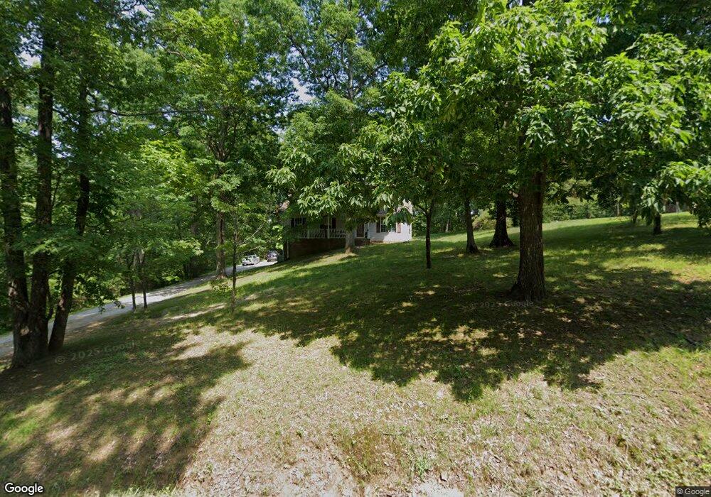
112 Robert Porter Rd Dickson, TN 37055
Estimated Value: $312,038 - $392,000
Studio
2
Baths
1,638
Sq Ft
$216/Sq Ft
Est. Value
About This Home
This home is located at 112 Robert Porter Rd, Dickson, TN 37055 and is currently estimated at $354,510, approximately $216 per square foot. 112 Robert Porter Rd is a home located in Dickson County with nearby schools including Centennial Elementary School, Dickson Middle School, and Dickson County High School.
Ownership History
Date
Name
Owned For
Owner Type
Purchase Details
Closed on
Aug 23, 2007
Sold by
Bank Of New York
Bought by
Adams Melissa C
Current Estimated Value
Purchase Details
Closed on
Sep 18, 2003
Sold by
Giuliano Anthony
Bought by
Mccain John A
Purchase Details
Closed on
Nov 27, 1996
Sold by
Millward Randy L
Bought by
Giuliano Anthony and Giuliano Jacquel
Purchase Details
Closed on
May 2, 1988
Bought by
Millward Randy L
Purchase Details
Closed on
Dec 5, 1985
Bought by
Dickson Builders Supply Inc
Create a Home Valuation Report for This Property
The Home Valuation Report is an in-depth analysis detailing your home's value as well as a comparison with similar homes in the area
Home Values in the Area
Average Home Value in this Area
Purchase History
| Date | Buyer | Sale Price | Title Company |
|---|---|---|---|
| Adams Melissa C | $128,900 | -- | |
| Mccain John A | $120,000 | -- | |
| Giuliano Anthony | $95,000 | -- | |
| Millward Randy L | $74,000 | -- | |
| Dickson Builders Supply Inc | -- | -- |
Source: Public Records
Tax History
| Year | Tax Paid | Tax Assessment Tax Assessment Total Assessment is a certain percentage of the fair market value that is determined by local assessors to be the total taxable value of land and additions on the property. | Land | Improvement |
|---|---|---|---|---|
| 2025 | -- | $72,150 | $13,075 | $59,075 |
| 2024 | -- | $72,150 | $13,075 | $59,075 |
| 2023 | $1,526 | $48,850 | $5,375 | $43,475 |
| 2022 | $1,526 | $48,850 | $5,375 | $43,475 |
| 2021 | $1,526 | $48,850 | $5,375 | $43,475 |
| 2020 | $1,526 | $48,850 | $5,375 | $43,475 |
| 2019 | $1,526 | $48,850 | $5,375 | $43,475 |
| 2018 | $1,331 | $36,475 | $5,025 | $31,450 |
| 2017 | $1,331 | $36,475 | $5,025 | $31,450 |
| 2016 | $1,331 | $36,475 | $5,025 | $31,450 |
| 2015 | $1,213 | $31,275 | $5,025 | $26,250 |
| 2014 | $1,213 | $31,275 | $5,025 | $26,250 |
Source: Public Records
Map
Nearby Homes
- 111 Rouse Rd
- 0 Rouse Rd
- 0 Old Pond Ln
- 445 Old Pond Ln
- 251 Rouse Rd
- 534 Country Club Dr
- 307 Masters Way
- 500 Country Club Dr
- 404 Masters Way
- 122 Pond Rd
- 2 Old Pond Ln
- 4 Old Pond Ln
- 3 Old Pond Ln
- 202 Parkway W
- 1118 W 1st St
- 0 White Oak Dr
- 0 Hwy 70 W Unit RTC3050093
- 0 W First St
- 0 Country Club Dr Unit RTC3118750
- 1014 Post Oak Dr
- 114 Robert Porter Rd
- 110 Robert Porter Rd
- 113 Rouse Rd
- 111 Robert Porter Rd
- 116 Robert Porter Rd
- 109 Rouse Rd
- 115 Robert Porter Rd
- 109 Robert Porter Rd
- 117 Robert Porter Rd
- 107 Rouse Rd
- 117 Rouse Rd
- 118 Robert Porter Rd
- 102 Robert Porter Rd
- 119 Robert Porter Rd
- 106 Hampton Rd
- 103 Rouse Rd
- 101 Robert Porter Rd
- 110 Hampton Rd
- 121 Rouse Rd
- 104 Hampton Rd
Your Personal Tour Guide
Ask me questions while you tour the home.