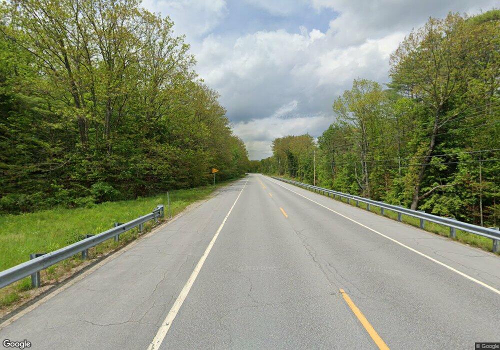
112 Route 4a Andover, NH 03216
Estimated Value: $165,000 - $391,000
1
Bed
1
Bath
893
Sq Ft
$293/Sq Ft
Est. Value
About This Home
This home is located at 112 Route 4a, Andover, NH 03216 and is currently estimated at $261,451, approximately $292 per square foot. 112 Route 4a is a home located in Merrimack County with nearby schools including Andover Elementary Middle School, Merrimack Valley High School, and Proctor Academy.
Create a Home Valuation Report for This Property
The Home Valuation Report is an in-depth analysis detailing your home's value as well as a comparison with similar homes in the area
Home Values in the Area
Average Home Value in this Area
Tax History Compared to Growth
Tax History
| Year | Tax Paid | Tax Assessment Tax Assessment Total Assessment is a certain percentage of the fair market value that is determined by local assessors to be the total taxable value of land and additions on the property. | Land | Improvement |
|---|---|---|---|---|
| 2024 | $2,014 | $137,573 | $126,073 | $11,500 |
| 2023 | $2,094 | $91,227 | $82,927 | $8,300 |
| 2022 | $1,937 | $91,419 | $83,119 | $8,300 |
| 2021 | $1,915 | $91,595 | $83,295 | $8,300 |
| 2020 | $1,955 | $91,614 | $83,314 | $8,300 |
| 2019 | $1,983 | $91,631 | $83,331 | $8,300 |
| 2018 | $1,767 | $77,032 | $66,832 | $10,200 |
| 2017 | $1,761 | $77,023 | $66,823 | $10,200 |
| 2016 | $1,638 | $77,054 | $66,854 | $10,200 |
| 2015 | $1,528 | $76,874 | $66,674 | $10,200 |
| 2014 | $1,567 | $76,872 | $66,672 | $10,200 |
| 2013 | $1,939 | $103,388 | $81,488 | $21,900 |
Source: Public Records
Map
Nearby Homes
- 221 Campground Rd
- Lot 8 Stone Bridge Rd
- 106 Lead Mine Rd
- 62 Patterson Rd
- 133 Nh Route 4a
- 19 Ives
- 0 Quiet Cove Way Unit 5
- Lot 3 Kimpton Brook Rd
- 24 Mountain Overlook
- 00 New Canada Rd Unit 7
- Lot 16 Granite Hill Rd
- 58 Main St
- 151 Beech Hill Rd
- 192 Beech Hill Rd
- Lot 2 Laurel Ln
- 0 Howe Rd Unit 4996459
- 53 Elkins Rd
- 375 New Canada Rd
- 97 Salisbury Hwy
- 658 N Wilmot Rd
- 112 New Hampshire 4a
- 112 4a Route
- 109 Route 4a
- 93 Route 4a
- 65 Route 4a
- 154 Route 4a
- 147 Route 4a
- 52 Fox Farm Rd
- 259 Depot St
- 273 Depot St
- 241 Depot St
- 274 Depot St
- 274 Depot St Unit B
- 305 Depot St
- 286 Depot St
- Lot 5 & Off Depot St
- Lot 5 Depot St
- Off Depot St
- Lots 4, 5, & 6 Depot St Unit 4, 5, 6
- Lot 1,2,3,4,5,6 Depot St
