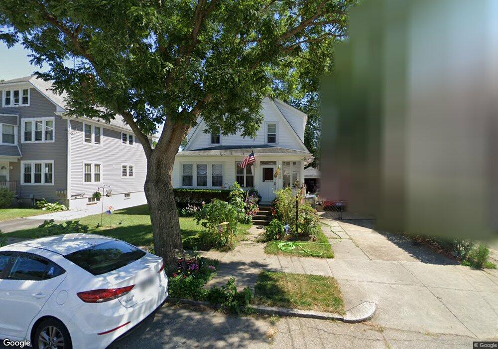
112 Sinclair Ave Cranston, RI 02907
Estimated Value: $407,861 - $447,000
4
Beds
2
Baths
1,560
Sq Ft
$276/Sq Ft
Est. Value
About This Home
This home is located at 112 Sinclair Ave, Cranston, RI 02907 and is currently estimated at $430,465, approximately $275 per square foot. 112 Sinclair Ave is a home located in Providence County with nearby schools including Paul Cuffee High School and Sophia Academy.
Ownership History
Date
Name
Owned For
Owner Type
Purchase Details
Closed on
Aug 17, 2015
Sold by
Nichols James R
Bought by
Nichols James R and Nichols Elizabeth A
Current Estimated Value
Purchase Details
Closed on
Oct 2, 2013
Sold by
Nichols James R
Bought by
Quinn R
Purchase Details
Closed on
Mar 27, 1996
Sold by
Darling Gilbert T and Darling Lois
Bought by
Nichols James R and Nichols Elizabeth
Create a Home Valuation Report for This Property
The Home Valuation Report is an in-depth analysis detailing your home's value as well as a comparison with similar homes in the area
Purchase History
| Date | Buyer | Sale Price | Title Company |
|---|---|---|---|
| Nichols James R | -- | -- | |
| Quinn R | $6,404 | -- | |
| Nichols James R | $93,500 | -- |
Source: Public Records
Mortgage History
| Date | Status | Borrower | Loan Amount |
|---|---|---|---|
| Previous Owner | Nichols James R | $202,000 | |
| Previous Owner | Nichols James R | $172,000 | |
| Previous Owner | Nichols James R | $20,800 |
Source: Public Records
Tax History
| Year | Tax Paid | Tax Assessment Tax Assessment Total Assessment is a certain percentage of the fair market value that is determined by local assessors to be the total taxable value of land and additions on the property. | Land | Improvement |
|---|---|---|---|---|
| 2025 | $4,937 | $355,700 | $102,800 | $252,900 |
| 2024 | $4,841 | $355,700 | $102,800 | $252,900 |
| 2023 | $4,770 | $252,400 | $67,700 | $184,700 |
| 2022 | $4,672 | $252,400 | $67,700 | $184,700 |
| 2021 | $4,543 | $252,400 | $67,700 | $184,700 |
| 2020 | $4,241 | $204,200 | $64,500 | $139,700 |
| 2019 | $4,241 | $204,200 | $64,500 | $139,700 |
| 2018 | $4,143 | $204,200 | $64,500 | $139,700 |
| 2017 | $4,290 | $187,000 | $58,000 | $129,000 |
| 2016 | $4,198 | $187,000 | $58,000 | $129,000 |
| 2015 | $4,198 | $187,000 | $58,000 | $129,000 |
| 2014 | $3,976 | $174,100 | $58,000 | $116,100 |
Source: Public Records
Map
Nearby Homes
- 31 Burrows St
- 43 Woodbine St
- 113 Alger Ave
- 129 Alger Ave
- 125 Alger Ave
- 326 Beckwith St
- 41 Cottage St
- 55 Togansett Rd
- 26 Westmore St
- 00 Westmore St
- 90 Garden St
- 102 Dixon St Unit 12
- 140 Eldridge St
- 288 Pontiac Ave
- 309 Station St
- 6 Tobyhanna St
- 227 Sackett St
- 99 Dixon St
- 236 Gallatin St
- 152 Woodbine St
- 118 Sinclair Ave
- 108 Sinclair Ave
- 0 Sinclair Ave
- 80 Paine Ave
- 126 Sinclair Ave
- 76 Paine Ave
- 102 Sinclair Ave
- 84 Paine Ave
- 72 Paine Ave
- 88 Paine Ave
- 111 Sinclair Ave
- 130 Sinclair Ave
- 107 Sinclair Ave
- 96 Sinclair Ave
- 115 Sinclair Ave
- 68 Paine Ave
- 121 Sinclair Ave
- 92 Paine Ave
- 105 Sinclair Ave
- 136 Sinclair Ave
Your Personal Tour Guide
Ask me questions while you tour the home.