112 St Anthony Ln Franklinville, NJ 08322
Franklin Township NeighborhoodEstimated Value: $695,076 - $755,000
--
Bed
--
Bath
3,462
Sq Ft
$209/Sq Ft
Est. Value
About This Home
This home is located at 112 St Anthony Ln, Franklinville, NJ 08322 and is currently estimated at $722,269, approximately $208 per square foot. 112 St Anthony Ln is a home located in Gloucester County with nearby schools including Delsea Regional Middle School, Delsea Regional High School, and St. Mary School.
Ownership History
Date
Name
Owned For
Owner Type
Purchase Details
Closed on
Dec 17, 2024
Sold by
Turner Robert L and Turner Denise M
Bought by
Demmy Jason and Gatier-Demmy Ashley
Current Estimated Value
Home Financials for this Owner
Home Financials are based on the most recent Mortgage that was taken out on this home.
Original Mortgage
$525,000
Outstanding Balance
$520,887
Interest Rate
6.81%
Mortgage Type
New Conventional
Estimated Equity
$201,382
Create a Home Valuation Report for This Property
The Home Valuation Report is an in-depth analysis detailing your home's value as well as a comparison with similar homes in the area
Home Values in the Area
Average Home Value in this Area
Purchase History
| Date | Buyer | Sale Price | Title Company |
|---|---|---|---|
| Demmy Jason | $700,000 | None Listed On Document | |
| Demmy Jason | $700,000 | None Listed On Document |
Source: Public Records
Mortgage History
| Date | Status | Borrower | Loan Amount |
|---|---|---|---|
| Open | Demmy Jason | $525,000 | |
| Closed | Demmy Jason | $525,000 |
Source: Public Records
Tax History Compared to Growth
Tax History
| Year | Tax Paid | Tax Assessment Tax Assessment Total Assessment is a certain percentage of the fair market value that is determined by local assessors to be the total taxable value of land and additions on the property. | Land | Improvement |
|---|---|---|---|---|
| 2025 | $13,720 | $358,500 | $50,500 | $308,000 |
| 2024 | $13,394 | $358,500 | $50,500 | $308,000 |
| 2023 | $13,394 | $358,500 | $50,500 | $308,000 |
| 2022 | $12,845 | $358,500 | $50,500 | $308,000 |
| 2021 | $12,845 | $358,500 | $50,500 | $308,000 |
| 2020 | $12,680 | $358,500 | $50,500 | $308,000 |
| 2019 | $12,504 | $358,500 | $50,500 | $308,000 |
| 2018 | $12,325 | $358,500 | $50,500 | $308,000 |
| 2017 | $12,053 | $358,500 | $50,500 | $308,000 |
| 2016 | $11,992 | $358,500 | $50,500 | $308,000 |
| 2015 | $11,515 | $358,500 | $50,500 | $308,000 |
| 2014 | $11,081 | $358,500 | $50,500 | $308,000 |
Source: Public Records
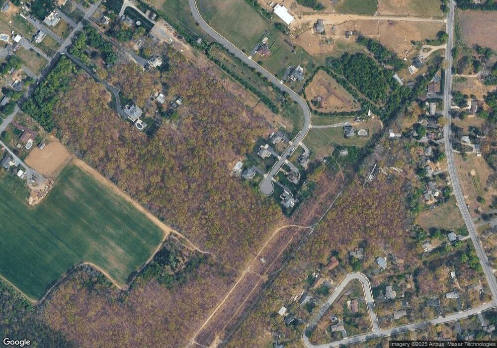
Map
Nearby Homes
- 236 S Tuckahoe Rd
- 4516 Tuckahoe Rd
- 3060 Williamstown Rd
- 2243 Stanton Ave
- 664 Scotland Run Ave
- 201 Luray Dr
- 43 Queensferry Dr
- 0 E Grant Ave
- 2323 Sheridan Ave
- 161 Deschler Blvd
- 34 Morgan Dr
- 960 Butler Dr
- 943 Sykesville Rd
- 179 Presley Way
- 109 Holly Rd
- 85 Presley Way
- 549 Maidstone Dr
- 640 Ironwood Dr
- 271 Kille Rd
- 647 Chestnut St
- 112 Saint Anthony Ln
- 110 St Anthony Ln
- 111 Saint Anthony Ln
- 108 St Anthony Ln
- 111 St Anthony Ln
- 113 St Anthony Ln
- 109 St Anthony Ln
- 3268 Williamstown Rd
- 107 St Anthony Ln
- 105 St Anthony Ln
- 3272 Williamstown Rd
- 155 Dawn Dr
- 103 St Anthony Ln
- 103 Saint Anthony Ln
- 161 Dawn Dr
- 143 Dawn Dr
- 169 Dawn Dr
- 127 Dawn Dr
- 181 Dawn Dr
- 265 S Tuckahoe Rd