112 Stephens Farm Dr Canton, GA 30115
Union Hill NeighborhoodEstimated Value: $872,000 - $1,107,000
4
Beds
6
Baths
5,618
Sq Ft
$179/Sq Ft
Est. Value
About This Home
This home is located at 112 Stephens Farm Dr, Canton, GA 30115 and is currently estimated at $1,006,909, approximately $179 per square foot. 112 Stephens Farm Dr is a home located in Cherokee County with nearby schools including Avery Elementary School, Creekland Middle School, and Creekview High School.
Ownership History
Date
Name
Owned For
Owner Type
Purchase Details
Closed on
Apr 16, 2004
Sold by
Stephens Farm Llc
Bought by
Marcus Jeffrey A
Current Estimated Value
Home Financials for this Owner
Home Financials are based on the most recent Mortgage that was taken out on this home.
Original Mortgage
$75,000
Interest Rate
5.38%
Mortgage Type
New Conventional
Create a Home Valuation Report for This Property
The Home Valuation Report is an in-depth analysis detailing your home's value as well as a comparison with similar homes in the area
Home Values in the Area
Average Home Value in this Area
Purchase History
| Date | Buyer | Sale Price | Title Company |
|---|---|---|---|
| Marcus Jeffrey A | $90,000 | -- |
Source: Public Records
Mortgage History
| Date | Status | Borrower | Loan Amount |
|---|---|---|---|
| Closed | Marcus Jeffrey A | $75,000 |
Source: Public Records
Tax History
| Year | Tax Paid | Tax Assessment Tax Assessment Total Assessment is a certain percentage of the fair market value that is determined by local assessors to be the total taxable value of land and additions on the property. | Land | Improvement |
|---|---|---|---|---|
| 2025 | $8,235 | $344,680 | $88,000 | $256,680 |
| 2024 | $8,204 | $346,240 | $88,000 | $258,240 |
| 2023 | $7,686 | $342,280 | $88,000 | $254,280 |
| 2022 | $6,777 | $274,680 | $44,000 | $230,680 |
| 2021 | $6,776 | $250,600 | $44,000 | $206,600 |
| 2020 | $6,683 | $246,320 | $44,000 | $202,320 |
| 2019 | $6,232 | $226,920 | $44,000 | $182,920 |
| 2018 | $6,040 | $217,200 | $44,000 | $173,200 |
| 2017 | $5,702 | $501,900 | $35,200 | $165,560 |
| 2016 | $6,006 | $528,100 | $35,200 | $176,040 |
| 2015 | $6,073 | $528,900 | $35,200 | $176,360 |
| 2014 | $5,395 | $463,600 | $35,200 | $150,240 |
Source: Public Records
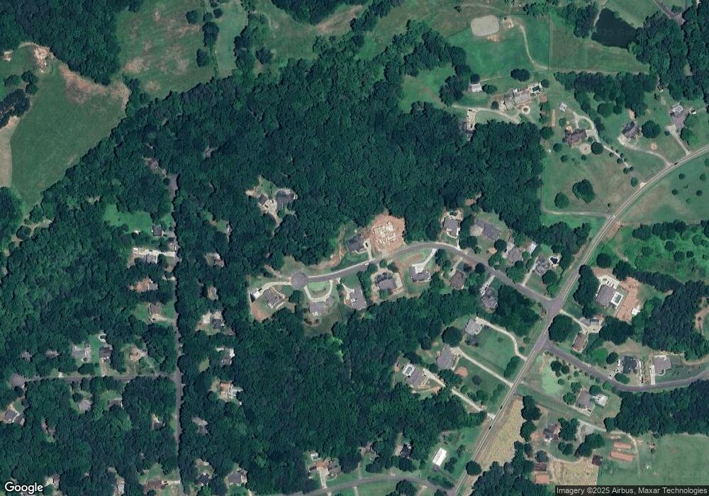
Map
Nearby Homes
- 1155 Orchid Way
- 109 Hawks Bend
- 158 Carmichael Dr
- 503 Ernest Ct
- 462 Carmichael Cir
- 406 Addie Ln
- 451 Carmichael Cir
- 4882 Sugar Pike Rd
- 517 Hayes Ln
- 111 Brannon Dr
- 706 Paint Horse Dr
- 329 Carmichael Cir
- 1996 Thomas Rd
- 328 Mcqueen Way
- 128 Long Shadows Dr
- 317 Mcqueen Way
- 218 Carmichael Dr
- 124 Long Shadows Dr
- 6125 Union Hill Rd
- 300 Mcqueen Way
- 109 Stephens Farm Dr
- 107 Stephens Farm Dr
- 111 Stephens Farm Dr
- 110 Stephens Farm Dr
- 105 Stephens Farm Dr
- 114 Stephens Farm Dr
- 108 Stephens Farm Dr
- 103 Stephens Farm Dr
- 103 Stephens Farm Dr Unit 5
- 113 Stephens Farm Dr
- 1025 Orchid Way
- 104 Stephens Farm Dr
- 1035 Orchid Way Unit III
- 1065 Orchid Way Unit 3
- 1881 Lower Union Hill Rd
- 1885 Lower Union Hill Rd
- 101 Stephens Farm Dr
- 1875 Lower Union Hill Rd Unit 1
- 1875 Lower Union Hill Rd
- 1875 Lower Union Hill Rd Unit 149
Your Personal Tour Guide
Ask me questions while you tour the home.