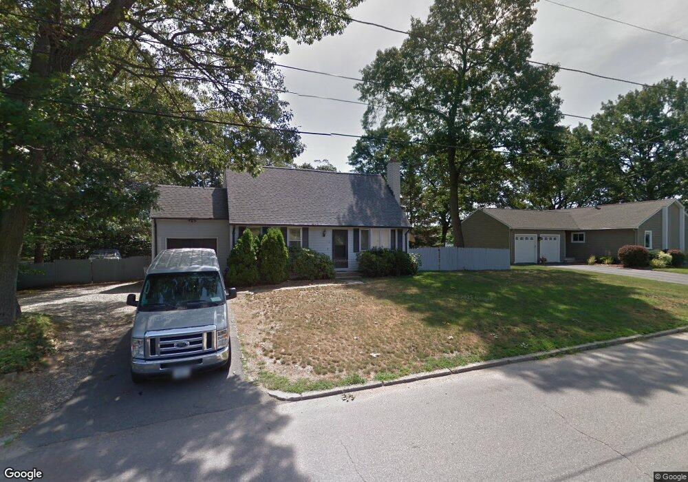
112 Sturbridge Dr Warwick, RI 02886
Cowesett NeighborhoodEstimated Value: $489,000 - $610,000
3
Beds
2
Baths
1,428
Sq Ft
$386/Sq Ft
Est. Value
About This Home
This home is located at 112 Sturbridge Dr, Warwick, RI 02886 and is currently estimated at $551,149, approximately $385 per square foot. 112 Sturbridge Dr is a home located in Kent County with nearby schools including Our Lady of Mercy School.
Ownership History
Date
Name
Owned For
Owner Type
Purchase Details
Closed on
Jun 11, 2024
Sold by
Hatton William R
Bought by
William R Hatton Ret and Hatton
Current Estimated Value
Purchase Details
Closed on
Sep 4, 2009
Sold by
Hatton Deborah J
Bought by
Hatton William R
Purchase Details
Closed on
Aug 17, 2009
Sold by
Hatton Deborah J
Bought by
Hatton William R
Create a Home Valuation Report for This Property
The Home Valuation Report is an in-depth analysis detailing your home's value as well as a comparison with similar homes in the area
Home Values in the Area
Average Home Value in this Area
Purchase History
| Date | Buyer | Sale Price | Title Company |
|---|---|---|---|
| William R Hatton Ret | -- | None Available | |
| William R Hatton Ret | -- | None Available | |
| Hatton William R | -- | -- | |
| Hatton William R | -- | -- | |
| Hatton William R | -- | -- | |
| Hatton William R | -- | -- |
Source: Public Records
Mortgage History
| Date | Status | Borrower | Loan Amount |
|---|---|---|---|
| Previous Owner | Hatton William R | $20,000 | |
| Previous Owner | Hatton William R | $120,000 |
Source: Public Records
Tax History
| Year | Tax Paid | Tax Assessment Tax Assessment Total Assessment is a certain percentage of the fair market value that is determined by local assessors to be the total taxable value of land and additions on the property. | Land | Improvement |
|---|---|---|---|---|
| 2025 | $5,845 | $460,200 | $150,100 | $310,100 |
| 2024 | $5,969 | $412,500 | $126,200 | $286,300 |
| 2023 | $5,853 | $412,500 | $126,200 | $286,300 |
| 2022 | $6,069 | $324,000 | $102,700 | $221,300 |
| 2021 | $6,069 | $324,000 | $102,700 | $221,300 |
| 2020 | $6,069 | $324,000 | $102,700 | $221,300 |
| 2019 | $6,069 | $324,000 | $102,700 | $221,300 |
| 2018 | $5,576 | $268,100 | $108,700 | $159,400 |
| 2017 | $5,426 | $268,100 | $108,700 | $159,400 |
| 2016 | $5,426 | $268,100 | $108,700 | $159,400 |
| 2015 | $4,758 | $229,300 | $93,500 | $135,800 |
| 2014 | $4,600 | $229,300 | $93,500 | $135,800 |
| 2013 | $4,538 | $229,300 | $93,500 | $135,800 |
Source: Public Records
Map
Nearby Homes
- 155 Birkshire Dr
- 48 Patrick Way
- 170 Cowesett Rd
- 151 Drum Rock Ave
- 123 Cowesett Rd
- 10 Arrowhead Way
- 52 Bruce Ln
- 146 Edmond Dr
- 52 Benefit St
- 3800 Post Rd Unit 4
- 3399 Post Rd Unit 15
- 6 Contour Rd
- 6 Island View Dr
- 54 Highland Ave
- 43 Highland Ave
- 3940 Post Rd Unit 26
- 3940 Post Rd Unit 3
- 3976 Post Rd
- 84 Spruce St
- 442 Sleepy Hollow Farm Rd
- 122 Sturbridge Dr
- 100 Sturbridge Dr
- 111 Sturbridge Dr
- 17 Spinnaker Ln
- 101 Sturbridge Dr
- 134 Sturbridge Dr
- 7 Spinnaker Ln
- 129 Sturbridge Dr
- 88 Sturbridge Dr
- 27 Spinnaker Ln
- 91 Sturbridge Dr
- 230 Shenandoah Rd
- 112 Birkshire Dr
- 100 Birkshire Dr
- 234 Shenandoah Rd
- 144 Sturbridge Dr
- 30 Spinnaker Ln
- 14 Spinnaker Ln
- 37 Spinnaker Ln
- 74 Sturbridge Dr
Your Personal Tour Guide
Ask me questions while you tour the home.