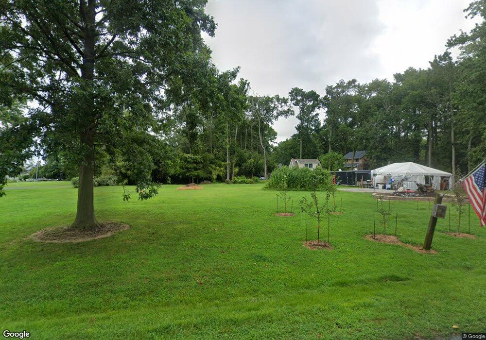
112 Trequassin Dr Stevensville, MD 21666
Estimated Value: $163,000 - $647,000
--
Bed
3
Baths
2,684
Sq Ft
$151/Sq Ft
Est. Value
About This Home
This home is located at 112 Trequassin Dr, Stevensville, MD 21666 and is currently estimated at $405,000, approximately $150 per square foot. 112 Trequassin Dr is a home located in Queen Anne's County with nearby schools including Matapeake Elementary School, Matapeake Middle School, and Kent Island High School.
Ownership History
Date
Name
Owned For
Owner Type
Purchase Details
Closed on
Sep 23, 2024
Sold by
Willard Charles B and Willard Kimberly L
Bought by
Willard Charles B
Current Estimated Value
Purchase Details
Closed on
Nov 5, 1997
Sold by
Coale Tilghman C
Bought by
Willard Charles B and Willard Kimblery L
Purchase Details
Closed on
Feb 8, 1988
Sold by
Kittinger Raymond D
Bought by
Coale Tilghman C and Coale Lucille
Create a Home Valuation Report for This Property
The Home Valuation Report is an in-depth analysis detailing your home's value as well as a comparison with similar homes in the area
Home Values in the Area
Average Home Value in this Area
Purchase History
| Date | Buyer | Sale Price | Title Company |
|---|---|---|---|
| Willard Charles B | -- | None Listed On Document | |
| Willard Charles B | $50,000 | -- | |
| Coale Tilghman C | $16,500 | -- |
Source: Public Records
Mortgage History
| Date | Status | Borrower | Loan Amount |
|---|---|---|---|
| Closed | Willard Charles B | -- |
Source: Public Records
Tax History Compared to Growth
Tax History
| Year | Tax Paid | Tax Assessment Tax Assessment Total Assessment is a certain percentage of the fair market value that is determined by local assessors to be the total taxable value of land and additions on the property. | Land | Improvement |
|---|---|---|---|---|
| 2025 | $1,226 | $174,867 | $0 | $0 |
| 2024 | $1,226 | $163,633 | $0 | $0 |
| 2023 | $1,221 | $152,500 | $152,400 | $100 |
| 2022 | $1,330 | $384,933 | $0 | $0 |
| 2021 | $3,363 | $364,667 | $0 | $0 |
| 2020 | $3,363 | $344,400 | $93,400 | $251,000 |
| 2019 | $3,363 | $344,400 | $93,400 | $251,000 |
| 2018 | $3,363 | $344,400 | $93,400 | $251,000 |
| 2017 | $3,529 | $361,700 | $0 | $0 |
| 2016 | -- | $361,700 | $0 | $0 |
| 2015 | $1,801 | $361,700 | $0 | $0 |
| 2014 | $1,801 | $419,300 | $0 | $0 |
Source: Public Records
Map
Nearby Homes
- 116 Kent Point Rd
- 101 Trequassin Dr
- 102 Chesapeake Bay Dr
- 100 Kent Point Rd
- 7680 Kent Point Rd
- 216 Lighthouse View Dr
- 231 Lighthouse View Dr
- 245 Lighthouse View Dr
- 200 Mallard Cove Ln
- 312 S Lake Dr
- 137 Tanners Point Dr
- 201 Beachside Dr
- 109 Calvert Rd
- 101 Beachside Dr
- 208 Tower Dr
- 107 Terrapin Ln
- 305 N Lake Dr
- 145 N Lake Dr
- 114 N Lake Dr
- 119 N Lake Dr
- 115 Chesapeake Bay Dr
- 117 Chesapeake Bay Dr
- 114 Monoponsan Rd
- 109 Trequassin Dr
- 107 Trequassin Dr
- 121 Chesapeake Bay Dr
- 113 Chesapeake Bay Dr
- 105 Trequassin Dr
- 108 Claiborne Rd
- 116 Chesapeake Bay Dr
- 102 Trequassin Dr
- 120 Chesapeake Bay Dr
- 111 Chesapeake Bay Dr
- 118 Chesapeake Bay Dr
- 115 Monoponsan Rd
- 112 Chesapeake Bay Dr
- 113 Monoponsan Rd
- 122 Chesapeake Bay Dr
- 103 Trequassin Dr
- 124 Chesapeake Bay Dr