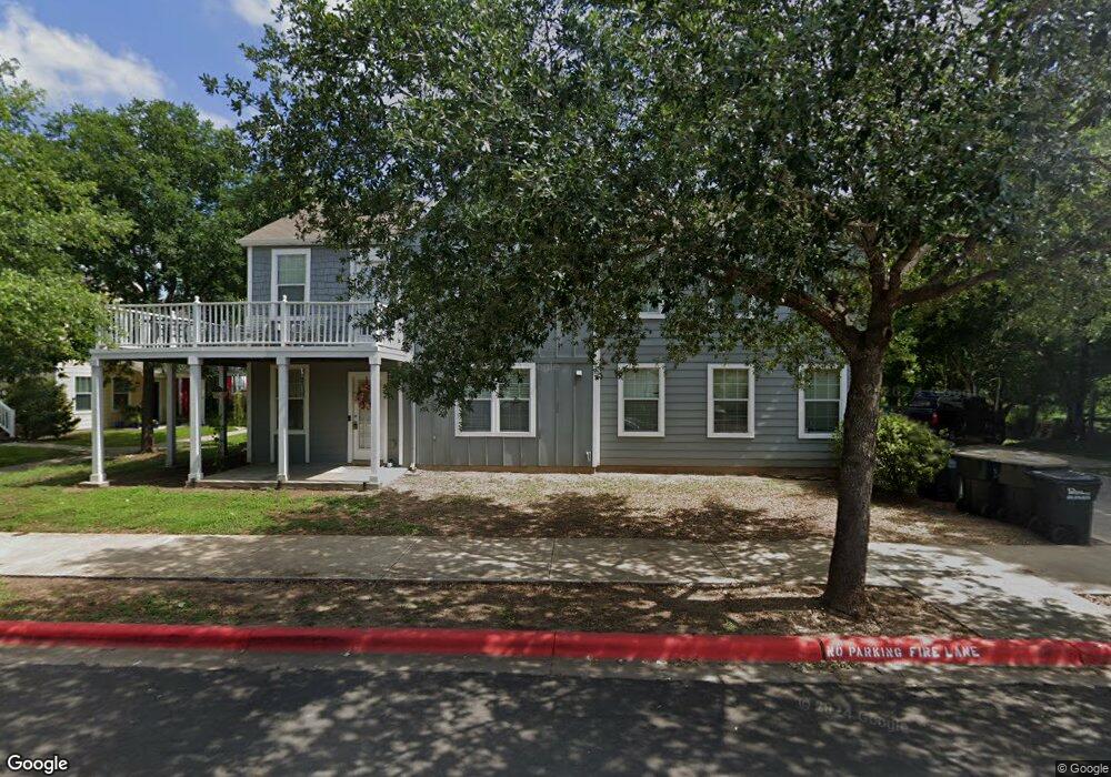
112 Trestle Tree Unit H152 San Marcos, TX 78666
Estimated Value: $194,000 - $262,000
2
Beds
2
Baths
1,200
Sq Ft
$190/Sq Ft
Est. Value
About This Home
This home is located at 112 Trestle Tree Unit H152, San Marcos, TX 78666 and is currently estimated at $228,386, approximately $190 per square foot. 112 Trestle Tree Unit H152 is a home located in Hays County with nearby schools including Travis Elementary School, Dorris Miller Middle School, and San Marcos High School.
Ownership History
Date
Name
Owned For
Owner Type
Purchase Details
Closed on
May 28, 2021
Sold by
Ling Limei and Chen Junzhi
Bought by
Phillips Rhonda J
Current Estimated Value
Purchase Details
Closed on
Mar 22, 2019
Sold by
Ling Limei
Bought by
Chen Junzhi
Purchase Details
Closed on
Feb 24, 2010
Sold by
Bigelow San Marcos Development Llc
Bought by
Bryant Dustin and Trevino Rochelle
Home Financials for this Owner
Home Financials are based on the most recent Mortgage that was taken out on this home.
Original Mortgage
$109,469
Interest Rate
5.05%
Mortgage Type
New Conventional
Create a Home Valuation Report for This Property
The Home Valuation Report is an in-depth analysis detailing your home's value as well as a comparison with similar homes in the area
Home Values in the Area
Average Home Value in this Area
Purchase History
| Date | Buyer | Sale Price | Title Company |
|---|---|---|---|
| Phillips Rhonda J | -- | Chicago Title | |
| Chen Junzhi | -- | None Available | |
| Bryant Dustin | -- | San Marcos Title |
Source: Public Records
Mortgage History
| Date | Status | Borrower | Loan Amount |
|---|---|---|---|
| Previous Owner | Bryant Dustin | $109,469 |
Source: Public Records
Tax History Compared to Growth
Tax History
| Year | Tax Paid | Tax Assessment Tax Assessment Total Assessment is a certain percentage of the fair market value that is determined by local assessors to be the total taxable value of land and additions on the property. | Land | Improvement |
|---|---|---|---|---|
| 2025 | $2,509 | $247,570 | $48,080 | $199,490 |
| 2024 | $2,509 | $251,680 | $48,080 | $203,600 |
| 2023 | $5,233 | $275,121 | $50,880 | $231,670 |
| 2022 | $5,125 | $250,110 | $43,120 | $206,990 |
| 2021 | $3,721 | $168,830 | $17,220 | $151,610 |
| 2020 | $3,506 | $159,070 | $16,790 | $142,280 |
| 2019 | $3,802 | $154,460 | $16,790 | $137,670 |
| 2018 | $3,668 | $148,310 | $16,790 | $131,520 |
| 2017 | $3,330 | $138,500 | $12,360 | $126,140 |
| 2016 | $2,973 | $123,650 | $12,360 | $111,290 |
| 2015 | $2,594 | $117,100 | $12,360 | $104,740 |
Source: Public Records
Map
Nearby Homes
- 201 Trestle Tree
- 226 Trestle Tree
- 210 Rush Haven
- 122 Rush Haven
- 122 Rush Haven Unit F093
- 249 Trestle Tree
- 252 Newberry Trail
- 330 Trestle Tree Unit 22
- 316 Perry St
- 340 Trestle Tree
- 323 Rachel St
- 3245 N Old Bastrop Hwy
- 338 Newberry Trail
- 329 Newberry Trail
- 244 Soul Harvest Pass
- 1322 N Interstate 35
- 000A Pecan St
- 000 Pecan St
- 709 Uhland Rd
- 241 New Albany Ln
- 112 Trestle Tree
- 112 Trestle Tree
- 112 Trestle Tree
- 112 Trestle Tree
- 112 Trestle Tree Unit H152
- 112 Trestle Tree Unit H152
- 112 Trestle Tree Unit H152
- 110 Trestle Tree
- 110 Trestle Tree Unit AB
- 110 Trestle Tree Unit C
- 112 Trestle
- 114 Trestle Tree Unit 103
- 116 Trestle Tree
- 114 Trestle Tree
- 114 Trestle Tree Unit A/B/C
- 114 Trestle Tree
- 114 Trestle Tree Unit 103
- 114 Trestle Tree
- 114 Trestle Tree
- 114 Trestle Tree