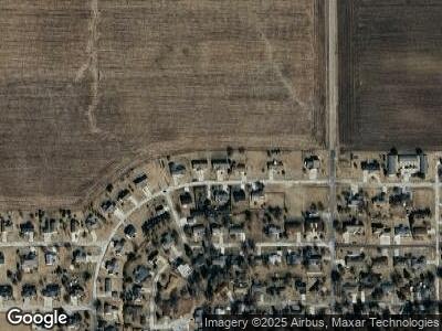
112 W 10th St Unit A Gridley, IL 61744
Estimated Value: $148,000 - $161,000
--
Bed
--
Bath
1,270
Sq Ft
$121/Sq Ft
Est. Value
About This Home
This home is located at 112 W 10th St Unit A, Gridley, IL 61744 and is currently estimated at $153,064, approximately $120 per square foot. 112 W 10th St Unit A is a home located in McLean County with nearby schools including El Paso-Gridley High School.
Ownership History
Date
Name
Owned For
Owner Type
Purchase Details
Closed on
Dec 23, 2024
Sold by
Schick Eugene W
Bought by
Eugene W Schick Trust
Current Estimated Value
Purchase Details
Closed on
Dec 21, 2022
Sold by
Funk Shirley J
Bought by
Schick Eugene W and Funk Loren L
Purchase Details
Closed on
Mar 29, 2010
Sold by
Brittany Land & Development Company Llc
Bought by
Funk Shirley J
Create a Home Valuation Report for This Property
The Home Valuation Report is an in-depth analysis detailing your home's value as well as a comparison with similar homes in the area
Home Values in the Area
Average Home Value in this Area
Purchase History
| Date | Buyer | Sale Price | Title Company |
|---|---|---|---|
| Schick Eugene W | $135,000 | -- | |
| Funk Shirley J | $115,000 | Mclean County Title | |
| Brittany Land & Development Company Llc | -- | Mclean County Title |
Source: Public Records
Mortgage History
| Date | Status | Borrower | Loan Amount |
|---|---|---|---|
| Previous Owner | Brittany Land & Development Company Llc | $172,565 |
Source: Public Records
Tax History Compared to Growth
Tax History
| Year | Tax Paid | Tax Assessment Tax Assessment Total Assessment is a certain percentage of the fair market value that is determined by local assessors to be the total taxable value of land and additions on the property. | Land | Improvement |
|---|---|---|---|---|
| 2022 | $2,717 | $41,463 | $4,305 | $37,158 |
| 2021 | $2,539 | $39,190 | $4,069 | $35,121 |
| 2020 | $2,367 | $37,246 | $3,867 | $33,379 |
| 2019 | $2,261 | $36,277 | $3,766 | $32,511 |
| 2018 | $2,272 | $36,277 | $3,766 | $32,511 |
| 2017 | $2,273 | $36,277 | $3,766 | $32,511 |
| 2016 | $2,182 | $35,067 | $3,640 | $31,427 |
| 2015 | $2,045 | $33,953 | $3,524 | $30,429 |
| 2014 | $1,985 | $33,448 | $3,472 | $29,976 |
| 2013 | -- | $34,518 | $3,583 | $30,935 |
Source: Public Records
Map
Nearby Homes
- 611 N Center St
- 115 E 6th St
- 206 W 1st St
- 298 N Adams St
- 623 E Front St
- 568 E 1500 Rd N
- 469 Elmwood Ct
- 475 E Jefferson St Unit 8
- 413 Abby Rd
- 393 E Front St
- 1101 N Pine St
- 128 N Cherry St
- 105 1st St S
- 309 1st St S
- 127 N Elm St
- 25175 N 2175 Rd E
- 25289 White Owl Ln
- 198 N Michigan St
- 554 Fairway Dr
- 2844 Saint Andrews Ct
