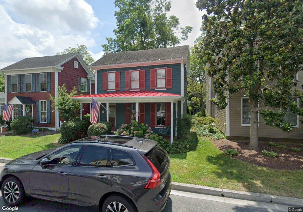
112 W Chew Ave Saint Michaels, MD 21663
Estimated Value: $638,385 - $822,000
--
Bed
1
Bath
1,978
Sq Ft
$385/Sq Ft
Est. Value
About This Home
This home is located at 112 W Chew Ave, Saint Michaels, MD 21663 and is currently estimated at $761,096, approximately $384 per square foot. 112 W Chew Ave is a home located in Talbot County with nearby schools including St. Michaels Elementary School, St. Michaels Middle/High School, and Easton High School.
Ownership History
Date
Name
Owned For
Owner Type
Purchase Details
Closed on
Dec 31, 2003
Sold by
Oursler David A
Bought by
Oursler Deborah A
Current Estimated Value
Purchase Details
Closed on
Dec 20, 1991
Sold by
Cooper James A and Cooper Jean Ann
Bought by
Oursler David A
Home Financials for this Owner
Home Financials are based on the most recent Mortgage that was taken out on this home.
Original Mortgage
$123,750
Interest Rate
8.49%
Purchase Details
Closed on
May 15, 1990
Sold by
Brown Randolph O and Brown Helen V
Bought by
Cooper James A and Cooper Jean Ann
Create a Home Valuation Report for This Property
The Home Valuation Report is an in-depth analysis detailing your home's value as well as a comparison with similar homes in the area
Home Values in the Area
Average Home Value in this Area
Purchase History
| Date | Buyer | Sale Price | Title Company |
|---|---|---|---|
| Oursler Deborah A | -- | -- | |
| Oursler David A | $165,000 | -- | |
| Cooper James A | $36,800 | -- |
Source: Public Records
Mortgage History
| Date | Status | Borrower | Loan Amount |
|---|---|---|---|
| Previous Owner | Oursler David A | $123,750 |
Source: Public Records
Tax History Compared to Growth
Tax History
| Year | Tax Paid | Tax Assessment Tax Assessment Total Assessment is a certain percentage of the fair market value that is determined by local assessors to be the total taxable value of land and additions on the property. | Land | Improvement |
|---|---|---|---|---|
| 2025 | $1,592 | $505,100 | $233,700 | $271,400 |
| 2024 | $1,592 | $484,100 | $0 | $0 |
| 2023 | $1,524 | $463,100 | $0 | $0 |
| 2022 | $1,462 | $442,100 | $233,700 | $208,400 |
| 2021 | $1,412 | $423,900 | $0 | $0 |
| 2020 | $1,412 | $405,700 | $0 | $0 |
| 2019 | $1,391 | $387,500 | $175,000 | $212,500 |
| 2018 | $1,345 | $363,833 | $0 | $0 |
| 2017 | $1,286 | $340,167 | $0 | $0 |
| 2016 | $1,150 | $316,500 | $0 | $0 |
| 2015 | $1,284 | $316,500 | $0 | $0 |
| 2014 | $1,284 | $316,500 | $0 | $0 |
Source: Public Records
Map
Nearby Homes
- 100 Grace St
- 107 E Chestnut St
- 0 Grace St Unit MDTA2012346
- 105 Seymour Ave
- 704 Meadow St
- Lot 16A Meadow St
- 222 E Chestnut St
- 216 E Chew Ave
- 102 Gloria Ave
- 807 Radcliff Ave
- 207 Dodson Ave
- 408 Spinnaker Ln
- 25500 Chance Farm Rd
- 209 Webb Ln
- 300 Perry St
- 216 Brooks Ln
- 912 Calvert Ave
- 228 Tyler Ave
- 24390 Oakwood Park Rd
- 24318 Oakwood Park Rd
- 114 W Chew Ave
- 110 W Chew Ave
- 108 W Chew Ave
- 200 W Chew Ave
- 106 W Chew Ave
- 111 W Marengo St
- 113 W Chew Ave
- 111 W Chew Ave
- 201 W Chew Ave
- 203 W Chew Ave
- 115 W Chew Ave
- 602 Division St
- 117 W Chew Ave
- 109 W Marengo St
- 205 W Chew Ave
- 107 W Marengo St
- 107 W Chew Ave
- 102 W Chew Ave
- 112 W Chestnut St
- 208 W Chew Ave