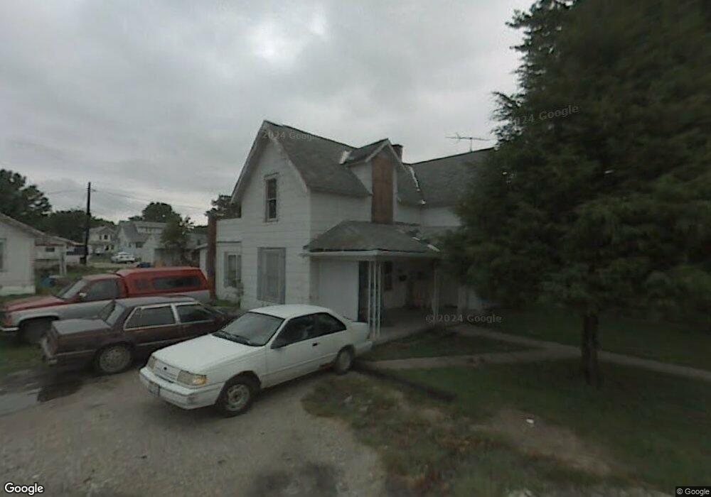
112 W Union St Walbridge, OH 43465
Estimated Value: $44,000 - $216,000
5
Beds
3
Baths
2,476
Sq Ft
$60/Sq Ft
Est. Value
About This Home
This home is located at 112 W Union St, Walbridge, OH 43465 and is currently estimated at $148,680, approximately $60 per square foot. 112 W Union St is a home located in Wood County with nearby schools including Lake Elementary School, Lake Middle School, and Lake High School.
Ownership History
Date
Name
Owned For
Owner Type
Purchase Details
Closed on
Feb 18, 2011
Sold by
Pat & Mikes Partnership
Bought by
Slone Tivis B
Current Estimated Value
Purchase Details
Closed on
Aug 15, 2009
Sold by
Ray Larry W and Ray Anna S
Bought by
Slone Tivis B
Purchase Details
Closed on
Jun 5, 2008
Sold by
Goucher Richard E and Goucher Ann Marie
Bought by
Ray Larry W and Ray Anna S
Purchase Details
Closed on
Dec 3, 2002
Sold by
Pack Larry J and Pack Sally J
Bought by
Ray Larry W and Ray Anna S
Purchase Details
Closed on
Mar 21, 1990
Bought by
Pack Larry J
Create a Home Valuation Report for This Property
The Home Valuation Report is an in-depth analysis detailing your home's value as well as a comparison with similar homes in the area
Home Values in the Area
Average Home Value in this Area
Purchase History
| Date | Buyer | Sale Price | Title Company |
|---|---|---|---|
| Slone Tivis B | $5,000 | Attorney | |
| Slone Tivis B | $10,000 | Attorney | |
| Ray Larry W | -- | Attorney | |
| Ray Larry W | -- | -- | |
| Pack Larry J | $24,600 | -- |
Source: Public Records
Tax History Compared to Growth
Tax History
| Year | Tax Paid | Tax Assessment Tax Assessment Total Assessment is a certain percentage of the fair market value that is determined by local assessors to be the total taxable value of land and additions on the property. | Land | Improvement |
|---|---|---|---|---|
| 2024 | $561 | $12,320 | $7,420 | $4,900 |
| 2023 | $561 | $12,320 | $7,420 | $4,900 |
| 2021 | $587 | $10,990 | $7,420 | $3,570 |
| 2020 | $565 | $10,990 | $7,420 | $3,570 |
| 2019 | $576 | $10,330 | $7,420 | $2,910 |
| 2018 | $573 | $10,330 | $7,420 | $2,910 |
| 2017 | $570 | $10,330 | $7,420 | $2,910 |
| 2016 | $494 | $9,140 | $6,690 | $2,450 |
| 2015 | $494 | $9,140 | $6,690 | $2,450 |
| 2014 | $522 | $9,140 | $6,690 | $2,450 |
| 2013 | $302 | $10,150 | $7,420 | $2,730 |
Source: Public Records
Map
Nearby Homes
- 103 W Union St
- 117 N Main St
- 119 N Main St
- 121 N Main St
- 112 Guy St
- 225 E Union St
- 507 N Main St
- 104 Revere Rd
- 215 Earl St
- 148 Meadowgate Dr
- 30643 Drouillard Rd
- 30619 Drouillard Rd
- Integrity 2000 Plan at Meadowgate
- Integrity 1605 Plan at Meadowgate
- Integrity 2080 Plan at Meadowgate
- Integrity 1750 Plan at Meadowgate
- Integrity 1830 Plan at Meadowgate
- Integrity 2190 Plan at Meadowgate
- Integrity 2060 Plan at Meadowgate
- Integrity 1910 Plan at Meadowgate