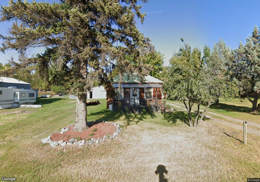
112 West Ave Eureka, MT 59917
Estimated Value: $71,077 - $182,000
2
Beds
1
Bath
960
Sq Ft
$119/Sq Ft
Est. Value
About This Home
This home is located at 112 West Ave, Eureka, MT 59917 and is currently estimated at $114,269, approximately $119 per square foot. 112 West Ave is a home located in Lincoln County with nearby schools including Eureka Elementary School, Eureka Middle School, and Lincoln County High School.
Ownership History
Date
Name
Owned For
Owner Type
Purchase Details
Closed on
Mar 3, 2015
Sold by
Fannie Mae
Bought by
Fifield Jason A
Current Estimated Value
Home Financials for this Owner
Home Financials are based on the most recent Mortgage that was taken out on this home.
Original Mortgage
$25,900
Outstanding Balance
$19,756
Interest Rate
3.57%
Mortgage Type
Unknown
Estimated Equity
$94,513
Purchase Details
Closed on
Nov 3, 2014
Sold by
Nationstar Mortgage Llc
Bought by
Federal National Mortgage Association
Purchase Details
Closed on
Oct 26, 2006
Sold by
Young Erick T
Bought by
Carolin Raylynn K
Home Financials for this Owner
Home Financials are based on the most recent Mortgage that was taken out on this home.
Original Mortgage
$72,900
Interest Rate
7.37%
Mortgage Type
Adjustable Rate Mortgage/ARM
Create a Home Valuation Report for This Property
The Home Valuation Report is an in-depth analysis detailing your home's value as well as a comparison with similar homes in the area
Purchase History
| Date | Buyer | Sale Price | Title Company |
|---|---|---|---|
| Fifield Jason A | -- | First American Title Company | |
| Federal National Mortgage Association | -- | None Available | |
| Carolin Raylynn K | -- | First American Title Co |
Source: Public Records
Mortgage History
| Date | Status | Borrower | Loan Amount |
|---|---|---|---|
| Open | Fifield Jason A | $25,900 | |
| Previous Owner | Carolin Raylynn K | $72,900 |
Source: Public Records
Tax History
| Year | Tax Paid | Tax Assessment Tax Assessment Total Assessment is a certain percentage of the fair market value that is determined by local assessors to be the total taxable value of land and additions on the property. | Land | Improvement |
|---|---|---|---|---|
| 2025 | $196 | $54,200 | $0 | $0 |
| 2024 | $299 | $47,350 | $0 | $0 |
| 2023 | $386 | $47,350 | $0 | $0 |
| 2022 | $243 | $30,650 | $0 | $0 |
| 2021 | $261 | $30,650 | $0 | $0 |
| 2020 | $279 | $22,000 | $0 | $0 |
| 2019 | $280 | $22,000 | $0 | $0 |
| 2018 | $278 | $21,650 | $0 | $0 |
| 2017 | $185 | $21,650 | $0 | $0 |
| 2016 | $263 | $20,000 | $0 | $0 |
| 2015 | $600 | $77,700 | $0 | $0 |
| 2014 | $854 | $56,339 | $0 | $0 |
Source: Public Records
Map
Nearby Homes
- 4 Acres U S 93
- 412 1st Ave E
- 506 1st Ave E Unit A,B,C
- 204 3rd Ave E
- Nhn Tobacco Rd
- 450 6th St E
- 317 6th Ave E
- 575 9th St
- 782 Othorp Lake Rd
- 148 Trail
- 884 US Highway 93 N
- 1355 6th Ave E
- Nhn Othorp Lake Rd Unit Lot 9
- 1838 Mills Spring Rd
- 762 Hillandale Trail
- 130 Crosscut Rd
- 77 Elmhurst Way
- 560 Riding High Dr
- 390 Crosscut Rd
- NHN Hillandale
Your Personal Tour Guide
Ask me questions while you tour the home.